205 Rock Brook Blvd Montrose, MN 55363
Estimated Value: $235,000 - $265,000
2
Beds
1
Bath
1,172
Sq Ft
$212/Sq Ft
Est. Value
About This Home
This home is located at 205 Rock Brook Blvd, Montrose, MN 55363 and is currently estimated at $248,489, approximately $212 per square foot. 205 Rock Brook Blvd is a home located in Wright County with nearby schools including Montrose Elementary School, Buffalo Community Middle School, and Buffalo Senior High School.
Ownership History
Date
Name
Owned For
Owner Type
Purchase Details
Closed on
Jul 12, 2011
Sold by
Danielson Real Estate Llc
Bought by
Not Provided
Current Estimated Value
Purchase Details
Closed on
Jun 17, 2011
Sold by
Danielson Real Estate Llc
Bought by
Not Provided
Purchase Details
Closed on
Oct 29, 2009
Sold by
Wells Fargo Bank Na
Bought by
Delude Joseph D
Purchase Details
Closed on
May 8, 2009
Sold by
Bank United Fsb
Bought by
Danielson Ross L
Purchase Details
Closed on
Apr 29, 2005
Sold by
Castle Ridge Development Llc
Bought by
Tj Land Trust Vi Llc
Create a Home Valuation Report for This Property
The Home Valuation Report is an in-depth analysis detailing your home's value as well as a comparison with similar homes in the area
Home Values in the Area
Average Home Value in this Area
Purchase History
| Date | Buyer | Sale Price | Title Company |
|---|---|---|---|
| Not Provided | $120,000 | -- | |
| Not Provided | $120,000 | -- | |
| Delude Joseph D | $80,000 | -- | |
| Danielson Ross L | $73,500 | -- | |
| Tj Land Trust Vi Llc | $1,076,250 | -- |
Source: Public Records
Tax History Compared to Growth
Tax History
| Year | Tax Paid | Tax Assessment Tax Assessment Total Assessment is a certain percentage of the fair market value that is determined by local assessors to be the total taxable value of land and additions on the property. | Land | Improvement |
|---|---|---|---|---|
| 2025 | $3,426 | $217,400 | $67,000 | $150,400 |
| 2024 | $2,622 | $224,700 | $77,000 | $147,700 |
| 2023 | $2,588 | $226,700 | $77,000 | $149,700 |
| 2022 | $2,472 | $204,500 | $69,000 | $135,500 |
| 2021 | $2,438 | $163,200 | $35,000 | $128,200 |
| 2020 | $2,482 | $157,000 | $35,000 | $122,000 |
| 2019 | $1,612 | $156,800 | $0 | $0 |
| 2018 | $1,266 | $99,000 | $0 | $0 |
| 2017 | $1,150 | $75,800 | $0 | $0 |
| 2016 | $1,100 | $0 | $0 | $0 |
| 2015 | $910 | $0 | $0 | $0 |
| 2014 | -- | $0 | $0 | $0 |
Source: Public Records
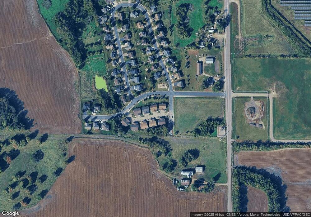
Map
Nearby Homes
- 301 Center Ave S
- 305 Garfield Ave S
- 517 2nd St S
- 1766 US Highway 12 SW
- 150 Pheasant Ridge Dr
- 137 Pheasant Ridge Dr
- 161 Mindy Ln Unit 9
- 149 Mindy Ln
- 140 Garner Cir
- 426 Dillon Ave N
- 151 Garner Cir
- 2113 Birch Ln
- 2010 Apple Ln
- 2008 Apple Ln
- 610 Emerson Ave N
- 2105 Birch Ln
- 2002 Apple Ln
- 7040 Meridian Ave S
- The Hazelwood Plan at Preserve of Montrose
- The Birchwood Plan at Preserve of Montrose
- 207 Rock Brook Blvd
- 203 Rock Brook Blvd
- 201 Rock Brook Blvd
- 209 Rock Brook Blvd
- 211 Rock Brook Blvd
- 202 Rock Brook Blvd
- 213 Rock Brook Blvd
- 200 Rock Brook Blvd
- 206 Rock Brook Blvd
- 215 Rock Brook Blvd
- 208 Rock Brook Blvd
- 210 Rock Brook Blvd
- 704 704 Brook-Circle-w
- 704 Brook Cir W
- 212 Rock Brook Blvd
- 214 Rock Brook Blvd
- 747 Brook Cir E
- 706 Brook Cir W
- 703 Brook Cir W
- 216 Rock Brook Blvd