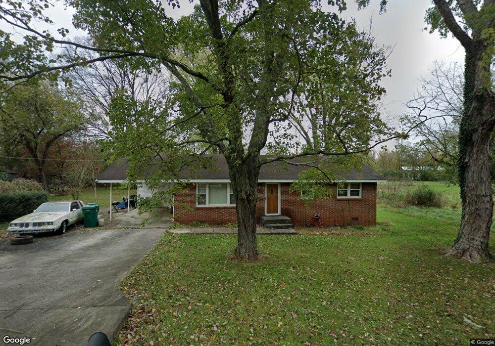
205 Ruby St Winchester, TN 37398
Estimated Value: $133,470 - $202,000
Studio
1
Bath
1,050
Sq Ft
$168/Sq Ft
Est. Value
About This Home
This home is located at 205 Ruby St, Winchester, TN 37398 and is currently estimated at $176,368, approximately $167 per square foot. 205 Ruby St is a home located in Franklin County with nearby schools including North Middle School, Franklin County High School, and Winchester Christian Academy.
Ownership History
Date
Name
Owned For
Owner Type
Purchase Details
Closed on
Jul 16, 2004
Sold by
Trussell Darrell Andrew
Bought by
Kinslow Jamin
Current Estimated Value
Home Financials for this Owner
Home Financials are based on the most recent Mortgage that was taken out on this home.
Original Mortgage
$51,300
Interest Rate
6.24%
Purchase Details
Closed on
Dec 28, 1992
Bought by
Trussell Darrell Andrew
Purchase Details
Closed on
Feb 18, 1965
Bought by
Trussell James Ronald and Patsy Jean
Create a Home Valuation Report for This Property
The Home Valuation Report is an in-depth analysis detailing your home's value as well as a comparison with similar homes in the area
Home Values in the Area
Average Home Value in this Area
Purchase History
| Date | Buyer | Sale Price | Title Company |
|---|---|---|---|
| Kinslow Jamin | $52,500 | -- | |
| Trussell Darrell Andrew | $19,500 | -- | |
| Trussell James Ronald | -- | -- |
Source: Public Records
Mortgage History
| Date | Status | Borrower | Loan Amount |
|---|---|---|---|
| Closed | Trussell James Ronald | $51,300 |
Source: Public Records
Tax History
| Year | Tax Paid | Tax Assessment Tax Assessment Total Assessment is a certain percentage of the fair market value that is determined by local assessors to be the total taxable value of land and additions on the property. | Land | Improvement |
|---|---|---|---|---|
| 2025 | -- | $26,350 | $2,700 | $23,650 |
| 2024 | -- | $26,350 | $2,700 | $23,650 |
| 2023 | $678 | $26,350 | $2,700 | $23,650 |
| 2022 | $665 | $26,350 | $2,700 | $23,650 |
| 2021 | $338 | $26,350 | $2,700 | $23,650 |
| 2020 | $348 | $13,200 | $2,125 | $11,075 |
| 2019 | $466 | $13,200 | $2,125 | $11,075 |
| 2018 | $439 | $13,200 | $2,125 | $11,075 |
| 2017 | $439 | $13,200 | $2,125 | $11,075 |
| 2016 | $412 | $12,375 | $2,125 | $10,250 |
| 2015 | $404 | $12,375 | $2,125 | $10,250 |
| 2014 | $405 | $12,376 | $0 | $0 |
Source: Public Records
Map
Nearby Homes
- 0 Sharp Springs Rd Unit RTC3134214
- 119 Highland Dr
- 540 Milton Ln
- 103 Lisa Cir
- 107 Highland Dr
- 713 Hunt St
- 711 Hunt St
- 417 Laura Ave
- 102 Dogwood Ln
- 211 S Porter St
- 213 S Porter St
- 215 S Porter St
- 217 S Porter St
- 111 Dogwood Ln
- 1019 Old Cowan Rd
- 207 Franklin Park
- 203 3rd Ave NE
- 209 Franklin Park
- 201&203 3rd Ave NE
- 0 River Watch Way Unit RTC3119354
Your Personal Tour Guide
Ask me questions while you tour the home.