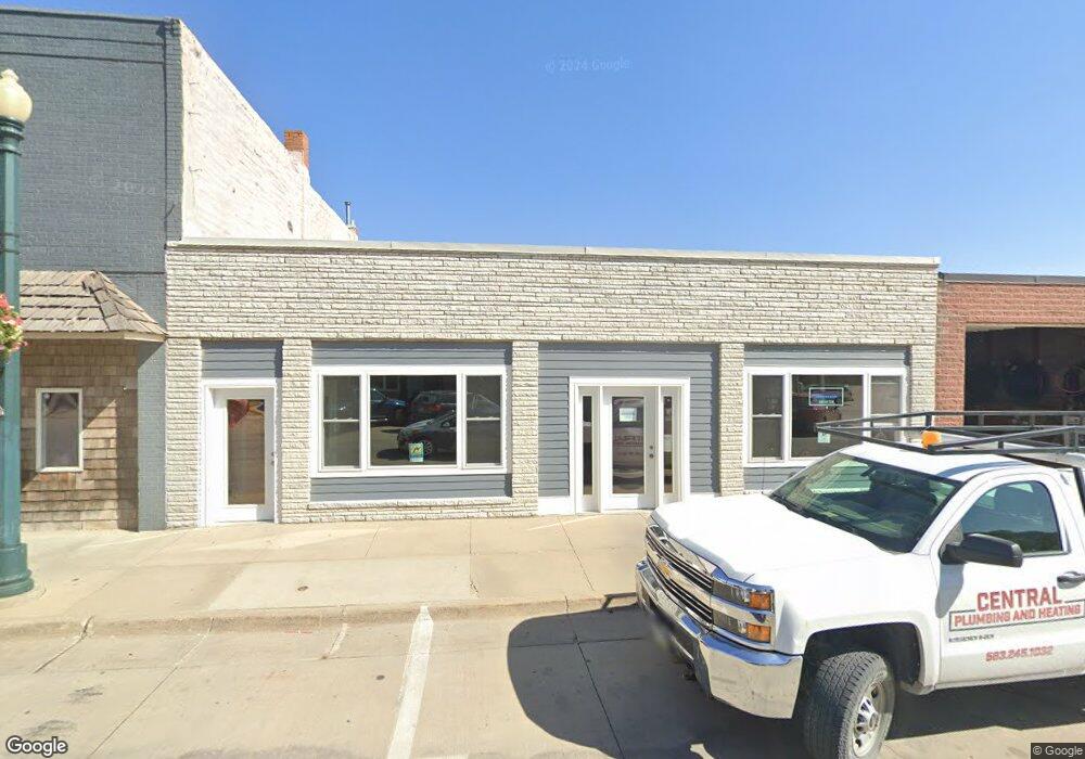
205 S Main St Elkader, IA 52043
Estimated Value: $66,676
--
Bed
--
Bath
2,600
Sq Ft
$26/Sq Ft
Est. Value
About This Home
This home is located at 205 S Main St, Elkader, IA 52043 and is currently estimated at $66,676, approximately $25 per square foot. 205 S Main St is a home located in Clayton County with nearby schools including Central Elementary School and Central Middle School/High School.
Ownership History
Date
Name
Owned For
Owner Type
Purchase Details
Closed on
Sep 13, 2017
Sold by
Zapf J P and Zapf Cynthia L
Bought by
Doeppke Brian L and Doeppke Julie M
Current Estimated Value
Home Financials for this Owner
Home Financials are based on the most recent Mortgage that was taken out on this home.
Original Mortgage
$33,807
Outstanding Balance
$28,156
Interest Rate
3.89%
Mortgage Type
New Conventional
Estimated Equity
$38,520
Create a Home Valuation Report for This Property
The Home Valuation Report is an in-depth analysis detailing your home's value as well as a comparison with similar homes in the area
Home Values in the Area
Average Home Value in this Area
Purchase History
| Date | Buyer | Sale Price | Title Company |
|---|---|---|---|
| Doeppke Brian L | -- | None Available |
Source: Public Records
Mortgage History
| Date | Status | Borrower | Loan Amount |
|---|---|---|---|
| Open | Doeppke Brian L | $33,807 |
Source: Public Records
Tax History Compared to Growth
Tax History
| Year | Tax Paid | Tax Assessment Tax Assessment Total Assessment is a certain percentage of the fair market value that is determined by local assessors to be the total taxable value of land and additions on the property. | Land | Improvement |
|---|---|---|---|---|
| 2025 | $1,836 | $83,941 | $12,948 | $70,993 |
| 2024 | $1,332 | $73,503 | $11,771 | $61,732 |
| 2023 | $1,386 | $58,585 | $11,771 | $46,814 |
| 2022 | $1,282 | $53,057 | $10,701 | $42,356 |
| 2021 | $1,080 | $53,057 | $10,701 | $42,356 |
| 2020 | $1,080 | $46,660 | $10,728 | $35,932 |
| 2019 | $986 | $46,660 | $10,728 | $35,932 |
| 2018 | $986 | $43,607 | $10,517 | $33,090 |
| 2017 | $1,068 | $47,994 | $10,517 | $37,477 |
| 2015 | $1,000 | $43,631 | $9,561 | $34,070 |
| 2014 | $942 | $43,631 | $9,561 | $34,070 |
Source: Public Records
Map
Nearby Homes
- 117 S Main St
- 209 2nd St SW
- 301 N 1st St
- 302 N 3rd St
- 0 E Bridge St
- 702 N Main St
- 707 N Main St
- 710 Woodland Dr NW
- 247 Franzen Ridge Rd
- 249 Franzen Ridge Rd
- 27766 Highway 13
- 0 13 Hwy Unit NBR20255145
- 27455 Harbor Rd
- 0 Grandview Rd
- 14149 Iowa 56
- TBD Country Rd
- 305 S Russell St
- TBD Birch Rd
- 108 Adams Ct
- 306 S Monroe St