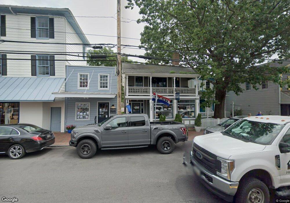
205 S Talbot St Saint Michaels, MD 21663
Estimated Value: $569,330
--
Bed
--
Bath
1,216
Sq Ft
$468/Sq Ft
Est. Value
About This Home
This home is located at 205 S Talbot St, Saint Michaels, MD 21663 and is currently estimated at $569,330, approximately $468 per square foot. 205 S Talbot St is a home located in Talbot County with nearby schools including St. Michaels Elementary School, St. Michaels Middle/High School, and Easton High School.
Ownership History
Date
Name
Owned For
Owner Type
Purchase Details
Closed on
Feb 3, 2023
Sold by
Trappe Station Llc
Bought by
Fluidedge Holdings Llc
Current Estimated Value
Purchase Details
Closed on
Feb 20, 2013
Sold by
The Knapp Foundation Incorporated
Bought by
The Trappe Station Llc
Purchase Details
Closed on
Nov 17, 1980
Sold by
Marshall Norman D
Bought by
Knapp Foundation Inc
Home Financials for this Owner
Home Financials are based on the most recent Mortgage that was taken out on this home.
Original Mortgage
$32,000
Interest Rate
14.18%
Create a Home Valuation Report for This Property
The Home Valuation Report is an in-depth analysis detailing your home's value as well as a comparison with similar homes in the area
Home Values in the Area
Average Home Value in this Area
Purchase History
| Date | Buyer | Sale Price | Title Company |
|---|---|---|---|
| Fluidedge Holdings Llc | $485,000 | Chicago Title | |
| The Trappe Station Llc | $415,000 | Venture Title Company | |
| Knapp Foundation Inc | $45,000 | -- |
Source: Public Records
Mortgage History
| Date | Status | Borrower | Loan Amount |
|---|---|---|---|
| Previous Owner | Knapp Foundation Inc | $32,000 |
Source: Public Records
Tax History Compared to Growth
Tax History
| Year | Tax Paid | Tax Assessment Tax Assessment Total Assessment is a certain percentage of the fair market value that is determined by local assessors to be the total taxable value of land and additions on the property. | Land | Improvement |
|---|---|---|---|---|
| 2025 | $4,976 | $410,800 | $207,500 | $203,300 |
| 2024 | $4,976 | $403,033 | $0 | $0 |
| 2023 | $4,694 | $395,267 | $0 | $0 |
| 2022 | $4,443 | $387,500 | $207,500 | $180,000 |
| 2021 | $4,310 | $383,467 | $0 | $0 |
| 2020 | $4,310 | $379,433 | $0 | $0 |
| 2019 | $4,264 | $375,400 | $207,500 | $167,900 |
| 2018 | $4,102 | $367,833 | $0 | $0 |
| 2017 | $3,890 | $360,267 | $0 | $0 |
| 2016 | $3,226 | $352,700 | $0 | $0 |
| 2015 | $3,027 | $335,233 | $0 | $0 |
| 2014 | $3,027 | $317,767 | $0 | $0 |
Source: Public Records
Map
Nearby Homes
- 100 Grace St
- 102 Gloria Ave
- 107 E Chestnut St
- 207 Dodson Ave
- 408 Spinnaker Ln
- 222 E Chestnut St
- 209 Webb Ln
- 0 Grace St Unit MDTA2012346
- 300 Perry St
- 25500 Chance Farm Rd
- 216 E Chew Ave
- 216 Brooks Ln
- 704 Meadow St
- Lot 16A Meadow St
- 105 Seymour Ave
- 807 Radcliff Ave
- 912 Calvert Ave
- 228 Tyler Ave
- 24390 Oakwood Park Rd
- 9171 Deepwater Point Rd
- 105 S Talbot St
- 109 S Talbot St
- 107 S Talbot St Unit FIRST FLOOR
- 107 S Talbot St
- 103 S Talbot St
- 111 N Talbot St
- 101 S Talbot St
- 100 Cherry St
- 102 Cherry St
- 105 Carpenter St
- 102 S Talbot St
- 104 Cherry St
- 102 Carpenter St
- 201 N Talbot St
- 201 N Talbot St Unit GROUND FLOOR
- 104 Carpenter St
- 114 S Talbot St
- 209 S Talbot St
- 106 Railroad Ave
- 101 N Talbot St