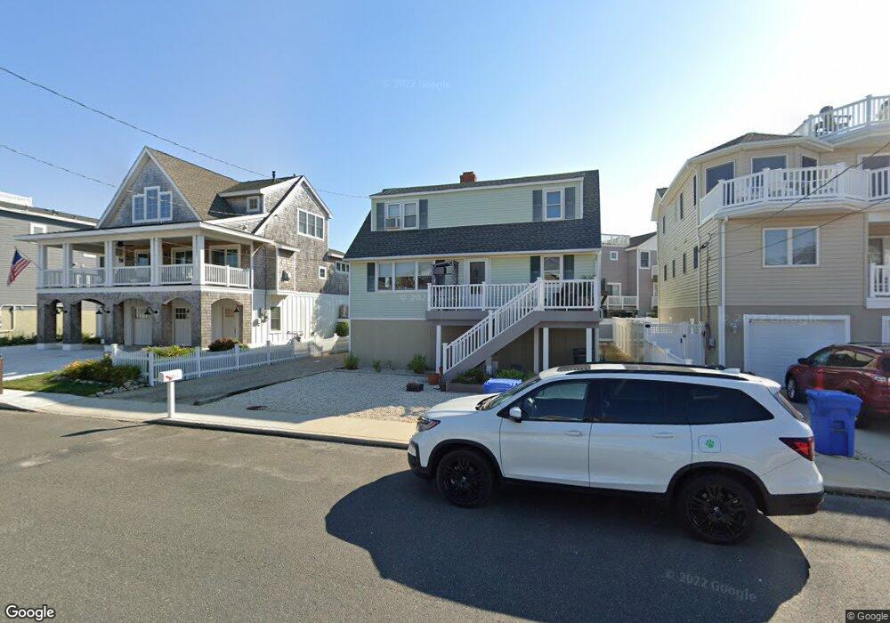
205 S West Ave Beach Haven, NJ 08008
Long Beach Island NeighborhoodEstimated Value: $1,225,371 - $1,887,000
3
Beds
2
Baths
1,384
Sq Ft
$1,136/Sq Ft
Est. Value
About This Home
This home is located at 205 S West Ave, Beach Haven, NJ 08008 and is currently estimated at $1,571,593, approximately $1,135 per square foot. 205 S West Ave is a home located in Ocean County with nearby schools including Beach Haven School, Southern Regional Middle School, and Southern Regional High School.
Ownership History
Date
Name
Owned For
Owner Type
Purchase Details
Closed on
Dec 11, 1998
Sold by
Bahner Robert F and Bahner Anna M
Bought by
Cochran Douglas H
Current Estimated Value
Home Financials for this Owner
Home Financials are based on the most recent Mortgage that was taken out on this home.
Original Mortgage
$161,200
Interest Rate
6.51%
Create a Home Valuation Report for This Property
The Home Valuation Report is an in-depth analysis detailing your home's value as well as a comparison with similar homes in the area
Home Values in the Area
Average Home Value in this Area
Purchase History
| Date | Buyer | Sale Price | Title Company |
|---|---|---|---|
| Cochran Douglas H | $201,500 | -- |
Source: Public Records
Mortgage History
| Date | Status | Borrower | Loan Amount |
|---|---|---|---|
| Closed | Cochran Douglas H | $161,200 |
Source: Public Records
Tax History Compared to Growth
Tax History
| Year | Tax Paid | Tax Assessment Tax Assessment Total Assessment is a certain percentage of the fair market value that is determined by local assessors to be the total taxable value of land and additions on the property. | Land | Improvement |
|---|---|---|---|---|
| 2025 | $7,183 | $547,500 | $432,400 | $115,100 |
| 2024 | $6,630 | $547,500 | $432,400 | $115,100 |
| 2023 | $6,159 | $547,500 | $432,400 | $115,100 |
| 2022 | $6,159 | $547,500 | $432,400 | $115,100 |
| 2021 | $6,006 | $547,500 | $432,400 | $115,100 |
| 2020 | $6,137 | $547,500 | $432,400 | $115,100 |
| 2019 | $5,962 | $547,500 | $432,400 | $115,100 |
| 2018 | $6,170 | $547,500 | $432,400 | $115,100 |
| 2017 | $5,891 | $547,500 | $432,400 | $115,100 |
| 2016 | $6,276 | $473,300 | $368,000 | $105,300 |
| 2015 | $6,006 | $473,300 | $368,000 | $105,300 |
| 2014 | $5,680 | $473,300 | $368,000 | $105,300 |
Source: Public Records
Map
Nearby Homes
- 507 Amber St Unit B
- 507 Amber Street U-B
- 310 W West Ave Unit 2E
- 531 Engleside Ave Unit 5
- 531 Engleside Ave
- 100 Northwest Ave
- 320 3rd St
- 317 3rd St
- 132 Coral St
- 225 4th St
- 109 Centre St
- 415 N Bay Ave Unit C
- 415 N Bay Ave Unit A
- 415 N Bay Ave Unit B
- 415 N Bay Ave Unit D
- 224 5th St Unit A
- 301 N Beach Ave
- 329 Essex Ave
- 1 Centre St Unit 1
- 310 N Atlantic Ave
- 207 S West Ave
- 203 S West Ave
- 502 Amber St
- 502 Amber St
- 502 Amber St Unit U-B
- 209 S West Ave
- 201 A S West Ave Unit A
- 202 S Pennsylvania Ave
- 204 S Pennsylvania Ave
- 201 S West Ave
- 201 S West Ave Unit B
- 500 Amber St
- 222 S West Ave
- 501 Coral St
- 224 S West Ave
- 218 S West Ave
- 208 W Avenue U-2 Ave
- 208 S West Ave
- 208 S West Ave
- 226 S West Ave