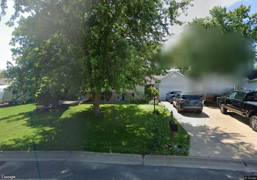
205 Shawnee Cir Eldridge, IA 52748
Estimated Value: $297,000 - $329,000
4
Beds
4
Baths
1,442
Sq Ft
$212/Sq Ft
Est. Value
About This Home
This home is located at 205 Shawnee Cir, Eldridge, IA 52748 and is currently estimated at $305,705, approximately $212 per square foot. 205 Shawnee Cir is a home located in Scott County with nearby schools including Neil Armstrong Elementary School, North Scott Junior High School, and North Scott Senior High School.
Ownership History
Date
Name
Owned For
Owner Type
Purchase Details
Closed on
Jan 15, 2009
Sold by
Crump Connie M
Bought by
Richards Russell William and Richards Elizabeth
Current Estimated Value
Home Financials for this Owner
Home Financials are based on the most recent Mortgage that was taken out on this home.
Original Mortgage
$199,192
Outstanding Balance
$125,973
Interest Rate
5.19%
Mortgage Type
VA
Estimated Equity
$179,732
Purchase Details
Closed on
Jan 13, 2009
Sold by
Crump Jeffrey S and Crump Connie M
Bought by
Crump Connie M
Home Financials for this Owner
Home Financials are based on the most recent Mortgage that was taken out on this home.
Original Mortgage
$199,192
Outstanding Balance
$125,973
Interest Rate
5.19%
Mortgage Type
VA
Estimated Equity
$179,732
Purchase Details
Closed on
Aug 6, 2008
Sold by
Crump Jeffery S and Crump Connie M
Bought by
Crump Jeffery S and Crump Connie M
Create a Home Valuation Report for This Property
The Home Valuation Report is an in-depth analysis detailing your home's value as well as a comparison with similar homes in the area
Home Values in the Area
Average Home Value in this Area
Purchase History
| Date | Buyer | Sale Price | Title Company |
|---|---|---|---|
| Richards Russell William | $195,000 | None Available | |
| Crump Connie M | -- | None Available | |
| Crump Jeffery S | -- | None Available |
Source: Public Records
Mortgage History
| Date | Status | Borrower | Loan Amount |
|---|---|---|---|
| Open | Richards Russell William | $199,192 |
Source: Public Records
Tax History
| Year | Tax Paid | Tax Assessment Tax Assessment Total Assessment is a certain percentage of the fair market value that is determined by local assessors to be the total taxable value of land and additions on the property. | Land | Improvement |
|---|---|---|---|---|
| 2025 | $2,472 | $266,400 | $29,500 | $236,900 |
| 2024 | $2,422 | $253,300 | $29,500 | $223,800 |
| 2023 | $2,522 | $253,300 | $29,500 | $223,800 |
| 2022 | $2,490 | $217,530 | $26,350 | $191,180 |
| 2021 | $2,490 | $217,530 | $26,350 | $191,180 |
| 2020 | $2,536 | $210,420 | $26,350 | $184,070 |
| 2019 | $2,536 | $201,660 | $26,350 | $175,310 |
| 2018 | $2,598 | $201,660 | $26,350 | $175,310 |
| 2017 | $2,604 | $201,660 | $26,350 | $175,310 |
| 2016 | $2,540 | $196,380 | $0 | $0 |
| 2015 | $2,540 | $0 | $0 | $0 |
| 2014 | $2,464 | $187,880 | $0 | $0 |
| 2013 | $2,428 | $0 | $0 | $0 |
| 2012 | -- | $189,630 | $26,350 | $163,280 |
Source: Public Records
Map
Nearby Homes
- 109 Blackhawk Dr
- 339 Hillside Dr
- 107 Park Lane Cir
- 222 S Park View Dr
- 111 Hillside Dr
- 4 Manor Ct
- 21 Manor Dr
- 27111 181st Ave Unit 1219
- 27115 181st Ave
- 27076 181st Ave
- 27119 181st Ave
- 27103 181st Ave
- 27018 Glynns Creek Ct
- 27010 182nd Avenue Ct
- 18116 271st St
- 307 E Donahue St
- 319 E Donahue St
- 20830 270th St
- 301 N 1st St
- 118 S 1st St
- 205 Shawnee Ct
- 203 Shawnee Ct
- 207 Shawnee Cir
- 203 Shawnee Cir
- 0 Shawnee Ct
- 209 Shawnee Ct
- 40 Jacob Ct
- 209 Shawnee Cir
- 200 Blackhawk Dr
- 44 Jacob Ct
- 120 Blackhawk Dr
- 202 Blackhawk Dr
- 208 Shawnee Cir
- 206 Shawnee Ct
- 206 Shawnee Cir
- 118 Blackhawk Dr
- 204 Blackhawk Dr
- 25 Nicholas Ct
- 27 Nicholas Ct
- 23 Nicholas Ct
Your Personal Tour Guide
Ask me questions while you tour the home.