205 Spokane St Wilbur, WA 99185
Estimated Value: $225,000 - $357,000
10
Beds
6
Baths
6,120
Sq Ft
$51/Sq Ft
Est. Value
About This Home
This home is located at 205 Spokane St, Wilbur, WA 99185 and is currently estimated at $313,777, approximately $51 per square foot. 205 Spokane St is a home located in Lincoln County with nearby schools including Wilbur Elementary School and Wilbur Secondary School.
Ownership History
Date
Name
Owned For
Owner Type
Purchase Details
Closed on
Oct 23, 2015
Sold by
Palmer Linda
Bought by
Goodwin Maxx Daniel and Amanda Ann
Current Estimated Value
Purchase Details
Closed on
Jul 29, 2015
Sold by
Anderson Ladawn Lee
Bought by
Palmer Linda
Purchase Details
Closed on
Jan 29, 2011
Sold by
Anderson Ladawn Lee
Bought by
Palmer Linda
Purchase Details
Closed on
Nov 30, 2007
Sold by
Palmer Linda Sue
Bought by
Palmer Linda Sue
Purchase Details
Closed on
Apr 29, 2005
Sold by
Brashear Garry and Brashear Audrey
Bought by
Brashear Garry and Brashear Audrey
Create a Home Valuation Report for This Property
The Home Valuation Report is an in-depth analysis detailing your home's value as well as a comparison with similar homes in the area
Home Values in the Area
Average Home Value in this Area
Purchase History
| Date | Buyer | Sale Price | Title Company |
|---|---|---|---|
| Goodwin Maxx Daniel | $20,000 | -- | |
| Palmer Linda | -- | -- | |
| Palmer Linda | -- | -- | |
| Palmer Linda Sue | $17,500 | -- | |
| Brashear Garry | $25,000 | -- |
Source: Public Records
Tax History Compared to Growth
Tax History
| Year | Tax Paid | Tax Assessment Tax Assessment Total Assessment is a certain percentage of the fair market value that is determined by local assessors to be the total taxable value of land and additions on the property. | Land | Improvement |
|---|---|---|---|---|
| 2025 | $2,747 | $269,420 | $34,310 | $235,110 |
| 2024 | $2,747 | $259,650 | $6,000 | $253,650 |
| 2023 | $2,869 | $257,650 | $4,000 | $253,650 |
| 2022 | $1,664 | $146,140 | $4,000 | $142,140 |
| 2021 | $51 | $4,000 | $4,000 | $0 |
| 2019 | $268 | $24,860 | $4,000 | $20,860 |
| 2018 | $320 | $24,860 | $4,000 | $20,860 |
| 2017 | $297 | $23,560 | $4,000 | $19,560 |
| 2015 | -- | $23,000 | $4,000 | $19,000 |
| 2013 | -- | $23,000 | $4,000 | $19,000 |
Source: Public Records
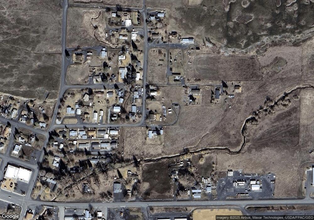
Map
Nearby Homes
- 449 NE Cliff Ave
- 749 NE North Ave
- 411 SE May Ave
- 405 SE Regent Ave
- 405 NW Dellah Ave
- 216 NW Cole Ave
- 1 NW Blake Ave
- 107 SE Regent Ave
- 506 SE Pope St
- 104 SE Regent Ave
- 4 NW Dellah Ave
- 403 NW Main Ave
- 313 SE Trinity Ave
- 522 NW Cole Ave
- 13550 State Route 2 E
- 516 SW Alder St
- 0 SW Trinity Ave Unit NWM1990391
- 510 SW College Ave
- 515 SW Richmond St
- NNA State Route 2 E
- 205 NE Spokane St
- 213 NE Spokane St
- 433 NE Cliff Ave
- 210 NE Spokane St
- 310 NE Spokane St
- 0 NE Cliff Ave Unit 1460162
- 434 NE North Ave
- 308 NE Spokane St
- 739 NE North Ave
- 432 NE Cliff Ave
- 435 NE North Ave
- 426 NE North Ave
- 433 NE Cadco Ave
- 429 NE North Ave
- 424 NE Cliff Ave
- 419 NE Cliff Ave
- 425 NE Cadco Ave
- 420 NE North Ave
- 633 NE Cadco Ave
- 304 NE Spokane St