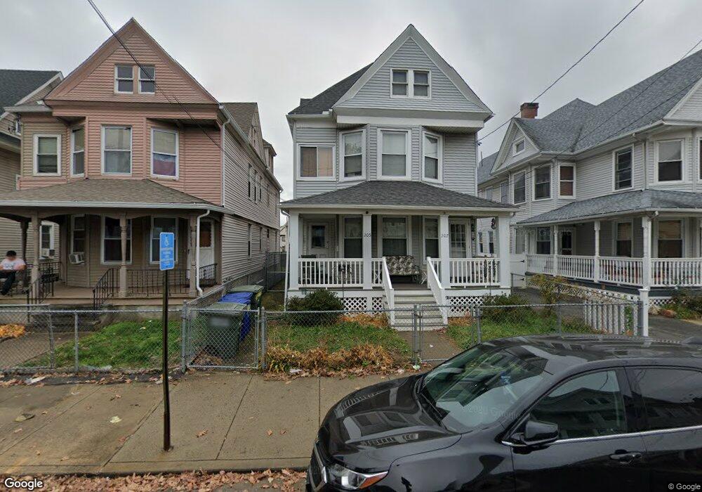
205 Wells St Bridgeport, CT 06606
Brooklawn-Saint Vincent NeighborhoodEstimated Value: $289,000 - $613,000
4
Beds
2
Baths
2,896
Sq Ft
$160/Sq Ft
Est. Value
About This Home
This home is located at 205 Wells St, Bridgeport, CT 06606 and is currently estimated at $464,300, approximately $160 per square foot. 205 Wells St is a home located in Fairfield County with nearby schools including Read School, Central High School, and Catholic Academy of Bridgeport-St. Raphael Academy.
Ownership History
Date
Name
Owned For
Owner Type
Purchase Details
Closed on
Apr 4, 2022
Sold by
Venture Group Llc
Bought by
Keenan Kelly
Current Estimated Value
Home Financials for this Owner
Home Financials are based on the most recent Mortgage that was taken out on this home.
Original Mortgage
$192,800
Outstanding Balance
$179,814
Interest Rate
3.92%
Mortgage Type
Purchase Money Mortgage
Estimated Equity
$284,486
Create a Home Valuation Report for This Property
The Home Valuation Report is an in-depth analysis detailing your home's value as well as a comparison with similar homes in the area
Home Values in the Area
Average Home Value in this Area
Purchase History
| Date | Buyer | Sale Price | Title Company |
|---|---|---|---|
| Keenan Kelly | $198,800 | None Available | |
| Keenan Kelly | $198,800 | None Available |
Source: Public Records
Mortgage History
| Date | Status | Borrower | Loan Amount |
|---|---|---|---|
| Open | Keenan Kelly | $192,800 | |
| Closed | Keenan Kelly | $192,800 |
Source: Public Records
Tax History Compared to Growth
Tax History
| Year | Tax Paid | Tax Assessment Tax Assessment Total Assessment is a certain percentage of the fair market value that is determined by local assessors to be the total taxable value of land and additions on the property. | Land | Improvement |
|---|---|---|---|---|
| 2025 | $8,093 | $186,250 | $63,180 | $123,070 |
| 2024 | $8,093 | $186,250 | $63,180 | $123,070 |
| 2023 | $8,093 | $186,250 | $63,180 | $123,070 |
| 2022 | $8,093 | $186,250 | $63,180 | $123,070 |
| 2021 | $8,093 | $186,250 | $63,180 | $123,070 |
| 2020 | $7,131 | $132,080 | $38,290 | $93,790 |
| 2019 | $7,131 | $132,080 | $38,290 | $93,790 |
| 2018 | $7,181 | $132,080 | $38,290 | $93,790 |
| 2017 | $7,181 | $132,080 | $38,290 | $93,790 |
| 2016 | $7,181 | $132,080 | $38,290 | $93,790 |
| 2015 | $6,664 | $157,920 | $38,610 | $119,310 |
| 2014 | $6,664 | $157,920 | $38,610 | $119,310 |
Source: Public Records
Map
Nearby Homes
- 76 Porter St
- 2395 Main St Unit 2397
- 90 Tom Thumb St
- 78 Fairmount Ave
- 330 French St
- 390 Charles St Unit 106
- 724 Capitol Ave Unit 726
- 31 Taft Ave
- 152 River St
- 119 Madison Terrace
- 178 Island Brook Ave
- 508 Hawley Ave
- 318 Center St
- 936 Lindley St
- 191 Oak St
- 604 William St
- 957 William St Unit A
- 106 Manhattan Ave Unit 108
- 39 Jane St
- 123 Harlem Ave
- 199 Wells St
- 191 Wells St Unit 2ND F
- 191 Wells St
- 215 Wells St
- 189 Wells St Unit 191
- 189 Wells St Unit 1ST F
- 227 Wells St Unit 229
- 193 Wells St Unit 3RD F
- 193 Wells St
- 62 Porter St
- 88 Porter St Unit 92
- 235 Wells St Unit 237
- 46 Porter St
- 810 North Ave
- 212 Wells St
- 80 Porter St
- 222 Wells St
- 816 North Ave
- 56 Porter St Unit 58
- 198 Wells St