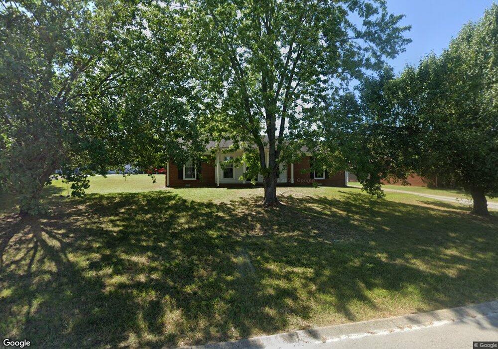
205 Westwind Dr Springfield, TN 37172
Estimated Value: $234,000 - $272,464
3
Beds
2
Baths
1,326
Sq Ft
$197/Sq Ft
Est. Value
About This Home
This home is located at 205 Westwind Dr, Springfield, TN 37172 and is currently estimated at $260,866, approximately $196 per square foot. 205 Westwind Dr is a home located in Robertson County with nearby schools including Coopertown Elementary School, Coopertown Middle School, and Springfield High School.
Ownership History
Date
Name
Owned For
Owner Type
Purchase Details
Closed on
Aug 15, 2008
Sold by
Buck John E
Bought by
Buck John E Exemption Trust
Current Estimated Value
Purchase Details
Closed on
Sep 18, 2006
Sold by
Marie Buck L
Bought by
Buck John E
Purchase Details
Closed on
Mar 31, 2003
Sold by
Jacobsen Christian R
Bought by
John Buck
Purchase Details
Closed on
Sep 3, 2002
Sold by
Celeste Salimando
Bought by
Duetsche Bank Trust
Purchase Details
Closed on
Sep 23, 1998
Sold by
John Salimando
Bought by
John Salimando
Home Financials for this Owner
Home Financials are based on the most recent Mortgage that was taken out on this home.
Original Mortgage
$81,200
Interest Rate
6.99%
Purchase Details
Closed on
Sep 14, 1993
Bought by
Chambliss Roland J and Chambliss Bill
Create a Home Valuation Report for This Property
The Home Valuation Report is an in-depth analysis detailing your home's value as well as a comparison with similar homes in the area
Home Values in the Area
Average Home Value in this Area
Purchase History
| Date | Buyer | Sale Price | Title Company |
|---|---|---|---|
| Buck John E Exemption Trust | -- | -- | |
| Buck John E | -- | -- | |
| John Buck | $72,000 | -- | |
| Jacobsen Cynthia K | $72,000 | -- | |
| Duetsche Bank Trust | $79,900 | -- | |
| John Salimando | $78,900 | -- | |
| Chambliss Roland J | -- | -- |
Source: Public Records
Mortgage History
| Date | Status | Borrower | Loan Amount |
|---|---|---|---|
| Previous Owner | Chambliss Roland J | $81,200 |
Source: Public Records
Tax History
| Year | Tax Paid | Tax Assessment Tax Assessment Total Assessment is a certain percentage of the fair market value that is determined by local assessors to be the total taxable value of land and additions on the property. | Land | Improvement |
|---|---|---|---|---|
| 2025 | -- | $50,800 | $13,750 | $37,050 |
| 2024 | -- | $50,800 | $13,750 | $37,050 |
| 2023 | $1,272 | $50,800 | $13,750 | $37,050 |
| 2022 | $1,249 | $34,250 | $6,200 | $28,050 |
| 2021 | $1,249 | $34,250 | $6,200 | $28,050 |
| 2020 | $1,249 | $34,250 | $6,200 | $28,050 |
| 2019 | $37,582 | $34,250 | $6,200 | $28,050 |
| 2018 | $1,249 | $34,250 | $6,200 | $28,050 |
| 2017 | $1,100 | $25,675 | $5,250 | $20,425 |
| 2016 | $1,100 | $25,675 | $5,250 | $20,425 |
| 2015 | $1,068 | $25,675 | $5,250 | $20,425 |
| 2014 | $1,068 | $25,675 | $5,250 | $20,425 |
Source: Public Records
Map
Nearby Homes
- 5148 Highway 49 W
- 7373 New Chapel Rd
- 2060 Beverly Ct
- 2086 Beverly Ct
- 588 19th Ave W
- 213 21st Ave W
- 2067 Bessie St
- 1421 Lawrence Ln
- 2083 Bessie St
- 2130 Bessie St
- 1 Bessie St
- 0 Bessie St
- 1511 Cheatham St
- 113 11th Ave W
- 1205 S Main St
- 1309 Batts Blvd
- 409 7th Ave W
- 702 Richard St
- 610 5th Ave W
- 301 E 22nd Ave
- 203 Westwind Dr
- 207 Westwind Dr
- 201 Westwind Dr
- 206 Westwind Dr
- 204 Westwind Dr
- 209 Westwind Dr
- 208 Westwind Dr
- 202 Westwind Dr
- 109 Westwind Dr
- 200 Valley Dr
- 107 Westwind Dr
- 210 Westwind Dr
- 200 Westwind Dr
- 212 Westwind Dr
- 105 Westwind Dr
- 2701 Westgate Dr
- 2702 Westgate Dr
- 201 Valley Dr
- 2703 Westgate Dr
- 2601 Westgate Dr
Your Personal Tour Guide
Ask me questions while you tour the home.