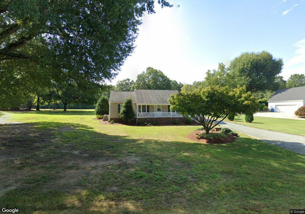
2050 Power Line Rd Elon, NC 27244
West Burlington NeighborhoodEstimated Value: $260,000 - $279,116
3
Beds
2
Baths
1,512
Sq Ft
$177/Sq Ft
Est. Value
About This Home
This home is located at 2050 Power Line Rd, Elon, NC 27244 and is currently estimated at $267,529, approximately $176 per square foot. 2050 Power Line Rd is a home located in Alamance County with nearby schools including Western Alamance Middle School, Western Alamance High School, and The Burlington School.
Ownership History
Date
Name
Owned For
Owner Type
Purchase Details
Closed on
Sep 17, 2001
Sold by
Bodsford Carl F
Bought by
Williams Michael C
Current Estimated Value
Home Financials for this Owner
Home Financials are based on the most recent Mortgage that was taken out on this home.
Original Mortgage
$104,500
Outstanding Balance
$40,690
Interest Rate
6.97%
Estimated Equity
$226,839
Create a Home Valuation Report for This Property
The Home Valuation Report is an in-depth analysis detailing your home's value as well as a comparison with similar homes in the area
Home Values in the Area
Average Home Value in this Area
Purchase History
| Date | Buyer | Sale Price | Title Company |
|---|---|---|---|
| Williams Michael C | $110,000 | -- |
Source: Public Records
Mortgage History
| Date | Status | Borrower | Loan Amount |
|---|---|---|---|
| Open | Williams Michael C | $104,500 |
Source: Public Records
Tax History
| Year | Tax Paid | Tax Assessment Tax Assessment Total Assessment is a certain percentage of the fair market value that is determined by local assessors to be the total taxable value of land and additions on the property. | Land | Improvement |
|---|---|---|---|---|
| 2025 | $1,362 | $229,316 | $34,750 | $194,566 |
| 2024 | $1,274 | $229,316 | $34,750 | $194,566 |
| 2023 | $1,183 | $229,316 | $34,750 | $194,566 |
| 2022 | $986 | $128,682 | $30,480 | $98,202 |
| 2021 | $999 | $128,682 | $30,480 | $98,202 |
| 2020 | $1,012 | $128,682 | $30,480 | $98,202 |
| 2019 | $1,004 | $128,682 | $30,480 | $98,202 |
| 2018 | $0 | $128,682 | $30,480 | $98,202 |
| 2017 | $888 | $128,682 | $30,480 | $98,202 |
| 2016 | $859 | $124,456 | $30,480 | $93,976 |
| 2015 | $854 | $124,456 | $30,480 | $93,976 |
| 2014 | -- | $124,456 | $30,480 | $93,976 |
Source: Public Records
Map
Nearby Homes
- 0 Spanish Oak Rd
- 737 Spanish Oak Rd
- 805 E Haggard Ave
- 1735 Prince Edward Dr
- 302 Campus Walk Trail Unit 300
- 1685 Power Line Rd
- 236 Colonnade Dr
- 149 Martin St
- 2491 Orchid Dr
- 1874 Stratford Rd
- 2113 Scallans Ln
- 111 Truitt Dr
- 324 Olsen Dr
- 1018 Elon Ossipee Rd
- 6 Willow Oak
- 1818 Wellington Rd
- 2537 Macleod St
- 2265 W Front St
- 122 S School St
- 3025 N Fairway Dr
- 2040 Power Line Rd
- 2066 Power Line Rd
- 2026 Power Line Rd
- 2023 Power Line Rd
- 2008 Power Line Rd
- 2009 Power Line Rd
- 1976 Power Line Rd
- 1974 Power Line Rd
- 1962 Power Line Rd
- 1954 Power Line Rd
- 2725 N Carolina 100
- 2704 N Carolina 100
- 632 Walker Rd
- 629 Walker Rd
- 1961B Power Line Rd
- 1961B Power Line Rd
- 1920 Power Line Rd
- 641 Walker Rd
- 2034 Gerringer Rd
- 1982 Gerringer Rd
Your Personal Tour Guide
Ask me questions while you tour the home.