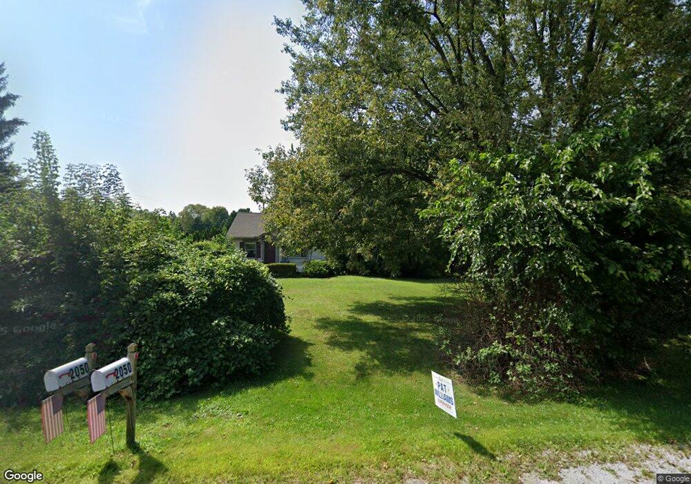
2050 S Lilley Rd Canton, MI 48188
Estimated Value: $250,195 - $524,000
Studio
1
Bath
1,512
Sq Ft
$231/Sq Ft
Est. Value
About This Home
This home is located at 2050 S Lilley Rd, Canton, MI 48188 and is currently estimated at $349,799, approximately $231 per square foot. 2050 S Lilley Rd is a home located in Wayne County with nearby schools including Canton High School, Salem High School, and Plymouth High School.
Ownership History
Date
Name
Owned For
Owner Type
Purchase Details
Closed on
Jul 13, 2024
Sold by
Altman Allen R and Altman Diane Marie
Bought by
Allen And Diane Altman Trust and Altman
Current Estimated Value
Purchase Details
Closed on
Nov 12, 2021
Sold by
Altman Allen R
Bought by
Altman Allen R and Altman Diane Marie
Purchase Details
Closed on
Aug 28, 1996
Sold by
Harmony Home Builders In
Bought by
Trimount Woodwind Estate Dev
Purchase Details
Closed on
Aug 16, 1996
Sold by
Harmoney Homebuilders In
Bought by
Butzin Dale C and Butzin Linda K
Create a Home Valuation Report for This Property
The Home Valuation Report is an in-depth analysis detailing your home's value as well as a comparison with similar homes in the area
Home Values in the Area
Average Home Value in this Area
Purchase History
| Date | Buyer | Sale Price | Title Company |
|---|---|---|---|
| Allen And Diane Altman Trust | -- | None Listed On Document | |
| Altman Allen R | -- | None Listed On Document | |
| Trimount Woodwind Estate Dev | $58,728 | -- | |
| Butzin Dale C | $140,000 | -- |
Source: Public Records
Tax History
| Year | Tax Paid | Tax Assessment Tax Assessment Total Assessment is a certain percentage of the fair market value that is determined by local assessors to be the total taxable value of land and additions on the property. | Land | Improvement |
|---|---|---|---|---|
| 2025 | $1,026 | $96,900 | $0 | $0 |
| 2024 | $997 | $93,200 | $0 | $0 |
| 2023 | $950 | $83,400 | $0 | $0 |
| 2022 | $2,175 | $74,000 | $0 | $0 |
| 2021 | $2,112 | $75,100 | $0 | $0 |
| 2020 | $2,081 | $67,000 | $0 | $0 |
| 2019 | $2,045 | $62,630 | $0 | $0 |
| 2018 | $808 | $53,350 | $0 | $0 |
| 2017 | $2,171 | $53,600 | $0 | $0 |
| 2016 | $1,877 | $52,400 | $0 | $0 |
| 2015 | $4,438 | $47,270 | $0 | $0 |
| 2013 | $4,300 | $46,220 | $0 | $0 |
| 2010 | -- | $44,930 | $40,824 | $4,106 |
Source: Public Records
Map
Nearby Homes
- 42859 Palmer Rd
- 1530 Fairfax Dr
- 1878 Otter Pond Ln
- 1402 Heritage Dr
- 1861 N Arbor Way Dr Unit 26
- 2131 Vine Way Dr Unit 97
- 43486 Fredericksburg St
- 41925 South Dr
- 1632 Bennington Ct Unit 1632
- 43662 Amber Ct
- 41878 Woodbrook Dr
- 43674 Christopher Ct
- 2328 Amber Dr
- 43552 Karli Ln
- 41777 Princess Dr
- 2428 Cabot St
- 802 Cherry Stone Dr
- 2087 Arcadia Dr Unit 65
- 2393 Arcadia Dr
- 43761 Yorktown St
- 42268 Woodwind Ln
- 42304 Woodwind Ln
- 2113 Woodwind Ct
- 2037 S Lilley Rd
- 2006 S Lilley Rd
- 2137 Woodwind Ct
- 2161 Woodwind Ct
- 42267 Woodwind Ln
- 42303 Woodwind Ln
- 42166 Echo Forest Dr
- 42339 Woodwind Ln
- 2114 Woodwind Ct
- 2138 Woodwind Ct
- 2162 Woodwind Ct
- 42150 Echo Forest Dr
- 42375 Woodwind Ln
- 42136 Echo Forest Dr
- 42411 Woodwind Ln
- 42484 Woodwind Ln
- 42215 Palmer Rd
Your Personal Tour Guide
Ask me questions while you tour the home.