2050 Sharp Ct Placerville, CA 95667
Estimated Value: $322,000 - $496,000
3
Beds
2
Baths
1,144
Sq Ft
$372/Sq Ft
Est. Value
About This Home
This home is located at 2050 Sharp Ct, Placerville, CA 95667 and is currently estimated at $425,150, approximately $371 per square foot. 2050 Sharp Ct is a home located in El Dorado County with nearby schools including Herbert C. Green Middle School, Indian Creek Elementary School, and Union Mine High School.
Ownership History
Date
Name
Owned For
Owner Type
Purchase Details
Closed on
Jul 14, 2009
Sold by
Starr Linda Lea and Adams Donna Jean
Bought by
Starr Linda Lea
Current Estimated Value
Home Financials for this Owner
Home Financials are based on the most recent Mortgage that was taken out on this home.
Original Mortgage
$120,000
Outstanding Balance
$79,426
Interest Rate
5.59%
Mortgage Type
Stand Alone Refi Refinance Of Original Loan
Estimated Equity
$345,724
Purchase Details
Closed on
Jun 2, 1994
Sold by
Wiles Glen A and Wiles Alma F
Bought by
Wiles Glen A and Wiles Alma F
Create a Home Valuation Report for This Property
The Home Valuation Report is an in-depth analysis detailing your home's value as well as a comparison with similar homes in the area
Home Values in the Area
Average Home Value in this Area
Purchase History
| Date | Buyer | Sale Price | Title Company |
|---|---|---|---|
| Starr Linda Lea | -- | Placer Title Company | |
| Wiles Glen A | -- | First American Title Co |
Source: Public Records
Mortgage History
| Date | Status | Borrower | Loan Amount |
|---|---|---|---|
| Open | Starr Linda Lea | $120,000 |
Source: Public Records
Tax History
| Year | Tax Paid | Tax Assessment Tax Assessment Total Assessment is a certain percentage of the fair market value that is determined by local assessors to be the total taxable value of land and additions on the property. | Land | Improvement |
|---|---|---|---|---|
| 2025 | $1,864 | $176,351 | $56,276 | $120,075 |
| 2024 | $1,864 | $172,894 | $55,173 | $117,721 |
| 2023 | $1,810 | $169,505 | $54,092 | $115,413 |
| 2022 | $1,801 | $166,182 | $53,032 | $113,150 |
| 2021 | $1,777 | $162,925 | $51,993 | $110,932 |
| 2020 | $1,753 | $161,255 | $51,460 | $109,795 |
| 2019 | $1,726 | $158,094 | $50,451 | $107,643 |
| 2018 | $1,679 | $154,995 | $49,462 | $105,533 |
| 2017 | $1,634 | $151,957 | $48,493 | $103,464 |
| 2016 | $1,615 | $148,979 | $47,543 | $101,436 |
| 2015 | $1,533 | $146,743 | $46,830 | $99,913 |
| 2014 | $1,533 | $143,869 | $45,913 | $97,956 |
Source: Public Records
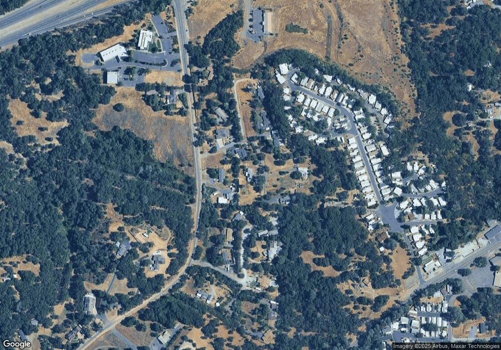
Map
Nearby Homes
- 4117 El Dorado Rd
- 6387 Mother Lode Dr Unit 71
- 6387 Mother Lode Dr Unit 115
- 6371 Mother Lode Dr
- 6433 Mother Lode Dr
- 4111 Badger Ln
- 6300 Longview Dr
- 6540 Serendipity Ln
- 0 Echo Ln Unit 226012331
- 3904 Sunshine Ct
- 4627 El Dorado Rd
- 3885 Rosey Way
- 4073 El Dorado Rd
- 3390 Morel Way
- 4062 Clear Ct
- 3695 Missouri Flat Rd
- 4160 Oro Ln Unit 7
- 6069 Pleasant Valley Rd
- 4420 Pleasant Valley Rd Unit 155
- 4420 Pleasant Valley Rd Unit 105
- 4105 El Dorado Rd
- 4260 Durado Ct
- 4260 Dorado Ct
- 2055 Sharp Ct
- 2061 Sharp Ct
- 6425 Sharp Ln
- 4241 Dorado Ct
- 6441 Sharp Ln
- 4241 Durado Ct
- 4085 El Dorado Rd
- 4230 Durado Ct
- 4231 Durado Ct
- 4220 Durado Ct
- 4136 El Dorado Rd
- 0 El Dorado Rd
- 6387 Mother Lode Dr Unit 69
- 6387 Mother Lode Dr Unit 50
- 6387 Mother Lode Dr Unit 24
- 6387 Mother Lode Dr Unit 80
- 6387 Mother Lode Dr Unit 20
Your Personal Tour Guide
Ask me questions while you tour the home.