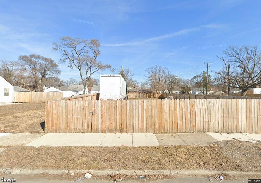
20500 Moenart St Detroit, MI 48234
Farwell NeighborhoodEstimated Value: $66,000 - $107,000
3
Beds
1
Bath
770
Sq Ft
$109/Sq Ft
Est. Value
About This Home
This home is located at 20500 Moenart St, Detroit, MI 48234 and is currently estimated at $83,627, approximately $108 per square foot. 20500 Moenart St is a home located in Wayne County with nearby schools including Mason Academy, Edward 'Duke' Ellington Conservatory of Music and Art, and Charles L. Spain Elementary-Middle School.
Ownership History
Date
Name
Owned For
Owner Type
Purchase Details
Closed on
Dec 16, 2023
Sold by
Detroit Land Bank Authority
Bought by
Morris Raphael
Current Estimated Value
Purchase Details
Closed on
Jun 8, 2016
Sold by
Woodlawn Properties Inc
Bought by
The Detroit Land Bank Authority
Purchase Details
Closed on
Nov 16, 2012
Sold by
Wayne County Treasurer
Bought by
Woodlawn Properties Inc
Purchase Details
Closed on
Feb 12, 2007
Sold by
King Gail and Hawkins Gail E
Bought by
Woods Kejaein
Create a Home Valuation Report for This Property
The Home Valuation Report is an in-depth analysis detailing your home's value as well as a comparison with similar homes in the area
Home Values in the Area
Average Home Value in this Area
Purchase History
| Date | Buyer | Sale Price | Title Company |
|---|---|---|---|
| Morris Raphael | -- | None Listed On Document | |
| Morris Raphael | -- | None Listed On Document | |
| The Detroit Land Bank Authority | $500 | None Available | |
| Woodlawn Properties Inc | $500 | None Available | |
| Woods Kejaein | $56,000 | Multiple |
Source: Public Records
Tax History Compared to Growth
Tax History
| Year | Tax Paid | Tax Assessment Tax Assessment Total Assessment is a certain percentage of the fair market value that is determined by local assessors to be the total taxable value of land and additions on the property. | Land | Improvement |
|---|---|---|---|---|
| 2025 | -- | $1,100 | $0 | $0 |
| 2024 | $521 | $3,600 | $0 | $0 |
| 2023 | $0 | $0 | $0 | $0 |
| 2022 | -- | $0 | $0 | $0 |
| 2021 | $0 | $0 | $0 | $0 |
| 2020 | $1,384 | $0 | $0 | $0 |
| 2019 | $1,384 | $0 | $0 | $0 |
| 2018 | $0 | $0 | $0 | $0 |
| 2017 | $800 | $0 | $0 | $0 |
| 2016 | $952 | $8,800 | $0 | $0 |
| 2015 | $940 | $9,400 | $0 | $0 |
| 2013 | $1,168 | $11,681 | $0 | $0 |
| 2010 | -- | $17,127 | $1,016 | $16,111 |
Source: Public Records
Map
Nearby Homes
- 20253 Moenart St
- 20511 Caldwell St
- 20059 Bloom St
- 20258 Caldwell St
- 20057 Keystone St
- 20200 Caldwell St
- 19948 Moenart St
- 20818 Atlantic Ave
- 20821 Blackmar Ave
- 19931 Keystone St
- 3191 E Outer Dr
- 21034 Atlantic Ave
- 21029 Blackmar Ave
- 3040 E Outer Dr
- 21139 Curie Ave
- 21222 Audrey Ave
- 21115 Albany Ave
- 19696 Healy St
- 19608 Buffalo St
- 21441 Atlantic Ave
- 20510 Moenart St
- 20520 Moenart St
- 20525 Bloom St
- 20316 Moenart St
- 20501 Bloom St
- 20517 Bloom St
- 20530 Moenart St
- 20306 Moenart St
- 20501 Moenart St
- 20315 Bloom St
- 20515 Moenart St
- 20540 Moenart St
- 20525 Moenart St
- 20531 Bloom St
- 20305 Bloom St
- 20313 Moenart St
- 20539 Bloom St
- 20303 Moenart St
- 20297 Bloom St
- 20550 Moenart St
