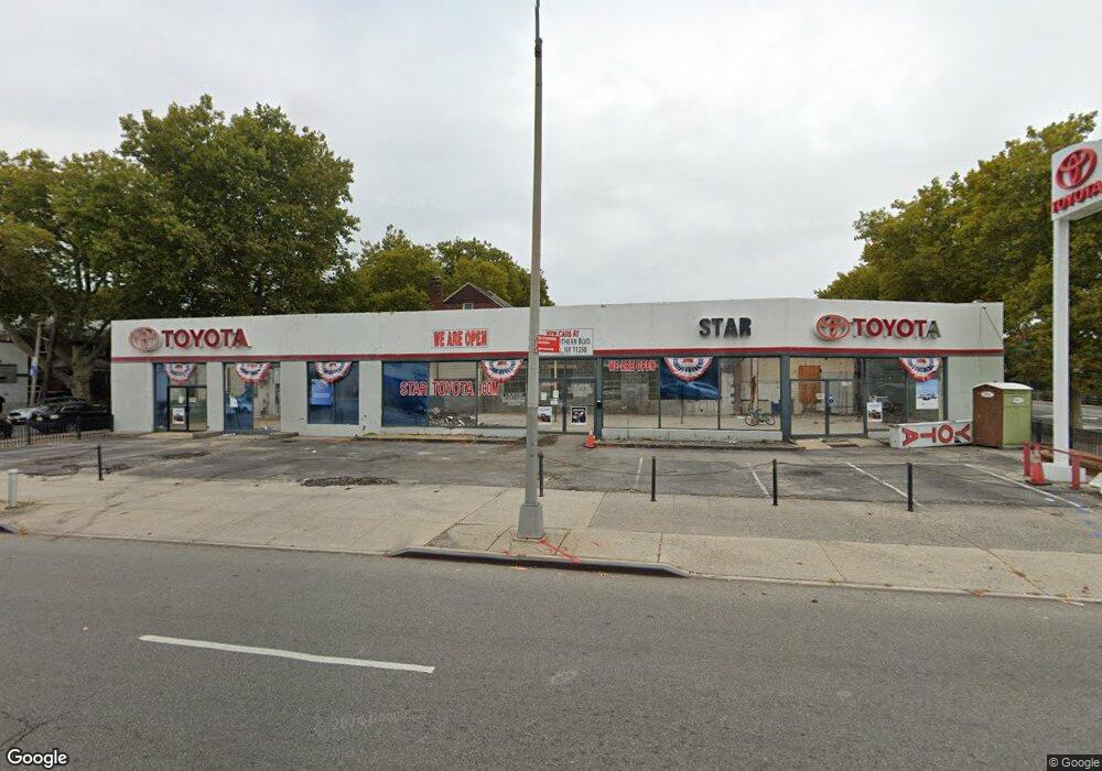
20501 Northern Blvd Flushing, NY 11361
Auburndale NeighborhoodEstimated Value: $9,536,040
--
Bed
--
Bath
8,370
Sq Ft
$1,139/Sq Ft
Est. Value
About This Home
This home is located at 20501 Northern Blvd, Flushing, NY 11361 and is currently estimated at $9,536,040, approximately $1,139 per square foot. 20501 Northern Blvd is a home located in Queens County with nearby schools including P.S. 31 - Bayside, I.S. 25 Adrien Block, and Francis Lewis High School.
Ownership History
Date
Name
Owned For
Owner Type
Purchase Details
Closed on
Nov 23, 2010
Sold by
The Evelyn Dibenedetto Family Partnershi
Bought by
205-11 Northern Boulevard Llc
Current Estimated Value
Purchase Details
Closed on
Dec 23, 1996
Sold by
Dibenedetto Evelyn
Bought by
Evelyn Di Benedetto Family Partnership L
Create a Home Valuation Report for This Property
The Home Valuation Report is an in-depth analysis detailing your home's value as well as a comparison with similar homes in the area
Home Values in the Area
Average Home Value in this Area
Purchase History
| Date | Buyer | Sale Price | Title Company |
|---|---|---|---|
| 205-11 Northern Boulevard Llc | $5,300,000 | -- | |
| 205-11 Northern Boulevard Llc | $5,300,000 | -- | |
| Evelyn Di Benedetto Family Partnership L | -- | First American Title Ins Co | |
| Evelyn Di Benedetto Family Partnership L | -- | First American Title Ins Co |
Source: Public Records
Tax History Compared to Growth
Tax History
| Year | Tax Paid | Tax Assessment Tax Assessment Total Assessment is a certain percentage of the fair market value that is determined by local assessors to be the total taxable value of land and additions on the property. | Land | Improvement |
|---|---|---|---|---|
| 2025 | $159,273 | $1,578,270 | $545,400 | $1,032,870 |
| 2024 | $157,060 | $1,503,710 | $509,040 | $994,670 |
| 2023 | $150,071 | $1,409,650 | $472,680 | $936,970 |
| 2022 | $74,149 | $1,513,350 | $545,400 | $967,950 |
| 2021 | $147,898 | $1,430,100 | $545,400 | $884,700 |
| 2020 | $146,155 | $1,430,100 | $363,600 | $1,066,500 |
| 2019 | $142,360 | $1,354,000 | $363,600 | $990,400 |
| 2018 | $142,687 | $1,357,110 | $363,600 | $993,510 |
| 2017 | $136,148 | $1,294,920 | $363,600 | $931,320 |
| 2016 | $130,301 | $1,294,920 | $363,600 | $931,320 |
| 2015 | $48,379 | $1,179,180 | $363,600 | $815,580 |
| 2014 | $48,379 | $1,082,520 | $363,600 | $718,920 |
Source: Public Records
Map
Nearby Homes
- 43-19 205th St
- 43-24 208th St
- 42-32 204th St
- 4215 204th St
- 206-16 45th Rd
- 206-18 45th Rd
- 202-30 45th Rd
- 204-06 42nd Ave
- 4304 209th St
- 206-38 45th Rd
- 20222 45th Dr
- 202-04 45th Dr
- 4607 204th St
- 200-29 45th Rd
- 40-40 203rd St Unit 12B
- 204-19 46th Rd
- 206-50 46th Ave
- 40- 41 202nd St
- 42-36 201st St
- 46-27 206th St
- 43-15 205th St
- 4315 205th St
- 4313 205th St
- 43-11 205th St
- 4311 205th St
- 4319 205th St
- 20514 43rd Ave
- 4323 205th St
- 20510 43rd Ave
- 205-10 43rd Ave
- 205-10 43rd Ave Unit 162
- 20510 43rd Ave Unit 1Fl
- 205-14 43rd Ave
- 20504 43rd Ave
- 4316 205th St
- 4312 205th St
- 4320 205th St
- 43-20 205th St Unit 2 Fl
- 43-20 205th St Unit 2
- 43-20 205th St