2051 185th St Decorah, IA 52101
Estimated Value: $149,823 - $276,000
--
Bed
2
Baths
--
Sq Ft
9
Acres
About This Home
This home is located at 2051 185th St, Decorah, IA 52101 and is currently estimated at $198,608. 2051 185th St is a home located in Winneshiek County with nearby schools including South Winneshiek Elementary School, South Winneshiek Middle School, and South Winneshiek High School.
Ownership History
Date
Name
Owned For
Owner Type
Purchase Details
Closed on
Jul 8, 2025
Sold by
Willingham Guy and Willingham Patricia Ann
Bought by
Hogenson Dale A and Hogenson Victoria
Current Estimated Value
Home Financials for this Owner
Home Financials are based on the most recent Mortgage that was taken out on this home.
Original Mortgage
$177,681
Outstanding Balance
$177,382
Interest Rate
6.89%
Mortgage Type
Credit Line Revolving
Estimated Equity
$21,226
Purchase Details
Closed on
Sep 25, 2024
Sold by
Willingham Inez
Bought by
Willingham Guy
Create a Home Valuation Report for This Property
The Home Valuation Report is an in-depth analysis detailing your home's value as well as a comparison with similar homes in the area
Home Values in the Area
Average Home Value in this Area
Purchase History
| Date | Buyer | Sale Price | Title Company |
|---|---|---|---|
| Hogenson Dale A | $175,000 | None Listed On Document | |
| Willingham Guy | -- | None Listed On Document |
Source: Public Records
Mortgage History
| Date | Status | Borrower | Loan Amount |
|---|---|---|---|
| Open | Hogenson Dale A | $177,681 |
Source: Public Records
Tax History Compared to Growth
Tax History
| Year | Tax Paid | Tax Assessment Tax Assessment Total Assessment is a certain percentage of the fair market value that is determined by local assessors to be the total taxable value of land and additions on the property. | Land | Improvement |
|---|---|---|---|---|
| 2025 | $80 | $15,260 | $10,500 | $4,760 |
| 2024 | $80 | $12,460 | $7,760 | $4,700 |
| 2023 | $1,660 | $77,980 | $7,760 | $70,220 |
| 2022 | $1,542 | $128,140 | $6,190 | $121,950 |
| 2021 | $1,460 | $122,130 | $6,190 | $115,940 |
| 2020 | $1,460 | $113,070 | $6,400 | $106,670 |
| 2019 | $1,466 | $117,450 | $0 | $0 |
| 2018 | $1,416 | $117,450 | $0 | $0 |
| 2017 | $1,264 | $104,380 | $0 | $0 |
| 2016 | $1,208 | $104,380 | $0 | $0 |
| 2015 | $1,238 | $106,770 | $0 | $0 |
| 2014 | $1,210 | $106,770 | $0 | $0 |
Source: Public Records
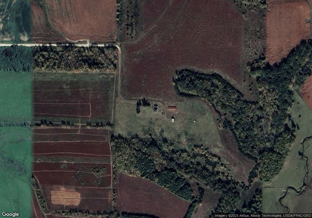
Map
Nearby Homes
- 0 County Road W42
- 0 Lake Ridge Rd
- 204 Railroad St
- 203 N Iowa St
- 302 E Main St
- 201 N Melden St
- 206 E Clark St
- 407 W North St
- 302 S West St
- 211 Fisher Ave
- 1500 Division St
- 1004 Shagbark Rd
- 0 Shagbark Lane Rd
- 1625 Hickory Hill Rd
- 1306 Skyline Dr
- 2354 Shagbark Lane Rd
- 0 Shagbark Ln Rd Unit NBR20250458
- 0 Shagbark Ln Rd Unit NBR20250457
- 2361 Allan Drive Rd
- 2362 Woodridge Rd