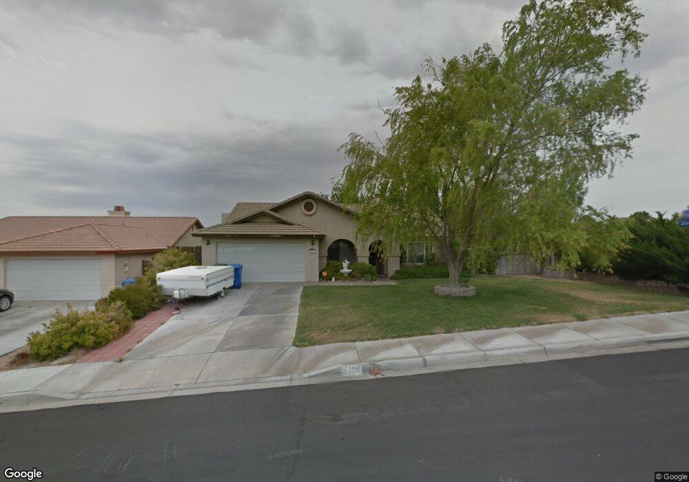
2051 Lovato Ave Barstow, CA 92311
Estimated Value: $336,580 - $381,000
3
Beds
2
Baths
1,562
Sq Ft
$230/Sq Ft
Est. Value
About This Home
This home is located at 2051 Lovato Ave, Barstow, CA 92311 and is currently estimated at $359,645, approximately $230 per square foot. 2051 Lovato Ave is a home located in San Bernardino County with nearby schools including Henderson Elementary School, Barstow Junior High School, and Barstow High School.
Ownership History
Date
Name
Owned For
Owner Type
Purchase Details
Closed on
Mar 12, 2002
Sold by
Rotte Richard A and Rotte Deborah J
Bought by
Peterson Kevin J and Peterson Paula J
Current Estimated Value
Home Financials for this Owner
Home Financials are based on the most recent Mortgage that was taken out on this home.
Original Mortgage
$139,094
Interest Rate
6.83%
Mortgage Type
VA
Create a Home Valuation Report for This Property
The Home Valuation Report is an in-depth analysis detailing your home's value as well as a comparison with similar homes in the area
Home Values in the Area
Average Home Value in this Area
Purchase History
| Date | Buyer | Sale Price | Title Company |
|---|---|---|---|
| Peterson Kevin J | $137,500 | Stewart Title |
Source: Public Records
Mortgage History
| Date | Status | Borrower | Loan Amount |
|---|---|---|---|
| Previous Owner | Peterson Kevin J | $139,094 |
Source: Public Records
Tax History
| Year | Tax Paid | Tax Assessment Tax Assessment Total Assessment is a certain percentage of the fair market value that is determined by local assessors to be the total taxable value of land and additions on the property. | Land | Improvement |
|---|---|---|---|---|
| 2025 | $2,264 | $203,131 | $36,565 | $166,566 |
| 2024 | $2,224 | $199,148 | $35,848 | $163,300 |
| 2023 | $2,175 | $195,243 | $35,145 | $160,098 |
| 2022 | $2,165 | $191,415 | $34,456 | $156,959 |
| 2021 | $2,102 | $187,661 | $33,780 | $153,881 |
| 2020 | $2,105 | $185,737 | $33,434 | $152,303 |
| 2019 | $1,994 | $182,095 | $32,778 | $149,317 |
| 2018 | $2,091 | $178,524 | $32,135 | $146,389 |
| 2017 | $1,892 | $175,024 | $31,505 | $143,519 |
| 2016 | $1,868 | $171,592 | $30,887 | $140,705 |
| 2015 | $1,827 | $169,014 | $30,423 | $138,591 |
| 2014 | $1,814 | $165,703 | $29,827 | $135,876 |
Source: Public Records
Map
Nearby Homes
- 0 Emerald St
- 0 Garnet Ave Unit HD22173156
- 2220 Garnet Ave
- 2065 Barcelona Cir
- 2050 Dartmouth Ct
- 19 D St
- 20 Rimrock Rd
- 1230 Prairie Dr
- 28280 Cochise Ave
- N 1/2NW 1/4NW 1 N 1 2nw 1 4nw 1 4 Sw 1 4 Ne1 4 Section 12 Tp 9n R Unit lot
- 0 Off Highway 58
- 28283 Windy Pass
- 11 Off of the 247
- 351 Armory Rd
- 0 2nd St
- 1330 Astral Dr
- 1061 May Ln
- 541 Windy Pass
- 581 Starlight St
- 1131 Barstow Rd
- 2041 Lovato Ave
- 0 Silverado St
- 2050 Nelson Ave
- 2040 Nelson Ave
- 2031 Lovato Ave
- 461 Silverado St
- 451 Silverado St
- 2040 Lovato Ave
- 471 Silverado St
- 441 Silverado St
- 481 Silverado St
- 2020 Nelson Ave
- 2030 Lovato Ave
- 31980 Nelson Ave
- 431 Silverado St
- 2011 Lovato Ave
- 2020 Lovato Ave
- 2010 Nelson Ave
- 470 Emerald St
Your Personal Tour Guide
Ask me questions while you tour the home.