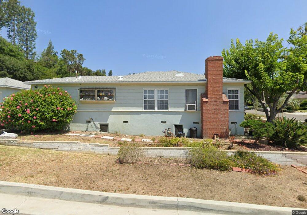
2051 Maycrest Ave South Pasadena, CA 91030
Estimated Value: $930,674 - $1,780,000
3
Beds
2
Baths
1,167
Sq Ft
$1,189/Sq Ft
Est. Value
About This Home
This home is located at 2051 Maycrest Ave, South Pasadena, CA 91030 and is currently estimated at $1,387,669, approximately $1,189 per square foot. 2051 Maycrest Ave is a home located in Los Angeles County with nearby schools including Monterey Hills Elementary, South Pasadena Middle School, and South Pasadena High School.
Ownership History
Date
Name
Owned For
Owner Type
Purchase Details
Closed on
Sep 26, 1995
Sold by
Chung Choon S and Chung Yang S
Bought by
Simoneit Kenneth J and Simoneit Irma R
Current Estimated Value
Home Financials for this Owner
Home Financials are based on the most recent Mortgage that was taken out on this home.
Original Mortgage
$157,500
Outstanding Balance
$1,107
Interest Rate
7.62%
Estimated Equity
$1,386,562
Create a Home Valuation Report for This Property
The Home Valuation Report is an in-depth analysis detailing your home's value as well as a comparison with similar homes in the area
Home Values in the Area
Average Home Value in this Area
Purchase History
| Date | Buyer | Sale Price | Title Company |
|---|---|---|---|
| Simoneit Kenneth J | $175,000 | Southland Title |
Source: Public Records
Mortgage History
| Date | Status | Borrower | Loan Amount |
|---|---|---|---|
| Open | Simoneit Kenneth J | $157,500 |
Source: Public Records
Tax History Compared to Growth
Tax History
| Year | Tax Paid | Tax Assessment Tax Assessment Total Assessment is a certain percentage of the fair market value that is determined by local assessors to be the total taxable value of land and additions on the property. | Land | Improvement |
|---|---|---|---|---|
| 2025 | $4,296 | $290,689 | $174,416 | $116,273 |
| 2024 | $4,296 | $284,991 | $170,997 | $113,994 |
| 2023 | $4,207 | $279,404 | $167,645 | $111,759 |
| 2022 | $4,113 | $273,926 | $164,358 | $109,568 |
| 2021 | $4,035 | $268,556 | $161,136 | $107,420 |
| 2019 | $3,914 | $260,592 | $156,357 | $104,235 |
| 2018 | $3,740 | $255,484 | $153,292 | $102,192 |
| 2016 | $3,481 | $245,566 | $147,341 | $98,225 |
| 2015 | $3,426 | $241,878 | $145,128 | $96,750 |
| 2014 | $3,393 | $237,141 | $142,286 | $94,855 |
Source: Public Records
Map
Nearby Homes
- 4536 Maycrest Ave
- 4343 Stillwell Ave
- 5262 Remstoy Dr
- 5219 Lathrop St
- 431 La Terraza St
- 4200 Barrett Rd
- 5155 Henderson St
- 2616 W Grand Ave Unit C
- 5390 Huntington Dr S
- 2620 W Grand Ave Unit E
- 838 Braewood Ct
- 1218 Pine St
- 1257 Huntington Dr Unit A
- 3949 Stockbridge Ave
- 5301 Huntington Dr N
- 868 Braewood Ct
- 5148 Wadena St
- 1515 Indiana Ave
- 801 Rollin St
- 3908 Edison Walk
- 2045 Maycrest Ave
- 0 Moffatt Unit M11004039
- 0 Moffatt Unit M11004035
- 0 Moffatt Unit M11003570
- 0 Moffatt Unit M11035612
- 0 Moffatt Unit M11035583
- 0 Moffat Unit 11-527285
- 0 Moffatt Unit 17-240874
- 2041 Maycrest Ave
- 4543 Maycrest Ave
- 2037 Maycrest Ave
- 2046 La Fremontia St
- 4539 Maycrest Ave
- 4519 Lowell Ave
- 2033 Maycrest Ave
- 4533 Maycrest Ave
- 4512 Lowell Ave
- 2048 Maycrest Ave
- 2044 Maycrest Ave
- 2040 La Fremontia St