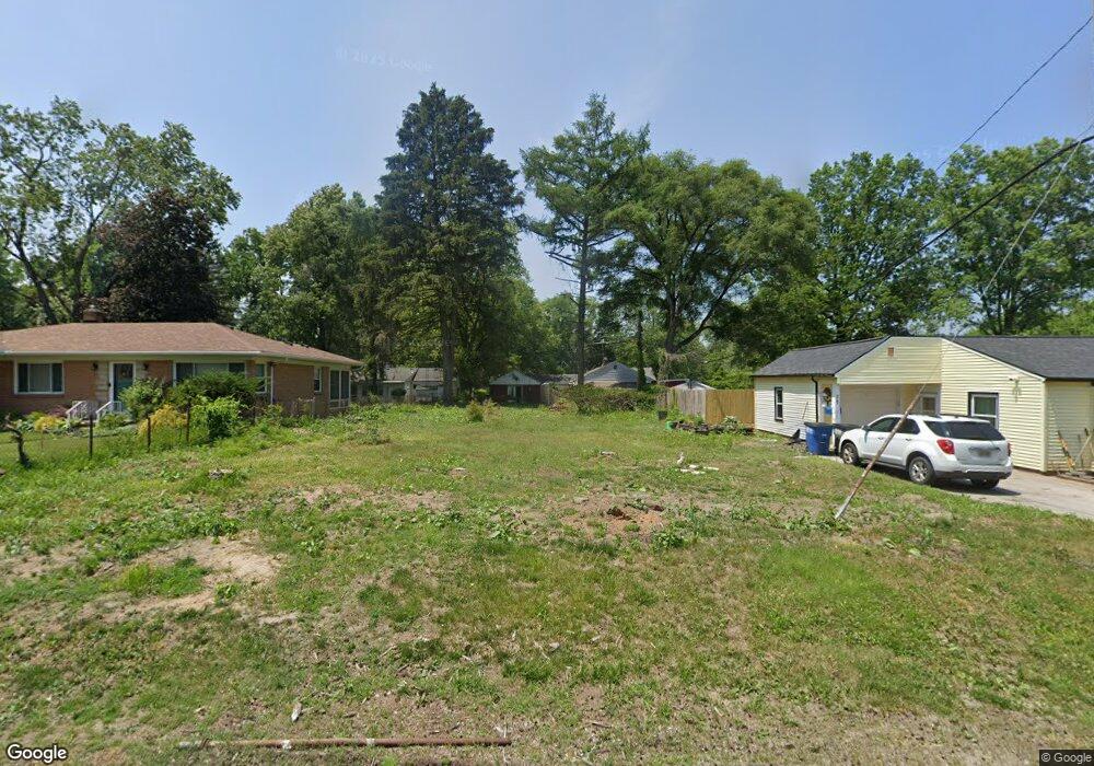
2051 Pautucket Rd Toledo, OH 43615
Reynolds Corners NeighborhoodEstimated Value: $123,000 - $351,763
--
Bed
--
Bath
--
Sq Ft
8,102
Sq Ft Lot
About This Home
This home is located at 2051 Pautucket Rd, Toledo, OH 43615 and is currently estimated at $252,191. 2051 Pautucket Rd is a home located in Lucas County with nearby schools including Hawkins Elementary School, Rogers High School, and St. Benedict Catholic School.
Ownership History
Date
Name
Owned For
Owner Type
Purchase Details
Closed on
Nov 14, 2025
Sold by
Schomburg Patrick and Schomburg Michelle
Bought by
Erwin Michael and Burke Shequila
Current Estimated Value
Home Financials for this Owner
Home Financials are based on the most recent Mortgage that was taken out on this home.
Original Mortgage
$180,667
Outstanding Balance
$180,494
Interest Rate
6.19%
Mortgage Type
FHA
Estimated Equity
$71,697
Purchase Details
Closed on
Oct 19, 2016
Sold by
Atassi Gina
Bought by
Gretar Metropolitan Title Inc
Purchase Details
Closed on
Jun 28, 1996
Sold by
Fisher Julie A
Bought by
Atassi Gina M
Home Financials for this Owner
Home Financials are based on the most recent Mortgage that was taken out on this home.
Original Mortgage
$89,831
Interest Rate
8.13%
Mortgage Type
New Conventional
Purchase Details
Closed on
Oct 29, 1990
Sold by
Mager Anne Marie
Create a Home Valuation Report for This Property
The Home Valuation Report is an in-depth analysis detailing your home's value as well as a comparison with similar homes in the area
Home Values in the Area
Average Home Value in this Area
Purchase History
| Date | Buyer | Sale Price | Title Company |
|---|---|---|---|
| Gretar Metropolitan Title Inc | -- | None Available | |
| Atassi Gina M | $90,000 | -- | |
| -- | -- | -- |
Source: Public Records
Mortgage History
| Date | Status | Borrower | Loan Amount |
|---|---|---|---|
| Previous Owner | Atassi Gina M | $89,831 |
Source: Public Records
Tax History Compared to Growth
Tax History
| Year | Tax Paid | Tax Assessment Tax Assessment Total Assessment is a certain percentage of the fair market value that is determined by local assessors to be the total taxable value of land and additions on the property. | Land | Improvement |
|---|---|---|---|---|
| 2024 | $293 | $6,545 | $6,545 | -- |
| 2023 | $510 | $5,075 | $5,075 | $0 |
| 2022 | $500 | $5,075 | $5,075 | $0 |
| 2021 | $513 | $5,075 | $5,075 | $0 |
| 2020 | $529 | $4,200 | $4,200 | $0 |
| 2019 | $495 | $4,200 | $4,200 | $0 |
| 2018 | $513 | $4,200 | $4,200 | $0 |
| 2017 | $457 | $3,850 | $3,850 | $0 |
| 2016 | $493 | $11,000 | $11,000 | $0 |
| 2015 | $523 | $11,000 | $11,000 | $0 |
| 2014 | $249 | $3,850 | $3,850 | $0 |
| 2013 | $249 | $3,850 | $3,850 | $0 |
Source: Public Records
Map
Nearby Homes
- 2026 Pautucket Rd
- 4709 W Bancroft St
- 4515 W Bancroft St
- 4519 W Bancroft St
- 2009 Garden Ln
- 4236 S Terrace View St
- 2222 Talmadge Rd
- 4057 Hillandale Rd
- 2130 Richards Rd
- 5051 Wissman Rd
- 801 Hilltop Ln
- 5041 Ancil Rd
- 3925 Hillandale Rd
- 5331 Fleet Rd
- 5057 Brandon Rd
- 2720 Derby Rd
- 710 Hilltop Ln
- 5029 Kellogg Rd
- 4028 Brookside Rd
- 3765 Brookside Rd
- 2045 Pautucket Rd
- 4713 Paisley Rd
- 2039 Pautucket Rd
- 4729 Paisley Rd
- 2046 Penn Rd
- 4657 Paisley Rd
- 2040 Penn Rd
- 2046 Pautucket Rd
- 2033 Pautucket Rd
- 2036 Pautucket Rd
- 2029 Pautucket Rd
- 2034 Penn Rd
- 2021 Pautucket Rd
- 4625 Paisley Rd
- 2053 Penn Rd
- 2022 Penn Rd
- 2045 Penn Rd
- 2035 Sandringham Dr
- 2039 Penn Rd
- 4743 Paisley Rd