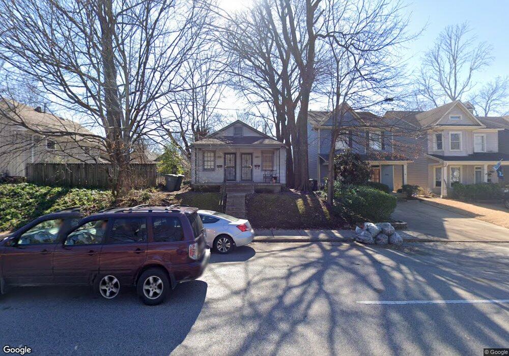
2051 Peabody Ave Memphis, TN 38104
Cooper-Young NeighborhoodEstimated Value: $175,000 - $250,000
1
Bed
1
Bath
595
Sq Ft
$345/Sq Ft
Est. Value
About This Home
This home is located at 2051 Peabody Ave, Memphis, TN 38104 and is currently estimated at $205,179, approximately $344 per square foot. 2051 Peabody Ave is a home located in Shelby County with nearby schools including Idlewild Elementary School, Central High School, and Compass Community School Midtown Campus.
Ownership History
Date
Name
Owned For
Owner Type
Purchase Details
Closed on
Mar 21, 2020
Sold by
Cooper Robert E and Cooper Regina M
Bought by
Ess Investments Llc
Current Estimated Value
Purchase Details
Closed on
Sep 29, 1998
Sold by
Pirano John A and Pirano Sheryl A
Bought by
Cooper Robert E and Miller Regina M
Home Financials for this Owner
Home Financials are based on the most recent Mortgage that was taken out on this home.
Original Mortgage
$24,255
Interest Rate
6.96%
Create a Home Valuation Report for This Property
The Home Valuation Report is an in-depth analysis detailing your home's value as well as a comparison with similar homes in the area
Home Values in the Area
Average Home Value in this Area
Purchase History
| Date | Buyer | Sale Price | Title Company |
|---|---|---|---|
| Ess Investments Llc | $142,000 | None Available | |
| Cooper Robert E | $26,950 | -- |
Source: Public Records
Mortgage History
| Date | Status | Borrower | Loan Amount |
|---|---|---|---|
| Previous Owner | Cooper Robert E | $24,255 |
Source: Public Records
Tax History Compared to Growth
Tax History
| Year | Tax Paid | Tax Assessment Tax Assessment Total Assessment is a certain percentage of the fair market value that is determined by local assessors to be the total taxable value of land and additions on the property. | Land | Improvement |
|---|---|---|---|---|
| 2025 | $1,931 | $66,640 | $23,440 | $43,200 |
| 2024 | $1,931 | $56,960 | $12,160 | $44,800 |
| 2023 | $3,470 | $56,960 | $12,160 | $44,800 |
| 2022 | $3,470 | $56,960 | $12,160 | $44,800 |
| 2021 | $3,510 | $56,960 | $12,160 | $44,800 |
| 2020 | $2,440 | $33,680 | $12,160 | $21,520 |
| 2019 | $1,076 | $33,680 | $12,160 | $21,520 |
| 2018 | $1,076 | $33,680 | $12,160 | $21,520 |
| 2017 | $1,102 | $33,680 | $12,160 | $21,520 |
| 2016 | $1,498 | $34,280 | $0 | $0 |
| 2014 | $1,498 | $34,280 | $0 | $0 |
Source: Public Records
Map
Nearby Homes
- 2060 Carr Ave
- 2065 Peabody Ave
- 2046 Courtland Place
- 2080 Vinton Ave
- 1999 Peabody Ave
- 2086 Harbert Ave
- 2092 Linden Ave
- 2092 Harbert Ave
- 2113 Vinton Ave
- 2096 Linden Ave
- 1971 Vinton Ave
- 519 Summitt St
- 521 Summitt St
- 1947 Linden Ave
- 2007 Cowden Ave
- 2012 Higbee Ave
- 2100 Higbee Ave
- 2006 Higbee Ave
- 2106 Higbee Ave
- 31 S Morrison St
- 2053 Peabody Ave
- 2047 Peabody Ave
- 2061 Peabody Ave
- 2043 Peabody Ave
- 2041 Peabody Ave
- 2063 Peabody Ave
- 2054 Carr Ave
- 2046 Carr Ave
- 2064 Carr Ave
- 2044 Carr Ave
- 2037 Peabody Ave
- 2042 Carr Ave
- 2069 Peabody Ave
- 2050 Peabody Ave
- 2066 Carr Ave
- 2056 Peabody Ave
- 2046 Peabody Ave
- 2040 Carr Ave
- 2062 Peabody Ave
- 2068 Carr Ave