2051 Robert Sherrill Ln Lincolnton, NC 28092
Estimated Value: $284,000 - $376,000
3
Beds
2
Baths
1,536
Sq Ft
$224/Sq Ft
Est. Value
About This Home
This home is located at 2051 Robert Sherrill Ln, Lincolnton, NC 28092 and is currently estimated at $343,888, approximately $223 per square foot. 2051 Robert Sherrill Ln is a home located in Lincoln County with nearby schools including Iron Station Elementary School, North Lincoln Middle School, and North Lincoln High School.
Ownership History
Date
Name
Owned For
Owner Type
Purchase Details
Closed on
Jul 31, 2008
Sold by
The Bank Of New York Trust Company Natio
Bought by
Noles Robert Casey
Current Estimated Value
Home Financials for this Owner
Home Financials are based on the most recent Mortgage that was taken out on this home.
Original Mortgage
$114,240
Outstanding Balance
$74,905
Interest Rate
6.31%
Mortgage Type
Purchase Money Mortgage
Estimated Equity
$268,983
Purchase Details
Closed on
Apr 8, 2008
Sold by
Webster Elizabeth A and Webster Daniel
Bought by
The Bank Of New York Trust Company Natio
Purchase Details
Closed on
Mar 27, 1996
Bought by
Webster Daniel and Webst Elizabeth A
Create a Home Valuation Report for This Property
The Home Valuation Report is an in-depth analysis detailing your home's value as well as a comparison with similar homes in the area
Home Values in the Area
Average Home Value in this Area
Purchase History
| Date | Buyer | Sale Price | Title Company |
|---|---|---|---|
| Noles Robert Casey | $112,000 | None Available | |
| The Bank Of New York Trust Company Natio | $113,572 | None Available | |
| Webster Daniel | $18,500 | -- |
Source: Public Records
Mortgage History
| Date | Status | Borrower | Loan Amount |
|---|---|---|---|
| Open | Noles Robert Casey | $114,240 |
Source: Public Records
Tax History Compared to Growth
Tax History
| Year | Tax Paid | Tax Assessment Tax Assessment Total Assessment is a certain percentage of the fair market value that is determined by local assessors to be the total taxable value of land and additions on the property. | Land | Improvement |
|---|---|---|---|---|
| 2025 | $1,936 | $292,506 | $64,381 | $228,125 |
| 2024 | $1,885 | $291,305 | $63,180 | $228,125 |
| 2023 | $1,874 | $291,305 | $63,180 | $228,125 |
| 2022 | $1,422 | $176,911 | $45,631 | $131,280 |
| 2021 | $1,422 | $170,671 | $45,631 | $125,040 |
| 2020 | $1,227 | $170,671 | $45,631 | $125,040 |
| 2019 | $1,145 | $164,494 | $45,631 | $118,863 |
| 2018 | $1,074 | $137,379 | $46,807 | $90,572 |
| 2017 | $973 | $137,379 | $46,807 | $90,572 |
| 2016 | $973 | $137,379 | $46,807 | $90,572 |
| 2015 | $1,039 | $137,379 | $46,807 | $90,572 |
| 2014 | $1,084 | $144,442 | $47,714 | $96,728 |
Source: Public Records
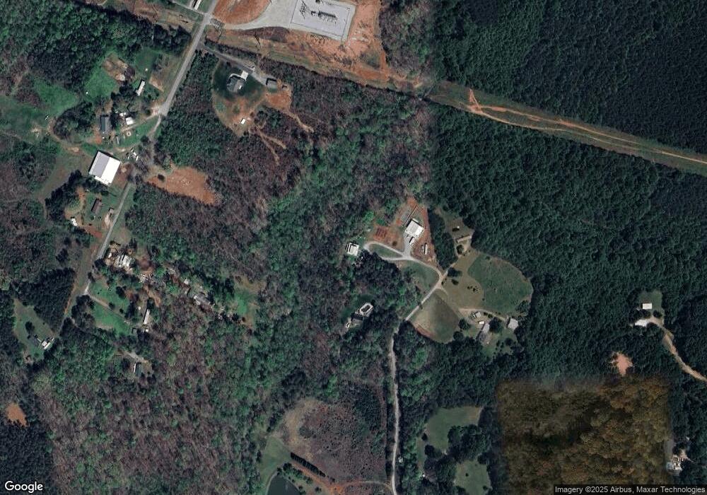
Map
Nearby Homes
- 1711 Furnace Road Extension
- 0 Mineral Ln
- 1850 Furnace Rd
- 32 Miners Creek Dr
- 4465 Brancer Ln
- 1076 Furnace Rd
- 4417 King Wilkinson Rd
- 5093 N Nc 150
- 1448 Weatherwood Dr
- 0 King Wilkinson Rd Unit 2 CAR4241102
- 5045 Amity Ln Unit 12
- 3249 Ivey Creek Rd
- 2914 Weatherfield Dr
- 2911 Weatherfield Dr
- 2313 Ivey Church Rd
- 2321 Ivey Church Rd
- 812 Trinity Ln
- 4436 Brancer Ln Unit 16
- 4931 King Wilkinson Rd
- 4442 Brancer Ln Unit 17
- 2021 Robert Sherrill Ln
- 2046 Robert Sherrill Ln
- 2100 Otis Dellinger Rd
- 0000 Otis Dellinger Rd
- 2170 Otis Dellinger Rd
- 2204 Otis Dellinger Rd
- 2051 Otis Dellinger Rd
- 2125 Otis Dellinger Rd
- 2189 Otis Dellinger Rd
- 2160 Otis Dellinger Rd
- 1469 Furnace Rd
- 2261 Otis Dellinger Rd
- 2089 Otis Dellinger Rd
- 2277 Otis Dellinger Rd
- 1920 Robert Sherrill Ln
- 1909 Robert Sherrill Ln
- 1890 Robert Sherrill Ln
- 2307 Otis Dellinger Rd
- 1890 Myrtle Hill Ln
- 4677 Asbury Church Rd