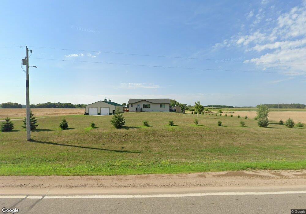
20510 County 101 Long Prairie, MN 56347
Estimated Value: $314,000 - $395,000
2
Beds
2
Baths
2,464
Sq Ft
$148/Sq Ft
Est. Value
About This Home
This home is located at 20510 County 101, Long Prairie, MN 56347 and is currently estimated at $363,445, approximately $147 per square foot. 20510 County 101 is a home located in Todd County with nearby schools including Red Rock Elementary School, Rex Bell Elementary School, and Long Prairie-Grey Secondary School.
Ownership History
Date
Name
Owned For
Owner Type
Purchase Details
Closed on
Sep 10, 2019
Sold by
Tomford Andrew R and Tomford Lisa A
Bought by
Tomford Brian and Tomford Manette
Current Estimated Value
Home Financials for this Owner
Home Financials are based on the most recent Mortgage that was taken out on this home.
Original Mortgage
$148,000
Outstanding Balance
$129,901
Interest Rate
3.7%
Mortgage Type
New Conventional
Estimated Equity
$233,544
Purchase Details
Closed on
Sep 1, 2005
Sold by
Tomford Robert and Tomford Lila
Bought by
Tomford Andrew and Tomford Rebecca
Home Financials for this Owner
Home Financials are based on the most recent Mortgage that was taken out on this home.
Original Mortgage
$96,000
Interest Rate
5.89%
Mortgage Type
Future Advance Clause Open End Mortgage
Create a Home Valuation Report for This Property
The Home Valuation Report is an in-depth analysis detailing your home's value as well as a comparison with similar homes in the area
Home Values in the Area
Average Home Value in this Area
Purchase History
| Date | Buyer | Sale Price | Title Company |
|---|---|---|---|
| Tomford Brian | $185,000 | Main Street Title | |
| Tomford Andrew | -- | None Available |
Source: Public Records
Mortgage History
| Date | Status | Borrower | Loan Amount |
|---|---|---|---|
| Open | Tomford Brian | $148,000 | |
| Previous Owner | Tomford Andrew | $96,000 |
Source: Public Records
Tax History Compared to Growth
Tax History
| Year | Tax Paid | Tax Assessment Tax Assessment Total Assessment is a certain percentage of the fair market value that is determined by local assessors to be the total taxable value of land and additions on the property. | Land | Improvement |
|---|---|---|---|---|
| 2025 | $3,234 | $340,100 | $49,000 | $291,100 |
| 2024 | $2,106 | $341,600 | $49,000 | $292,600 |
| 2023 | $2,100 | $244,200 | $44,200 | $200,000 |
| 2022 | $2,326 | $215,000 | $39,400 | $175,600 |
| 2021 | $2,248 | $208,200 | $39,400 | $168,800 |
| 2020 | $2,350 | $199,300 | $36,400 | $162,900 |
| 2019 | $1,650 | $194,200 | $36,400 | $157,800 |
| 2018 | $1,318 | $133,000 | $26,700 | $106,300 |
| 2017 | $1,070 | $110,900 | $28,700 | $82,200 |
| 2016 | $1,206 | $96,400 | $29,000 | $67,400 |
| 2015 | $1,138 | $0 | $0 | $0 |
| 2014 | -- | $0 | $0 | $0 |
Source: Public Records
Map
Nearby Homes
- 25156 204th St
- 25158 204th St
- 29358 Era Cir
- 22070 295th Ave
- 22387 Gooseberry Trail
- 21623 243rd Ave
- 23043 210th St
- 10013 Highway 27
- 631 Charlotte Ln
- 611 6th St SE
- 902 Meadow Lark Ln
- 903 Woodland Cir
- 320 Todd St S
- 23192 200th St
- 409 2nd Ave S
- 915 4th Ave NE
- 27 1st Ave S
- 13 2nd Ave SW
- 111 3rd St N
- TBD Elderberry Dr