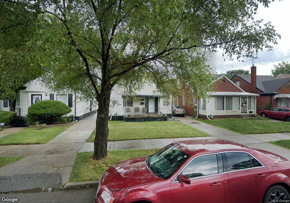
20516 Rogge St Detroit, MI 48234
Sherwood NeighborhoodEstimated Value: $79,772 - $98,000
3
Beds
1
Bath
1,202
Sq Ft
$72/Sq Ft
Est. Value
About This Home
This home is located at 20516 Rogge St, Detroit, MI 48234 and is currently estimated at $86,693, approximately $72 per square foot. 20516 Rogge St is a home located in Wayne County with nearby schools including Marion Law Academy, Edward 'Duke' Ellington Conservatory of Music and Art, and Charles L. Spain Elementary-Middle School.
Ownership History
Date
Name
Owned For
Owner Type
Purchase Details
Closed on
Sep 29, 2009
Sold by
Donovan Shaun
Bought by
Berry Delmarie
Current Estimated Value
Purchase Details
Closed on
Aug 27, 2007
Sold by
Us Bank Na
Bought by
The Secretary Of Housing & Urban Develop
Purchase Details
Closed on
Jun 27, 2007
Sold by
Harris Kathye
Bought by
Us Bank Na
Create a Home Valuation Report for This Property
The Home Valuation Report is an in-depth analysis detailing your home's value as well as a comparison with similar homes in the area
Home Values in the Area
Average Home Value in this Area
Purchase History
| Date | Buyer | Sale Price | Title Company |
|---|---|---|---|
| Berry Delmarie | $5,001 | None Available | |
| The Secretary Of Housing & Urban Develop | -- | None Available | |
| Us Bank Na | $55,824 | None Available |
Source: Public Records
Tax History Compared to Growth
Tax History
| Year | Tax Paid | Tax Assessment Tax Assessment Total Assessment is a certain percentage of the fair market value that is determined by local assessors to be the total taxable value of land and additions on the property. | Land | Improvement |
|---|---|---|---|---|
| 2025 | $1,425 | $35,400 | $0 | $0 |
| 2024 | $1,425 | $30,000 | $0 | $0 |
| 2023 | $1,384 | $24,100 | $0 | $0 |
| 2022 | $1,477 | $19,100 | $0 | $0 |
| 2021 | $1,436 | $13,700 | $0 | $0 |
| 2020 | $772 | $13,200 | $0 | $0 |
| 2019 | $762 | $10,300 | $0 | $0 |
| 2018 | $666 | $8,300 | $0 | $0 |
| 2017 | $135 | $7,100 | $0 | $0 |
| 2016 | $983 | $23,100 | $0 | $0 |
| 2015 | $1,240 | $12,400 | $0 | $0 |
| 2013 | $1,543 | $15,433 | $0 | $0 |
| 2010 | -- | $22,627 | $926 | $21,701 |
Source: Public Records
Map
Nearby Homes
- 7052 Rivard Ave
- 20400 Packard St
- 20466 Spencer St
- 20485 Helen St
- 7003 Rivard Ave
- 20514 Concord St
- 7029 Jackson Ave
- 7534 Fisher Ave
- 20170 Carrie St
- 20185 Carrie St
- 20215 Stotter St
- 7028 Yacht Ave
- 20151 Carrie St
- 7251 Yacht Ave
- 7645 Fisher Ave
- 7624 Yacht Ave
- 20161 Helen St
- 20124 Spencer St
- 7044 Westminster Ave
- 20464 Bramford St
- 20524 Rogge St
- 20510 Rogge St
- 20500 Rogge St
- 20530 Rogge St
- 20494 Rogge St
- 20519 Packard St
- 20511 Packard St
- 20488 Rogge St
- 20525 Packard St
- 20503 Packard St
- 20535 Packard St
- 20495 Packard St
- 20515 Rogge St
- 20509 Rogge St
- 20525 Rogge St
- 20487 Packard St
- 20501 Rogge St
- 20531 Rogge St
- 20474 Rogge St
- 20483 Packard St