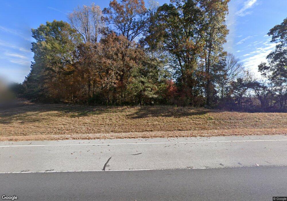
20519 Highway 441 S Commerce, GA 30529
Estimated Value: $674,588
--
Bed
--
Bath
5,800
Sq Ft
$116/Sq Ft
Est. Value
About This Home
This home is located at 20519 Highway 441 S, Commerce, GA 30529 and is currently estimated at $674,588, approximately $116 per square foot. 20519 Highway 441 S is a home located in Banks County with nearby schools including Banks County Primary School, Banks County Elementary School, and Banks County Middle School.
Ownership History
Date
Name
Owned For
Owner Type
Purchase Details
Closed on
Jun 14, 2023
Sold by
Borders Eddie A
Bought by
Borders Barbara A and Borders Eddie A
Current Estimated Value
Purchase Details
Closed on
Jun 23, 2022
Sold by
Johnson Kevin
Bought by
Mccroskey Maxwell S
Home Financials for this Owner
Home Financials are based on the most recent Mortgage that was taken out on this home.
Original Mortgage
$325,000
Interest Rate
5.1%
Mortgage Type
Mortgage Modification
Purchase Details
Closed on
Mar 13, 2015
Sold by
Northeast Georgia Bank
Bought by
Johnson Kevin J and Johnson Sally A
Home Financials for this Owner
Home Financials are based on the most recent Mortgage that was taken out on this home.
Original Mortgage
$151,274
Interest Rate
3.79%
Mortgage Type
Commercial
Purchase Details
Closed on
Jul 2, 2013
Sold by
Dowdy Michael T
Bought by
Northeast Georgia Bank
Create a Home Valuation Report for This Property
The Home Valuation Report is an in-depth analysis detailing your home's value as well as a comparison with similar homes in the area
Home Values in the Area
Average Home Value in this Area
Purchase History
| Date | Buyer | Sale Price | Title Company |
|---|---|---|---|
| Borders Barbara A | -- | -- | |
| Mccroskey Maxwell S | $600,000 | -- | |
| Johnson Kevin J | $185,000 | -- | |
| Northeast Georgia Bank | -- | -- |
Source: Public Records
Mortgage History
| Date | Status | Borrower | Loan Amount |
|---|---|---|---|
| Previous Owner | Mccroskey Maxwell S | $325,000 | |
| Previous Owner | Johnson Kevin J | $151,274 |
Source: Public Records
Tax History Compared to Growth
Tax History
| Year | Tax Paid | Tax Assessment Tax Assessment Total Assessment is a certain percentage of the fair market value that is determined by local assessors to be the total taxable value of land and additions on the property. | Land | Improvement |
|---|---|---|---|---|
| 2025 | $4,755 | $241,331 | $110,000 | $131,331 |
| 2024 | $4,755 | $241,331 | $110,000 | $131,331 |
| 2023 | $4,812 | $236,437 | $110,000 | $126,437 |
| 2022 | $3,005 | $142,993 | $50,000 | $92,993 |
| 2021 | $2,988 | $133,729 | $46,380 | $87,349 |
| 2020 | $2,791 | $121,705 | $34,356 | $87,349 |
| 2019 | $2,805 | $121,705 | $34,356 | $87,349 |
| 2018 | $2,851 | $121,705 | $34,356 | $87,349 |
| 2017 | $2,864 | $117,223 | $29,874 | $87,349 |
Source: Public Records
Map
Nearby Homes
- 150 Harden Bridge Rd
- 20352 Highway 441 S
- 144 Chestnut Trail
- 189 Oakwood Dr
- 135 Horseshoe Trail
- 0 Eisenhower Dr
- 214 Cannon Creek
- 390 Beck Farm Rd
- 0 N Highway 441 Unit 10570307
- 1570 Historic Homer Hwy
- 840 Haggard Rd
- 119 Gordon Rd
- 297 Dodge Hill Rd
- 0 Steven B Tanger Blvd Unit 18091877
- 122 Cannon Creek
- 606 Beck Rd
- 0 McCoy Bridge Rd Unit 20148799
- 140 Buckeye Trails Dr
- 1911 Ridgeway Church Rd
- 333 Sims Bridge Rd
- 20563 Highway 441 S
- 20563 U S 441
- 20585 Highway 441 S
- 20519 U S 441
- 0 N Us Highway 441 at Richie Rd Unit 8945698
- 0 Hwy 441 and Richey Rd Unit 3201602
- 1743 Historic Homer Hwy
- 1779 Historic Homer Hwy
- 0 Highway 441 S Unit 5931156
- 0 Highway 441 S Unit 8284823
- 0 Highway 441 S Unit 5909948
- 0 Highway 441 S Unit 8239390
- 0 Highway 441 S Unit 5884060
- 0 Highway 441 S Unit 2911585
- 0 Highway 441 S Unit 3278436
- 0 Highway 441 S Unit 7311320
- 0 Highway 441 S Unit 7329432
- 0 Highway 441 S Unit 7356690
- 0 Highway 441 S Unit 7412303
- 0 Highway 441 S Unit 7464478
