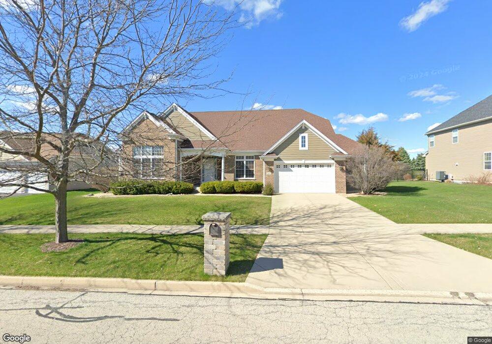
2052 Bartram Rd North Aurora, IL 60542
Nelson Lake NeighborhoodEstimated Value: $561,426 - $690,000
3
Beds
--
Bath
3,174
Sq Ft
$203/Sq Ft
Est. Value
About This Home
This home is located at 2052 Bartram Rd, North Aurora, IL 60542 and is currently estimated at $643,607, approximately $202 per square foot. 2052 Bartram Rd is a home located in Kane County with nearby schools including Fearn Elementary School, Herget Middle School, and West Aurora High School.
Ownership History
Date
Name
Owned For
Owner Type
Purchase Details
Closed on
May 5, 2006
Sold by
Wiseman Hughes Enterprises Inc
Bought by
Payne Robert K and Payne Lori A Trippi
Current Estimated Value
Home Financials for this Owner
Home Financials are based on the most recent Mortgage that was taken out on this home.
Original Mortgage
$418,479
Outstanding Balance
$238,465
Interest Rate
6.12%
Mortgage Type
Purchase Money Mortgage
Estimated Equity
$405,142
Create a Home Valuation Report for This Property
The Home Valuation Report is an in-depth analysis detailing your home's value as well as a comparison with similar homes in the area
Home Values in the Area
Average Home Value in this Area
Purchase History
| Date | Buyer | Sale Price | Title Company |
|---|---|---|---|
| Payne Robert K | $523,500 | Freedom Title Corp |
Source: Public Records
Mortgage History
| Date | Status | Borrower | Loan Amount |
|---|---|---|---|
| Open | Payne Robert K | $418,479 |
Source: Public Records
Tax History Compared to Growth
Tax History
| Year | Tax Paid | Tax Assessment Tax Assessment Total Assessment is a certain percentage of the fair market value that is determined by local assessors to be the total taxable value of land and additions on the property. | Land | Improvement |
|---|---|---|---|---|
| 2024 | $12,964 | $177,577 | $27,319 | $150,258 |
| 2023 | $12,660 | $161,170 | $24,795 | $136,375 |
| 2022 | $12,130 | $150,626 | $23,173 | $127,453 |
| 2021 | $11,794 | $142,854 | $21,977 | $120,877 |
| 2020 | $11,724 | $140,108 | $21,555 | $118,553 |
| 2019 | $11,820 | $135,148 | $20,792 | $114,356 |
| 2018 | $11,737 | $130,000 | $20,000 | $110,000 |
| 2017 | $13,724 | $146,460 | $16,374 | $130,086 |
| 2016 | $13,671 | $142,194 | $15,897 | $126,297 |
| 2015 | -- | $138,956 | $15,535 | $123,421 |
| 2014 | -- | $134,582 | $15,046 | $119,536 |
| 2013 | -- | $131,956 | $14,752 | $117,204 |
Source: Public Records
Map
Nearby Homes
- 2045 Bartram Rd
- 921 N Deerpath Rd
- 916 Fair Meadow St
- 876 Fair Meadow Ct
- 868 Fair Meadow Ct
- 917 Fair Meadow St
- 909 Fair Meadow St
- Maxfield Plan at Autumn Ridge
- Morgan Plan at Autumn Ridge
- Newbury Plan at Autumn Ridge
- Quinn Plan at Autumn Ridge
- Paxton Plan at Autumn Ridge
- Leyden Plan at Autumn Ridge
- 1799 Breton Ave
- 875 Fair Meadow Ct
- 1679 Patterson Ave
- 867 Fair Meadow Ct
- 1663 Patterson Ave
- 1655 Patterson Ave
- 1759 Breton Ave
- 2044 Bartram Rd
- 2060 Bartram Rd
- 2030 Sandell Ln
- 2068 Bartram Rd
- 2036 Bartram Rd
- 2053 Bartram Rd
- 2038 Sandell Ln
- 2061 Bartram Rd
- 2069 Bartram Rd
- 2076 Bartram Rd
- 2037 Bartram Rd
- 2046 Sandell Ln
- 2077 Bartram Rd
- 3023 Sandell Ln
- 2023 Sandell Ln
- 974 Brandon Ct
- 2084 Bartram Rd
- 970 Mirador Dr
- 123 Mirador Dr
- 2031 Sandell Ln