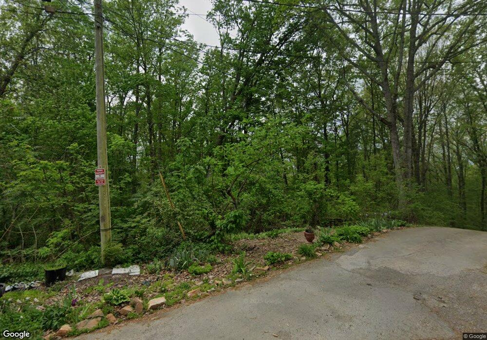
2053 Grove Dale Dr Morristown, TN 37814
Estimated Value: $284,000 - $405,000
--
Bed
2
Baths
1,948
Sq Ft
$175/Sq Ft
Est. Value
About This Home
This home is located at 2053 Grove Dale Dr, Morristown, TN 37814 and is currently estimated at $340,719, approximately $174 per square foot. 2053 Grove Dale Dr is a home located in Hamblen County with nearby schools including Manley Elementary School, West View Middle School, and Morristown West High School.
Ownership History
Date
Name
Owned For
Owner Type
Purchase Details
Closed on
Jun 12, 1998
Bought by
Miller Deborah Lynette
Current Estimated Value
Purchase Details
Closed on
Dec 12, 1988
Bought by
Miller William Edward and Deborah Lyn
Purchase Details
Closed on
Dec 11, 1988
Bought by
Snyder David Roger
Purchase Details
Closed on
Aug 5, 1987
Bought by
Ferrell Stanley D and Ferrell Paula J
Purchase Details
Closed on
Aug 27, 1985
Bought by
Ferrell Stanley D and Ferrell Paula J
Purchase Details
Closed on
Jun 26, 1985
Bought by
Snyder David Roger
Create a Home Valuation Report for This Property
The Home Valuation Report is an in-depth analysis detailing your home's value as well as a comparison with similar homes in the area
Home Values in the Area
Average Home Value in this Area
Purchase History
| Date | Buyer | Sale Price | Title Company |
|---|---|---|---|
| Miller Deborah Lynette | -- | -- | |
| Miller William Edward | $14,000 | -- | |
| Snyder David Roger | -- | -- | |
| Ferrell Stanley D | -- | -- | |
| Ferrell Stanley D | -- | -- | |
| Snyder David Roger | -- | -- |
Source: Public Records
Tax History Compared to Growth
Tax History
| Year | Tax Paid | Tax Assessment Tax Assessment Total Assessment is a certain percentage of the fair market value that is determined by local assessors to be the total taxable value of land and additions on the property. | Land | Improvement |
|---|---|---|---|---|
| 2024 | $1,099 | $55,800 | $19,250 | $36,550 |
| 2023 | $1,099 | $55,800 | $0 | $0 |
| 2022 | $1,099 | $55,800 | $19,250 | $36,550 |
| 2021 | $1,099 | $55,800 | $19,250 | $36,550 |
| 2020 | $1,099 | $55,800 | $19,250 | $36,550 |
| 2019 | $1,123 | $52,700 | $19,250 | $33,450 |
| 2018 | $1,123 | $52,700 | $19,250 | $33,450 |
| 2017 | $1,123 | $52,700 | $19,250 | $33,450 |
| 2016 | $1,049 | $52,700 | $19,250 | $33,450 |
| 2015 | $975 | $52,700 | $19,250 | $33,450 |
| 2014 | -- | $52,700 | $19,250 | $33,450 |
| 2013 | -- | $56,850 | $0 | $0 |
Source: Public Records
Map
Nearby Homes
- 1701 Old Oak Ln
- 3641 Meadowland Dr
- 1086 St Ives Ct
- 3415 Emerald Ave
- 1054 Colonial Dr
- 3864 Apostle Rd
- 837 Foxglove Ln
- 2350 Joe Stephens Rd
- 1855 Joe Stephens Rd
- 0 Mcbride Rd
- 1987 Joe Stephens Rd
- 985 Kidwell Ridge Rd
- 1736 Jellicorse Rd
- 2978 Wilshire Blvd
- 1335 Joe Stephens Rd
- 801 Colonial Dr
- 3542 Wedgewood Dr
- 3471 Walden Dr
- 725 Barton Dr
- 3475 Walden Dr
- 2932 Blue Ridge Dr
- 2952 Blue Ridge Dr
- 1090 Central Church Rd
- 2080 Grove Dale Dr
- 2922 Blue Ridge Dr
- 2040 Grove Dale Dr
- 2912 Blue Ridge Dr
- 1062 Central Church Rd
- 1097 Tennessee Hills Dr
- 1147 Central Church Rd
- 2941 Blue Ridge Dr
- 1090 Tennessee Hills Dr
- 2894 Blue Ridge Dr
- 2989 Clear View Rd
- 2834 Blue Ridge Dr
- 2840 Blue Ridge Dr
- 2050 Grove Dale Dr
- 2961 Blue Ridge Dr
- 2854 Blue Ridge Dr
- 1083 Central Church Rd
