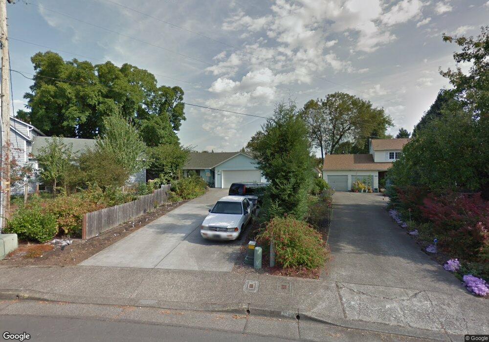
2053 NW Arthur Place Corvallis, OR 97330
Northwest Corvallis NeighborhoodEstimated Value: $495,000 - $553,000
4
Beds
2
Baths
1,770
Sq Ft
$294/Sq Ft
Est. Value
About This Home
This home is located at 2053 NW Arthur Place, Corvallis, OR 97330 and is currently estimated at $520,983, approximately $294 per square foot. 2053 NW Arthur Place is a home located in Benton County with nearby schools including Garfield Elementary School, Linus Pauling Middle School, and Corvallis High School.
Ownership History
Date
Name
Owned For
Owner Type
Purchase Details
Closed on
Dec 17, 2015
Sold by
Berning Bruce J and Berning Carol R
Bought by
Berning Bruce J
Current Estimated Value
Purchase Details
Closed on
Jun 7, 2000
Sold by
Cropsey Mryon G
Bought by
Berning Bruce
Home Financials for this Owner
Home Financials are based on the most recent Mortgage that was taken out on this home.
Original Mortgage
$45,000
Interest Rate
8.15%
Mortgage Type
Seller Take Back
Create a Home Valuation Report for This Property
The Home Valuation Report is an in-depth analysis detailing your home's value as well as a comparison with similar homes in the area
Home Values in the Area
Average Home Value in this Area
Purchase History
| Date | Buyer | Sale Price | Title Company |
|---|---|---|---|
| Berning Bruce J | -- | None Available | |
| Berning Bruce | $45,000 | Key Title Company |
Source: Public Records
Mortgage History
| Date | Status | Borrower | Loan Amount |
|---|---|---|---|
| Previous Owner | Berning Bruce | $45,000 |
Source: Public Records
Tax History Compared to Growth
Tax History
| Year | Tax Paid | Tax Assessment Tax Assessment Total Assessment is a certain percentage of the fair market value that is determined by local assessors to be the total taxable value of land and additions on the property. | Land | Improvement |
|---|---|---|---|---|
| 2024 | $3,684 | $191,776 | -- | -- |
| 2023 | $3,469 | $186,190 | $0 | $0 |
| 2022 | $3,368 | $180,767 | $0 | $0 |
| 2021 | $3,256 | $175,502 | $0 | $0 |
| 2020 | $3,238 | $170,390 | $0 | $0 |
| 2019 | $2,985 | $165,427 | $0 | $0 |
| 2018 | $3,001 | $160,609 | $0 | $0 |
| 2017 | $2,776 | $155,931 | $0 | $0 |
| 2016 | $2,764 | $151,389 | $0 | $0 |
| 2015 | $2,705 | $146,980 | $0 | $0 |
| 2014 | $2,636 | $142,699 | $0 | $0 |
| 2012 | -- | $134,508 | $0 | $0 |
Source: Public Records
Map
Nearby Homes
- 2040 NW 23rd St
- 1430 NW 15th St
- 1730 NW 13th St
- 1805 NW Grant Ave
- 1230 NW 23rd St
- 1925 NW 14th St
- 1583 NW Forestgreen Ave
- 1524 NW Forestgreen Ave
- 1225 NW 18th St
- 1835 NW Juniper Place
- 2941 NW Elmwood Dr
- 1919 NW Buchanan Ave
- 1720 NW Division St
- 3032 NW Grant Ave
- 2880 NW Lincoln Ave
- 1355 NW 11th St
- 3325 NW Circle Blvd
- 2717 NW Rolling Green Dr
- 2005 NW Taylor Ave
- 2125 NW Highland Dr
- 2041 NW Arthur Place
- 2065 NW Arthur Place
- 1755 NW Kings Blvd
- 2039 NW Arthur Place
- 1745 NW Kings Blvd
- 1763 NW Kings Blvd
- 2037 NW Arthur Place
- 2077 NW Arthur Place
- 2048 NW Arthur Place
- 2035 NW Arthur Place
- 2046 NW Arthur Place
- 2033 NW Arthur Place
- 2044 NW Arthur Place
- 1915 NW Arthur Ave
- 1815 NW Arthur Cir
- 1723 NW Kings Blvd
- 1767 NW Kings Blvd
- 2042 NW Arthur Place
- 1805 NW Arthur Cir
- 2029 NW Arthur Place