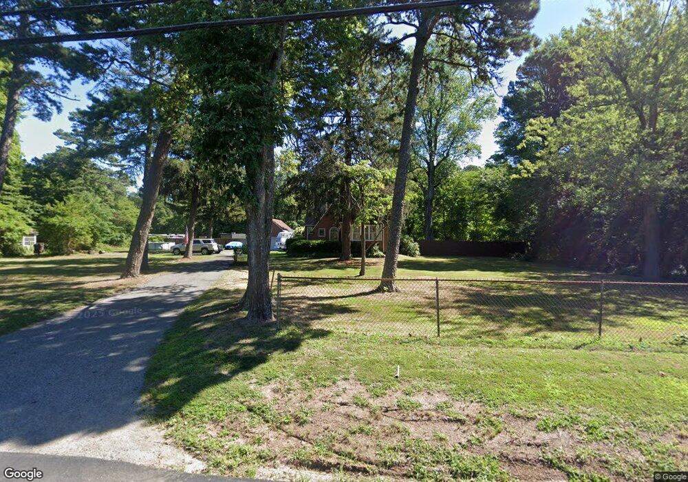
2053 Route 9 Toms River, NJ 08755
Estimated Value: $589,000 - $786,000
4
Beds
2
Baths
3,179
Sq Ft
$210/Sq Ft
Est. Value
About This Home
This home is located at 2053 Route 9, Toms River, NJ 08755 and is currently estimated at $667,549, approximately $209 per square foot. 2053 Route 9 is a home located in Ocean County with nearby schools including Ocean Academy Charter School, Bnos Brocha, and Cheder Toras Zev.
Ownership History
Date
Name
Owned For
Owner Type
Purchase Details
Closed on
Sep 5, 2003
Sold by
Hecht Michael
Bought by
Hecht Trailers Llc
Current Estimated Value
Home Financials for this Owner
Home Financials are based on the most recent Mortgage that was taken out on this home.
Original Mortgage
$150,000
Outstanding Balance
$68,530
Interest Rate
6.02%
Estimated Equity
$599,019
Create a Home Valuation Report for This Property
The Home Valuation Report is an in-depth analysis detailing your home's value as well as a comparison with similar homes in the area
Home Values in the Area
Average Home Value in this Area
Purchase History
| Date | Buyer | Sale Price | Title Company |
|---|---|---|---|
| Hecht Trailers Llc | $200,000 | -- |
Source: Public Records
Mortgage History
| Date | Status | Borrower | Loan Amount |
|---|---|---|---|
| Open | Hecht Trailers Llc | $150,000 |
Source: Public Records
Tax History Compared to Growth
Tax History
| Year | Tax Paid | Tax Assessment Tax Assessment Total Assessment is a certain percentage of the fair market value that is determined by local assessors to be the total taxable value of land and additions on the property. | Land | Improvement |
|---|---|---|---|---|
| 2025 | $7,273 | $399,200 | $194,000 | $205,200 |
| 2024 | $6,910 | $399,200 | $194,000 | $205,200 |
| 2023 | $6,659 | $399,200 | $194,000 | $205,200 |
| 2022 | $6,659 | $399,200 | $194,000 | $205,200 |
| 2021 | $8,041 | $321,900 | $187,400 | $134,500 |
| 2020 | $8,006 | $321,900 | $187,400 | $134,500 |
| 2019 | $7,658 | $321,900 | $187,400 | $134,500 |
| 2018 | $7,581 | $321,900 | $187,400 | $134,500 |
| 2017 | $7,529 | $321,900 | $187,400 | $134,500 |
| 2016 | $7,352 | $321,900 | $187,400 | $134,500 |
| 2015 | $7,088 | $321,900 | $187,400 | $134,500 |
| 2014 | $6,737 | $321,900 | $187,400 | $134,500 |
Source: Public Records
Map
Nearby Homes
- 1088 Cox Cro Rd
- 1004 Bal Harbor Dr
- 1094 Cox Cro Rd
- 1008 Bal Harbor Dr
- 1009 Bal Harbor Dr
- 1012 Bal Harbor Dr
- 2005 Coconut Grove Rd
- 1021 Bal Harbor Dr
- 1017 Bal Harbor Dr
- 2009 Coconut Grove Ct
- 2001 Coconut Grove Ct
- 1020 Bal Harbor Dr
- 2016 Coconut Grove Ct
- 2020 Coconut Grove Ct
- 201 Rio Grande Dr
- 205 Liberty Bell Rd
- 306 Susquehanna St
- 1183 Cynthia Ln
- 1141 Hickory St
- 121 Grande Woodlands Way
- 2057 Route 9
- 2031 Lakewood Rd
- 2061 Route 9
- 2047 Hecht Dr
- 2041 Hecht Dr
- 2053 Hecht Dr
- 2030 Lakewood Rd
- 2059 Hecht Dr
- 2008 Lakewood Rd
- 2040 Paavo Ct
- 2044 Paavo Ct
- 2036 Paavo Ct
- 2048 Paavo Ct
- 1048 Cox Cro Rd
- 2032 Paavo Ct
- 1082 Cox Cro Rd
- 2045 Paavo Ct
- 2037 Paavo Ct
- 1028 Cox Cro Rd Unit 1036
- 1028 Cox Cro Rd Unit 11