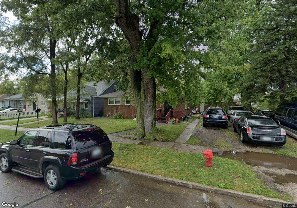
20531 Carrie St Detroit, MI 48234
Sherwood NeighborhoodEstimated Value: $59,000 - $110,000
3
Beds
1
Bath
950
Sq Ft
$82/Sq Ft
Est. Value
About This Home
This home is located at 20531 Carrie St, Detroit, MI 48234 and is currently estimated at $77,667, approximately $81 per square foot. 20531 Carrie St is a home located in Wayne County with nearby schools including Marion Law Academy, Edward 'Duke' Ellington Conservatory of Music and Art, and Charles L. Spain Elementary-Middle School.
Ownership History
Date
Name
Owned For
Owner Type
Purchase Details
Closed on
Feb 15, 2018
Sold by
Angel Group Llc
Bought by
Paige Joan
Current Estimated Value
Purchase Details
Closed on
May 28, 2013
Sold by
Angel Group Llc
Bought by
Page Joan
Purchase Details
Closed on
Nov 16, 2012
Sold by
Wayne County Treasurer
Bought by
Angel Group
Purchase Details
Closed on
Dec 17, 2010
Sold by
Jenkins Jannie B
Bought by
Sevilla Martin
Purchase Details
Closed on
Feb 8, 2002
Sold by
Jenkins Jannie B
Bought by
Jenkins Jannie B
Purchase Details
Closed on
Aug 5, 1997
Sold by
Sterling Bank & Trust
Create a Home Valuation Report for This Property
The Home Valuation Report is an in-depth analysis detailing your home's value as well as a comparison with similar homes in the area
Home Values in the Area
Average Home Value in this Area
Purchase History
| Date | Buyer | Sale Price | Title Company |
|---|---|---|---|
| Paige Joan | -- | None Available | |
| Page Joan | -- | None Available | |
| Angel Group | $1,850 | None Available | |
| Sevilla Martin | $3,500 | None Available | |
| Jenkins Jannie B | -- | -- | |
| -- | $32,000 | -- |
Source: Public Records
Tax History Compared to Growth
Tax History
| Year | Tax Paid | Tax Assessment Tax Assessment Total Assessment is a certain percentage of the fair market value that is determined by local assessors to be the total taxable value of land and additions on the property. | Land | Improvement |
|---|---|---|---|---|
| 2025 | $125 | $0 | $0 | $0 |
| 2024 | $125 | $0 | $0 | $0 |
| 2023 | $120 | $0 | $0 | $0 |
| 2022 | $2,001 | $18,800 | $0 | $0 |
| 2021 | $120 | $0 | $0 | $0 |
| 2020 | $120 | $0 | $0 | $0 |
| 2019 | $120 | $0 | $0 | $0 |
| 2018 | $670 | $9,000 | $0 | $0 |
| 2017 | $136 | $7,400 | $0 | $0 |
| 2016 | $743 | $22,900 | $0 | $0 |
| 2015 | $830 | $8,300 | $0 | $0 |
| 2013 | $1,034 | $10,341 | $0 | $0 |
| 2010 | -- | $20,263 | $1,042 | $19,221 |
Source: Public Records
Map
Nearby Homes
- 20485 Helen St
- 20514 Concord St
- 7052 Rivard Ave
- 7003 Rivard Ave
- 7029 Jackson Ave
- 20400 Packard St
- 20185 Carrie St
- 20170 Carrie St
- 20466 Spencer St
- 20151 Carrie St
- 20161 Helen St
- 7028 Yacht Ave
- 7534 Fisher Ave
- 7251 Yacht Ave
- 20035 Carrie St
- 7044 Westminster Ave
- 20043 Packard St
- 20124 Spencer St
- 19987 Carrie St
- 7645 Fisher Ave
- 7030 E 8 Mile Rd
- 20515 Carrie St
- 20505 Carrie St
- 20495 Carrie St
- 20530 Helen St
- 20522 Carrie St
- 20530 Carrie St
- 20522 Helen St
- 20516 Carrie St
- 20493 Carrie St
- 20508 Carrie St
- 20514 Helen St
- 20500 Carrie St
- 20490 Carrie St
- 20500 Helen St
- 20485 Carrie St
- 20484 Carrie St
- 20492 Helen St
- 7047 E 8 Mile Rd
- 7047 Eight Mile