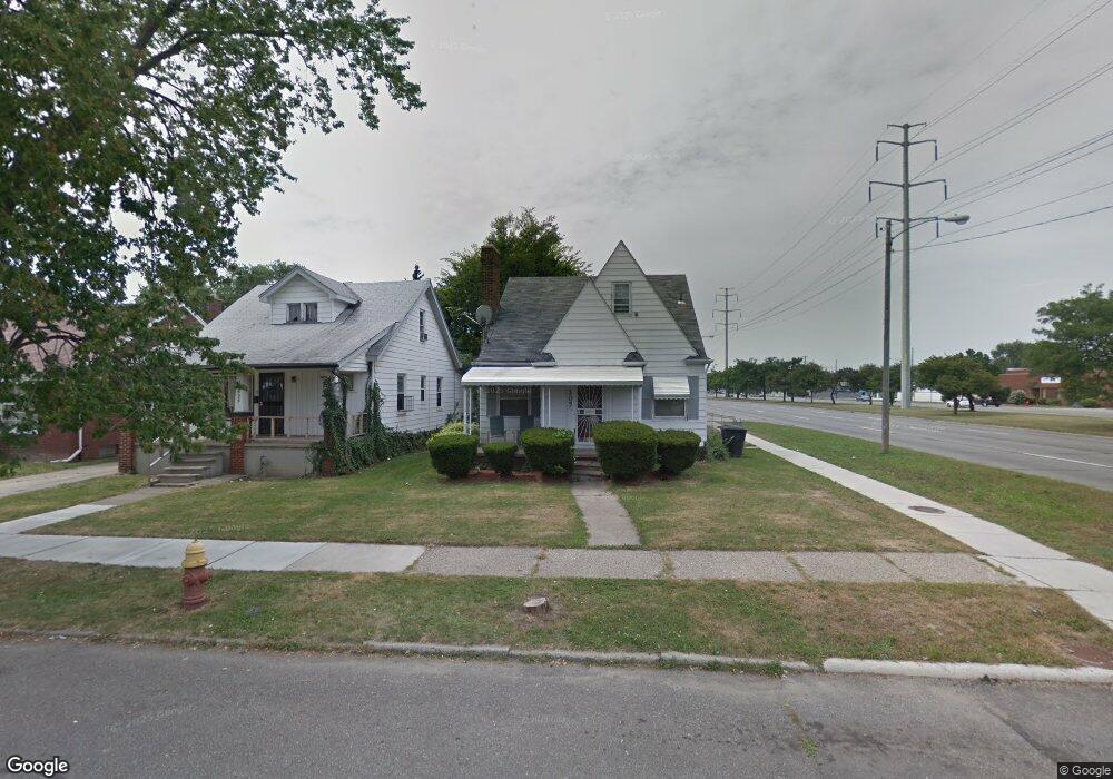
20531 Rogge St Detroit, MI 48234
Sherwood NeighborhoodEstimated Value: $88,000 - $112,000
4
Beds
1
Bath
1,400
Sq Ft
$70/Sq Ft
Est. Value
About This Home
This home is located at 20531 Rogge St, Detroit, MI 48234 and is currently estimated at $97,879, approximately $69 per square foot. 20531 Rogge St is a home located in Wayne County with nearby schools including Marion Law Academy, Edward 'Duke' Ellington Conservatory of Music and Art, and Charles L. Spain Elementary-Middle School.
Ownership History
Date
Name
Owned For
Owner Type
Purchase Details
Closed on
Mar 28, 2014
Sold by
A N A Rental Pros Llc
Bought by
Barks Danny
Current Estimated Value
Purchase Details
Closed on
Nov 7, 2013
Sold by
Wayne County Treasurer
Bought by
A N A Rental Pros Llc
Purchase Details
Closed on
Dec 12, 2007
Sold by
Manley Erick and Manley E
Bought by
Abn Amro Mortgage Group Inc
Create a Home Valuation Report for This Property
The Home Valuation Report is an in-depth analysis detailing your home's value as well as a comparison with similar homes in the area
Home Values in the Area
Average Home Value in this Area
Purchase History
| Date | Buyer | Sale Price | Title Company |
|---|---|---|---|
| Barks Danny | $12,500 | None Available | |
| A N A Rental Pros Llc | $4,100 | None Available | |
| Abn Amro Mortgage Group Inc | $62,733 | None Available |
Source: Public Records
Tax History Compared to Growth
Tax History
| Year | Tax Paid | Tax Assessment Tax Assessment Total Assessment is a certain percentage of the fair market value that is determined by local assessors to be the total taxable value of land and additions on the property. | Land | Improvement |
|---|---|---|---|---|
| 2025 | $826 | $40,500 | $0 | $0 |
| 2024 | $826 | $34,300 | $0 | $0 |
| 2023 | $800 | $27,600 | $0 | $0 |
| 2022 | $867 | $21,800 | $0 | $0 |
| 2021 | $847 | $15,600 | $0 | $0 |
| 2020 | $839 | $15,000 | $0 | $0 |
| 2019 | $828 | $11,700 | $0 | $0 |
| 2018 | $720 | $9,600 | $0 | $0 |
| 2017 | $152 | $8,000 | $0 | $0 |
| 2016 | $1,026 | $24,900 | $0 | $0 |
| 2015 | $1,310 | $13,100 | $0 | $0 |
| 2013 | $1,639 | $16,393 | $0 | $0 |
| 2010 | -- | $24,035 | $770 | $23,265 |
Source: Public Records
Map
Nearby Homes
- 7052 Rivard Ave
- 20485 Helen St
- 7003 Rivard Ave
- 20514 Concord St
- 20400 Packard St
- 20466 Spencer St
- 7029 Jackson Ave
- 7534 Fisher Ave
- 20185 Carrie St
- 20170 Carrie St
- 7028 Yacht Ave
- 20151 Carrie St
- 20215 Stotter St
- 20161 Helen St
- 7251 Yacht Ave
- 7645 Fisher Ave
- 7044 Westminster Ave
- 7624 Yacht Ave
- 20124 Spencer St
- 20043 Packard St
- 20525 Rogge St
- 20515 Rogge St
- 20509 Rogge St
- 20530 Carrie St
- 20522 Carrie St
- 20501 Rogge St
- 20516 Carrie St
- 20530 Rogge St
- 20508 Carrie St
- 20524 Rogge St
- 20491 Rogge St
- 20516 Rogge St
- 20500 Carrie St
- 20510 Rogge St
- 20500 Rogge St
- 20490 Carrie St
- 20494 Rogge St
- 20483 Rogge St
- 20484 Carrie St
- 20488 Rogge St