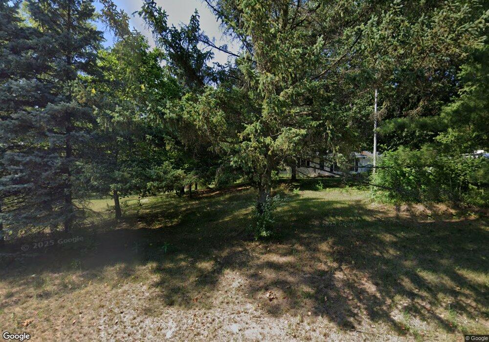
2055 18 Mile Rd NE Cedar Springs, MI 49319
Estimated Value: $140,758 - $249,000
2
Beds
1
Bath
924
Sq Ft
$213/Sq Ft
Est. Value
About This Home
This home is located at 2055 18 Mile Rd NE, Cedar Springs, MI 49319 and is currently estimated at $197,190, approximately $213 per square foot. 2055 18 Mile Rd NE is a home located in Kent County with nearby schools including Cedar Trails Elementary School, Red Hawk Intermediate School, and Beach Elementary School.
Ownership History
Date
Name
Owned For
Owner Type
Purchase Details
Closed on
Feb 27, 2007
Sold by
Devault Kathy Jo
Bought by
Devault Ford and Devault Kathy Jo
Current Estimated Value
Home Financials for this Owner
Home Financials are based on the most recent Mortgage that was taken out on this home.
Original Mortgage
$68,000
Interest Rate
6.27%
Mortgage Type
Stand Alone Refi Refinance Of Original Loan
Purchase Details
Closed on
Aug 8, 2006
Sold by
Devault Ford
Bought by
Devault Kathy Jo
Purchase Details
Closed on
Apr 18, 2006
Sold by
Devault Ford
Bought by
Devault Ford and Devault Kathy Jo
Purchase Details
Closed on
Jul 9, 1998
Bought by
Cook Richard F and Devault Kathy Jo
Purchase Details
Closed on
Aug 31, 1995
Bought by
Fredrick Ii John C and Devault Kathy Jo
Purchase Details
Closed on
Oct 25, 1990
Bought by
Devault Breen>Quist and Devault Kathy Jo
Create a Home Valuation Report for This Property
The Home Valuation Report is an in-depth analysis detailing your home's value as well as a comparison with similar homes in the area
Home Values in the Area
Average Home Value in this Area
Purchase History
| Date | Buyer | Sale Price | Title Company |
|---|---|---|---|
| Devault Ford | -- | Independent Title Svcs Inc | |
| Devault Kathy Jo | -- | None Available | |
| Devault Ford | -- | None Available | |
| Cook Richard F | $35,000 | -- | |
| Fredrick Ii John C | $40,000 | -- | |
| Devault Breen>Quist | $16,000 | -- |
Source: Public Records
Mortgage History
| Date | Status | Borrower | Loan Amount |
|---|---|---|---|
| Closed | Devault Ford | $68,000 |
Source: Public Records
Tax History Compared to Growth
Tax History
| Year | Tax Paid | Tax Assessment Tax Assessment Total Assessment is a certain percentage of the fair market value that is determined by local assessors to be the total taxable value of land and additions on the property. | Land | Improvement |
|---|---|---|---|---|
| 2025 | $1,288 | $99,800 | $0 | $0 |
| 2024 | $1,288 | $93,900 | $0 | $0 |
| 2023 | $1,231 | $82,000 | $0 | $0 |
| 2022 | $1,262 | $66,300 | $0 | $0 |
| 2021 | $1,272 | $58,800 | $0 | $0 |
| 2020 | $1,118 | $54,000 | $0 | $0 |
| 2019 | $14,010 | $51,900 | $0 | $0 |
| 2018 | $1,218 | $49,500 | $0 | $0 |
| 2017 | $1,184 | $42,700 | $0 | $0 |
| 2016 | $1,139 | $42,200 | $0 | $0 |
| 2015 | -- | $42,200 | $0 | $0 |
| 2013 | -- | $39,700 | $0 | $0 |
Source: Public Records
Map
Nearby Homes
- 2169 Quarter Horse Dr NE
- 2217 Quarter Horse Dr NE Unit 27
- 2358 Quarter Horse Dr Unit 3
- The Taylor Plan at Saddlebrook
- The Stockton Plan at Saddlebrook
- The Stafford Plan at Saddlebrook
- The Rowen Plan at Saddlebrook
- The Mayfair Plan at Saddlebrook
- The Brinley Plan at Saddlebrook
- The Amber Plan at Saddlebrook
- The Maxwell Plan at Saddlebrook
- The Wisteria Plan at Saddlebrook
- The Georgetown Plan at Saddlebrook
- The Balsam Plan at Saddlebrook
- The Grayson Plan at Saddlebrook
- 2329 Quarter Horse Dr NE Unit 35
- 2347 Quarter Horse Dr NE Unit 36
- 14551 Algoma Ave NE
- 2070 Solon St NE
- 2604 Wiersma St NE
- 2057 18 Mile Rd NE
- 2035 18 Mile Rd NE
- 2077 18 Mile Rd NE
- 2131 18 Mile Rd NE
- 2075 18 Mile Rd NE
- 2059 18 Mile Rd NE
- 2115 18 Mile Rd NE
- 2100 Quarter Horse Dr NE
- 2100 Quarter Horse Dr NE Unit 18
- 2111 18 Mile Rd NE
- 2095 Quarter Horse Dr NE Unit 19
- 2095 Quarter Horse Dr NE
- 2012 18 Mile Rd NE
- 2151 18 Mile Rd NE
- 2139 18 Mile Rd NE
- 2103 Quarter Horse Dr NE Unit 20
- 1990 18 Mile Rd NE
- 2138 Quarter Horse Dr NE Unit 16
- 1960 18 Mile Rd NE
- 2152 18 Mile Rd NE
