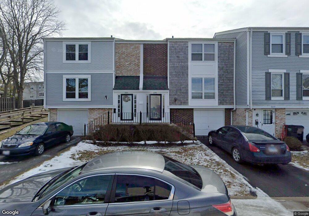
2055 Kettering Rd Unit 2 Hoffman Estates, IL 60169
South Hoffman Estates NeighborhoodEstimated Value: $298,367 - $314,000
3
Beds
2
Baths
1,659
Sq Ft
$184/Sq Ft
Est. Value
About This Home
This home is located at 2055 Kettering Rd Unit 2, Hoffman Estates, IL 60169 and is currently estimated at $305,092, approximately $183 per square foot. 2055 Kettering Rd Unit 2 is a home located in Cook County with nearby schools including John Muir Literacy Academy, Dwight D Eisenhower Junior High School, and Hoffman Estates High School.
Ownership History
Date
Name
Owned For
Owner Type
Purchase Details
Closed on
Sep 21, 2001
Sold by
Davalos Raquel V
Bought by
Kumar Shalav
Current Estimated Value
Home Financials for this Owner
Home Financials are based on the most recent Mortgage that was taken out on this home.
Original Mortgage
$137,025
Outstanding Balance
$51,547
Interest Rate
6.97%
Mortgage Type
FHA
Estimated Equity
$253,545
Purchase Details
Closed on
May 3, 1995
Sold by
Bowers Arthur
Bought by
Davalos Javier and Davalos Raquel V
Home Financials for this Owner
Home Financials are based on the most recent Mortgage that was taken out on this home.
Original Mortgage
$96,472
Interest Rate
8.39%
Mortgage Type
FHA
Create a Home Valuation Report for This Property
The Home Valuation Report is an in-depth analysis detailing your home's value as well as a comparison with similar homes in the area
Home Values in the Area
Average Home Value in this Area
Purchase History
| Date | Buyer | Sale Price | Title Company |
|---|---|---|---|
| Kumar Shalav | -- | First American Title | |
| Davalos Javier | $97,500 | Attorneys Title Guaranty Fun |
Source: Public Records
Mortgage History
| Date | Status | Borrower | Loan Amount |
|---|---|---|---|
| Open | Kumar Shalav | $137,025 | |
| Previous Owner | Davalos Javier | $96,472 |
Source: Public Records
Tax History
| Year | Tax Paid | Tax Assessment Tax Assessment Total Assessment is a certain percentage of the fair market value that is determined by local assessors to be the total taxable value of land and additions on the property. | Land | Improvement |
|---|---|---|---|---|
| 2025 | $5,120 | $27,000 | $2,688 | $24,312 |
| 2024 | $5,120 | $20,000 | $3,000 | $17,000 |
| 2023 | $4,924 | $20,000 | $3,000 | $17,000 |
| 2022 | $4,924 | $20,000 | $3,000 | $17,000 |
| 2021 | $4,273 | $16,084 | $2,116 | $13,968 |
| 2020 | $4,248 | $16,084 | $2,116 | $13,968 |
| 2019 | $4,228 | $17,872 | $2,116 | $15,756 |
| 2018 | $4,286 | $16,580 | $1,848 | $14,732 |
| 2017 | $4,229 | $16,580 | $1,848 | $14,732 |
| 2016 | $4,196 | $16,580 | $1,848 | $14,732 |
| 2015 | $3,664 | $14,031 | $1,612 | $12,419 |
| 2014 | $3,617 | $14,031 | $1,612 | $12,419 |
| 2013 | $3,505 | $14,031 | $1,612 | $12,419 |
Source: Public Records
Map
Nearby Homes
- 1965 Cheltenham Place Unit 2
- 1936 Whitingham Ln Unit 1
- 2080 Sutherland Place Unit 1
- 2021 Kensington Ln Unit 3004
- 2027 Kensington Ln Unit 3001
- 2025 Kensington Ln Unit 3002
- 2023 Kensington Ln Unit 3003
- 1836 Stockton Dr Unit 3312
- 1985 Leiter Way Unit 1102
- 1981 Leiter Way Unit 12005
- 1979 Leiter Way Unit 12004
- 1977 Leiter Way Unit 12003
- 1982 Leiter Way Unit 13004
- 1965 Blackberry Ln Unit 101
- 1996 Leiter Way Unit 14002
- 1992 Leiter Way Unit 14004
- 1792 Williamsburg Dr
- 2267 Briar Ct Unit 65
- 1797 Queensbury Cir Unit 5764
- 1840 Huntington Blvd Unit BW511
- 2059 Kettering Rd Unit 2
- 2063 Kettering Rd Unit 2
- 2067 Kettering Rd Unit 1881
- 2071 Kettering Rd Unit 2
- 1980 Georgetown Ln Unit 4
- 1982 Georgetown Ln Unit 4
- 1984 Georgetown Ln
- 1984 Georgetown Ln Unit 461
- 1987 Oxford Ln Unit 2
- 2075 Kettering Rd Unit 2
- 2075 Kettering Rd Unit 2075
- 1986 Georgetown Ln
- 1978 Georgetown Ln Unit 4
- 1976 Chelmsford Place
- 1989 Oxford Ln Unit 2
- 1988 Georgetown Ln
- 1976 Georgetown Ln Unit 4
- 1978 Chelmsford Place Unit 2
- 1991 Oxford Ln Unit 2
- 1990 Georgetown Ln Unit 4
Your Personal Tour Guide
Ask me questions while you tour the home.