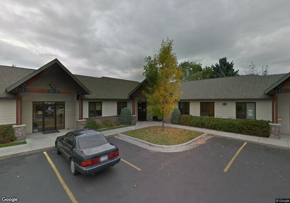
2055 N 22nd Ave Unit 1 Bozeman, MT 59718
North Bozeman NeighborhoodEstimated Value: $552,918
--
Bed
--
Bath
1,853
Sq Ft
$298/Sq Ft
Est. Value
About This Home
This home is located at 2055 N 22nd Ave Unit 1, Bozeman, MT 59718 and is currently estimated at $552,918, approximately $298 per square foot. 2055 N 22nd Ave Unit 1 is a home located in Gallatin County with nearby schools including Emily Dickinson School, Chief Joseph Middle School, and Bozeman High School.
Ownership History
Date
Name
Owned For
Owner Type
Purchase Details
Closed on
Nov 1, 2021
Sold by
Jason Fleischmann
Bought by
Montana Oral Surgery Real Esta
Current Estimated Value
Home Financials for this Owner
Home Financials are based on the most recent Mortgage that was taken out on this home.
Original Mortgage
$266,098
Outstanding Balance
$243,458
Interest Rate
2.88%
Mortgage Type
New Conventional
Estimated Equity
$309,460
Create a Home Valuation Report for This Property
The Home Valuation Report is an in-depth analysis detailing your home's value as well as a comparison with similar homes in the area
Home Values in the Area
Average Home Value in this Area
Purchase History
| Date | Buyer | Sale Price | Title Company |
|---|---|---|---|
| Montana Oral Surgery Real Esta | -- | None Listed On Document |
Source: Public Records
Mortgage History
| Date | Status | Borrower | Loan Amount |
|---|---|---|---|
| Open | Montana Oral Surgery Real Esta | $266,098 |
Source: Public Records
Tax History Compared to Growth
Tax History
| Year | Tax Paid | Tax Assessment Tax Assessment Total Assessment is a certain percentage of the fair market value that is determined by local assessors to be the total taxable value of land and additions on the property. | Land | Improvement |
|---|---|---|---|---|
| 2025 | $4,702 | $593,600 | $0 | $0 |
| 2024 | $4,368 | $468,700 | $0 | $0 |
| 2023 | $4,226 | $468,700 | $0 | $0 |
| 2022 | $3,849 | $358,500 | $0 | $0 |
| 2021 | $4,247 | $358,500 | $0 | $0 |
| 2020 | $3,893 | $325,500 | $0 | $0 |
| 2019 | $3,982 | $325,500 | $0 | $0 |
| 2018 | $4,112 | $311,500 | $0 | $0 |
| 2017 | $4,067 | $311,500 | $0 | $0 |
| 2016 | $4,541 | $344,000 | $0 | $0 |
| 2015 | $4,546 | $344,000 | $0 | $0 |
| 2014 | $4,184 | $260,858 | $0 | $0 |
Source: Public Records
Map
Nearby Homes
- 928 Mountain Ash Ave
- TBD N 19th Ave
- 748 Rogers Way Unit C
- 748 Rogers Way Unit A
- 748 Rogers Way
- 748 Rogers Way Unit B
- 745 Rogers Way
- 740 Rogers Way Unit C
- 740 Rogers Way Unit B
- 740 Rogers Way Unit A
- 510 N 23rd Ave
- 894 Rogers Way
- 907 N 17th Ave
- 420 N 22nd Ave
- 152 Laager Loop
- 2400 Durston Rd Unit 15
- 2619 Annie St
- 163 Wagon Train Trail
- 402 & 404 N 19th Ave
- 403 N 18th Ave
- 2055 N 22nd Ave
- 2011 N 22nd Ave Unit 101
- 2011 N 22nd Ave Unit 1
- 2011 N 22nd Ave
- 2011 N 22nd Ave Unit 6
- Bl 3 Lot 11 Annie St
- Bl 3 Lot 9 Annie St
- Bl 3 Lot 13 Annie St
- TBD Annie St
- 0 Annie Street & Lily Dr
- Bl 3 Lot 8 Annie St
- Bl 3 Lot 10 Annie St
- Bl 3 Lot 12 Annie St
- Bl 3 Lot 14 Annie St
- 2106 Windsor St
- 906 Brentwood Ave
- 2040 N 22nd Ave Unit Suite 2
- 2040 N 22nd Ave Unit B3
- 2104 Windsor St
- 802 N 22nd Ave