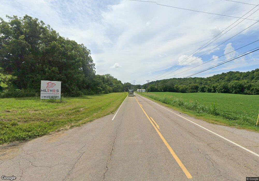
2056 E Highway 25 70 Dandridge, TN 37725
Estimated Value: $228,573 - $278,000
3
Beds
1
Bath
969
Sq Ft
$261/Sq Ft
Est. Value
About This Home
This home is located at 2056 E Highway 25 70, Dandridge, TN 37725 and is currently estimated at $253,393, approximately $261 per square foot. 2056 E Highway 25 70 is a home located in Jefferson County.
Ownership History
Date
Name
Owned For
Owner Type
Purchase Details
Closed on
Dec 18, 2020
Sold by
Dick Kenneth M and Dick Natalie K
Bought by
Mcafee Betty A and Mcafee Kenneth J
Current Estimated Value
Purchase Details
Closed on
Jan 3, 2017
Sold by
Massey Malcolm K
Bought by
Dick Kenneth M and Dick Natalie K
Purchase Details
Closed on
Jun 30, 2010
Sold by
Lewis Fannie Frances
Bought by
Massey Malcolm K
Home Financials for this Owner
Home Financials are based on the most recent Mortgage that was taken out on this home.
Original Mortgage
$60,000
Interest Rate
4.79%
Purchase Details
Closed on
Jun 1, 2010
Bought by
France Lewis Fannie
Home Financials for this Owner
Home Financials are based on the most recent Mortgage that was taken out on this home.
Original Mortgage
$60,000
Interest Rate
4.79%
Purchase Details
Closed on
Jun 20, 1984
Bought by
Lewis Fannie France
Purchase Details
Closed on
Oct 13, 1983
Purchase Details
Closed on
Nov 5, 1958
Create a Home Valuation Report for This Property
The Home Valuation Report is an in-depth analysis detailing your home's value as well as a comparison with similar homes in the area
Home Values in the Area
Average Home Value in this Area
Purchase History
| Date | Buyer | Sale Price | Title Company |
|---|---|---|---|
| Mcafee Betty A | $130,000 | Colonial Title Group Inc | |
| Dick Kenneth M | $50,000 | -- | |
| Massey Malcolm K | $50,000 | -- | |
| France Lewis Fannie | $9,000 | -- | |
| Lewis Fannie France | -- | -- | |
| -- | -- | -- | |
| -- | -- | -- |
Source: Public Records
Mortgage History
| Date | Status | Borrower | Loan Amount |
|---|---|---|---|
| Previous Owner | Not Available | $60,000 |
Source: Public Records
Tax History Compared to Growth
Tax History
| Year | Tax Paid | Tax Assessment Tax Assessment Total Assessment is a certain percentage of the fair market value that is determined by local assessors to be the total taxable value of land and additions on the property. | Land | Improvement |
|---|---|---|---|---|
| 2025 | $433 | $40,050 | $11,250 | $28,800 |
| 2023 | $433 | $18,825 | $0 | $0 |
| 2022 | $412 | $18,825 | $5,250 | $13,575 |
| 2021 | $412 | $18,825 | $5,250 | $13,575 |
| 2020 | $412 | $18,825 | $5,250 | $13,575 |
| 2019 | $373 | $18,825 | $5,250 | $13,575 |
| 2018 | $279 | $11,875 | $5,000 | $6,875 |
| 2017 | $279 | $11,875 | $5,000 | $6,875 |
| 2016 | $279 | $11,875 | $5,000 | $6,875 |
| 2015 | $279 | $11,875 | $5,000 | $6,875 |
| 2014 | $279 | $11,875 | $5,000 | $6,875 |
Source: Public Records
Map
Nearby Homes
- 1009 Old Newport Hwy
- 2943 Flicker Ln
- lot 5 Deerwood Dr & Sunset Harbor Dr
- 0 Sunset Harbor Dr Unit 1308337
- Lot 70r Lakeside Ct
- Lot 69 Deerwood Dr
- Lot 5 Deerwood Dr
- Lot 43 Sunset Harbor Dr
- 102 Ridgeline Trail
- 630 Douglas Ridge Dr
- Lot 92 Harbor Ridge Ln
- Lot 20 Plantation Point Dr
- 169 Plantation Point Dr
- 455 Sunset Harbor Dr
- 843 Clear Sail Way
- Lot 79 Harbor Ridge Ln
- 1410 Clear Point Trail
- Lot 72 Clear Point Trail
- Lot 74 Clear Point Trail
- 74 Clear Point Trail
- 2056 E Highway 25-70
- 2048 E Highway 25 70
- 2068 E Highway 25 70
- 2049 E Highway 25 70
- 2065 E Highway 25 70
- 2042 E Highway 25 70
- 2077 E Highway 25 70
- 2082 E Highway 25 70
- 2081 E Highway 25 70
- 2029 E Highway 25 70
- 2029 E Highway 25 70
- 2929 Flicker Ln
- 989 Old Newport Hwy
- 2081 Highway
- 997 Old Newport Hwy
- 1005 Old Newport Hwy
- 993 Old Newport Hwy
- 2933 Flicker Ln
- 1007 Old Newport Hwy
- 2809 Fain Rd
