2056 Upper Rinehart Rd Dandridge, TN 37725
Estimated Value: $288,000 - $456,000
4
Beds
2
Baths
2,052
Sq Ft
$165/Sq Ft
Est. Value
About This Home
This home is located at 2056 Upper Rinehart Rd, Dandridge, TN 37725 and is currently estimated at $337,677, approximately $164 per square foot. 2056 Upper Rinehart Rd is a home located in Jefferson County.
Ownership History
Date
Name
Owned For
Owner Type
Purchase Details
Closed on
Oct 11, 2011
Sold by
Waldo Robert
Bought by
Shaffer Kenneth Alen and Shaffer Elizabeth A
Current Estimated Value
Purchase Details
Closed on
Dec 19, 2005
Bought by
Waldo Robert and Waldo Bobbi Lynn
Purchase Details
Closed on
Jul 5, 2005
Sold by
Cmh Homes Inc
Bought by
Rodney Leone
Home Financials for this Owner
Home Financials are based on the most recent Mortgage that was taken out on this home.
Original Mortgage
$118,900
Interest Rate
5.57%
Purchase Details
Closed on
Jun 23, 2005
Bought by
Leone Rodney and Leone Obbie Waldo
Home Financials for this Owner
Home Financials are based on the most recent Mortgage that was taken out on this home.
Original Mortgage
$118,900
Interest Rate
5.57%
Purchase Details
Closed on
Apr 28, 2005
Bought by
Cmh Homes Inc Dba Clayton Homes
Home Financials for this Owner
Home Financials are based on the most recent Mortgage that was taken out on this home.
Original Mortgage
$118,900
Interest Rate
5.57%
Purchase Details
Closed on
Oct 17, 2002
Bought by
Brewer Lonzie and Brewer Donna
Create a Home Valuation Report for This Property
The Home Valuation Report is an in-depth analysis detailing your home's value as well as a comparison with similar homes in the area
Home Values in the Area
Average Home Value in this Area
Purchase History
| Date | Buyer | Sale Price | Title Company |
|---|---|---|---|
| Shaffer Kenneth Alen | $108,000 | -- | |
| Waldo Robert | $10,000 | -- | |
| Rodney Leone | $132,147 | -- | |
| Leone Rodney | $132,100 | -- | |
| Cmh Homes Inc Dba Clayton Homes | $45,000 | -- | |
| Brewer Lonzie | $33,000 | -- |
Source: Public Records
Mortgage History
| Date | Status | Borrower | Loan Amount |
|---|---|---|---|
| Previous Owner | Brewer Lonzie | $118,900 | |
| Previous Owner | Brewer Lonzie | $118,900 |
Source: Public Records
Tax History Compared to Growth
Tax History
| Year | Tax Paid | Tax Assessment Tax Assessment Total Assessment is a certain percentage of the fair market value that is determined by local assessors to be the total taxable value of land and additions on the property. | Land | Improvement |
|---|---|---|---|---|
| 2025 | $888 | $84,575 | $16,275 | $68,300 |
| 2023 | $888 | $38,625 | $0 | $0 |
| 2022 | $846 | $38,625 | $13,100 | $25,525 |
| 2021 | $846 | $38,625 | $13,100 | $25,525 |
| 2020 | $846 | $38,625 | $13,100 | $25,525 |
| 2019 | $846 | $38,625 | $13,100 | $25,525 |
| 2018 | $815 | $34,700 | $10,175 | $24,525 |
| 2017 | $815 | $34,700 | $10,175 | $24,525 |
| 2016 | $815 | $34,700 | $10,175 | $24,525 |
| 2015 | $815 | $34,700 | $10,175 | $24,525 |
| 2014 | $815 | $34,700 | $10,175 | $24,525 |
Source: Public Records
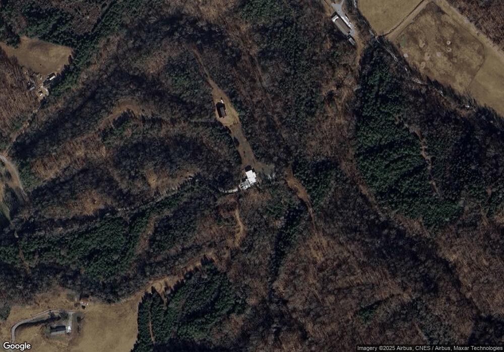
Map
Nearby Homes
- 000 TBD Upper Rinehart Rd
- TBA Upper Rinehart Rd
- 204 Omega Rd
- 0 Paradise Hills Rd Unit 1295977
- 0 Indian Creek Rd Unit 1299218
- 1633 Old Newport Hwy
- Par 067.14 Alpha Rd
- 3086 Old Highway 411
- 1668 Deerwood Rd
- 3406 Bridges Chapel Rd
- 1430 Swannsylvania Rd
- 3.97 acres Bridge Chapel Rd
- 1410 Swannsylvania Rd
- 1420 Swannsylvania Rd
- 171 Highway 411
- 701 Michaels Way
- 1277 Sunrise Dr
- 251 Huff Hollow Rd
- 0 Sugar Cove Way
- 3449 Bill Douglas Rd
- 0 Upper Rhinhart Rd Unit 1205293
- Lot 6 Upper Rinehart Rd
- Lot 7 Upper Rinehart Rd
- 0 Upper Rinehart Rd
- 2020 Upper Rinehart Rd
- 2200 Upper Rinehart Rd
- Tract 1-2 Upper Rinehart Rd
- PAR 54 Upper Rinehart Rd
- 14.54 ACRES Upper Rinehart Rd
- 12 AC- Upper Rinehart Rd
- 00 Upper Rinehart Rd
- 2074 Upper Rinehart Rd
- 1943 Upper Rinehart Rd
- 2110 Upper Rinehart Rd
- 2035 Upper Rinehart Rd
- 2105 Upper Rinehart Rd
- 3450 Bill Douglas Rd
- 2113 Upper Rinehart Rd
- 2114 Upper Rinehart Rd