20567 Little Hawk Ln Redding, CA 96003
Estimated Value: $426,000 - $564,000
3
Beds
2
Baths
1,750
Sq Ft
$284/Sq Ft
Est. Value
About This Home
This home is located at 20567 Little Hawk Ln, Redding, CA 96003 and is currently estimated at $496,600, approximately $283 per square foot. 20567 Little Hawk Ln is a home located in Shasta County.
Ownership History
Date
Name
Owned For
Owner Type
Purchase Details
Closed on
Sep 14, 2011
Sold by
Blake Bruce B and Blake Susan L
Bought by
The Blake Family Trust
Current Estimated Value
Purchase Details
Closed on
Mar 10, 1999
Sold by
Rutter Burton T and Rutter Julie Ann
Bought by
Blake Bruce B and Blake Susan L
Home Financials for this Owner
Home Financials are based on the most recent Mortgage that was taken out on this home.
Original Mortgage
$107,200
Outstanding Balance
$25,900
Interest Rate
6.73%
Estimated Equity
$470,700
Create a Home Valuation Report for This Property
The Home Valuation Report is an in-depth analysis detailing your home's value as well as a comparison with similar homes in the area
Home Values in the Area
Average Home Value in this Area
Purchase History
| Date | Buyer | Sale Price | Title Company |
|---|---|---|---|
| The Blake Family Trust | -- | None Available | |
| Blake Bruce B | $134,000 | Chicago Title Co |
Source: Public Records
Mortgage History
| Date | Status | Borrower | Loan Amount |
|---|---|---|---|
| Open | Blake Bruce B | $107,200 |
Source: Public Records
Tax History Compared to Growth
Tax History
| Year | Tax Paid | Tax Assessment Tax Assessment Total Assessment is a certain percentage of the fair market value that is determined by local assessors to be the total taxable value of land and additions on the property. | Land | Improvement |
|---|---|---|---|---|
| 2025 | $2,758 | $262,131 | $62,695 | $199,436 |
| 2024 | $2,704 | $256,992 | $61,466 | $195,526 |
| 2023 | $2,704 | $251,954 | $60,261 | $191,693 |
| 2022 | $2,631 | $247,015 | $59,080 | $187,935 |
| 2021 | $2,595 | $242,172 | $57,922 | $184,250 |
| 2020 | $2,583 | $239,690 | $57,329 | $182,361 |
| 2019 | $2,503 | $234,991 | $56,205 | $178,786 |
| 2018 | $2,502 | $230,384 | $55,103 | $175,281 |
| 2017 | $2,459 | $225,868 | $54,023 | $171,845 |
| 2016 | $2,124 | $200,440 | $52,964 | $147,476 |
| 2015 | $1,846 | $174,776 | $52,169 | $122,607 |
| 2014 | $1,858 | $171,354 | $51,148 | $120,206 |
Source: Public Records
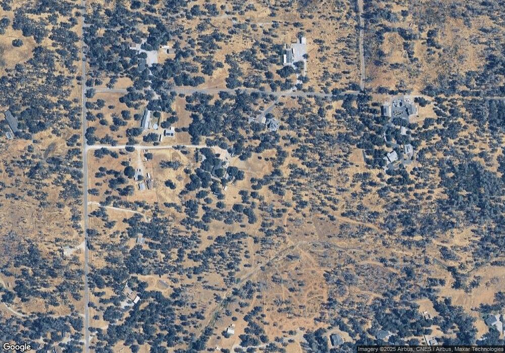
Map
Nearby Homes
- 0 Manzanillo Way Unit 25-2218
- 0 Manzanillo Way Unit 22-4418
- 13911 Blue Ridge Dr
- 14058 Windfall Dr
- 14020 Windfall Dr
- 20700 Bernard Way
- 20119 Sunrise Dr
- 0 Bear Mountain Rd Unit 25-3999
- 13592 Old Oregon Trail
- NSA Bernard Way
- 0 Bernard Way
- 19924 Woodchuck Trail
- 19902 Little Acres Ln
- 0 Spring Lake St
- 13160 Bear Mountain Rd
- 0 Mylindas Way
- 14018 Highview Trail
- 13497 Tierra Heights Rd
- 14364 Sundown Dr
- 13303 Intermountain Rd
- 20537 Terri Lee Terrace
- 0 Terri Lee Terrace
- 13721 Kitty Hawk Ln
- 20528 Terri Lee Terrace
- 20590 Terri Lee Terrace
- 13693 Kitty Hawk Ln
- 13883 Kitty Hawk Ln Unit 1
- 0 Kitty Hawk Ln
- 0 Gloria Terrace
- 13764 Kitty Hawk Ln
- 13624 Bear Mountain Rd
- 00 Peace Valley Ln
- 13777 Peace Valley Ln
- 13670 Kittyhawk Ln
- 13670 Kitty Hawk Ln
- 0 Peace Valley Ln
- 13708 Kitty Hawk Ln
- 13550 Bear Mountain Rd
- 13650 Kitty Hawk Ln
- 13636 Bear Mountain Rd