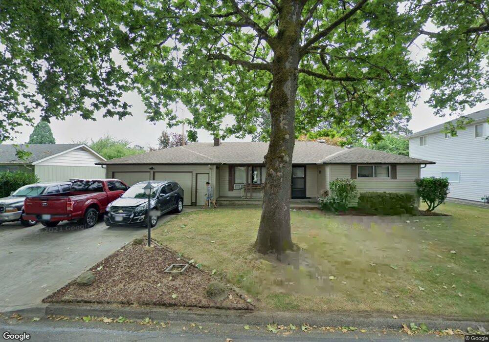
2057 Grove St Eugene, OR 97404
River Road NeighborhoodEstimated Value: $384,000 - $418,000
3
Beds
2
Baths
1,301
Sq Ft
$307/Sq Ft
Est. Value
About This Home
This home is located at 2057 Grove St, Eugene, OR 97404 and is currently estimated at $399,437, approximately $307 per square foot. 2057 Grove St is a home located in Lane County with nearby schools including Howard Elementary School, Kelly Middle School, and North Eugene High School.
Ownership History
Date
Name
Owned For
Owner Type
Purchase Details
Closed on
Feb 23, 2023
Sold by
Van Sickle Family Trust
Bought by
Rogers Marty M and Rogers Brooklynn
Current Estimated Value
Home Financials for this Owner
Home Financials are based on the most recent Mortgage that was taken out on this home.
Original Mortgage
$304,486
Outstanding Balance
$294,273
Interest Rate
6.15%
Mortgage Type
FHA
Estimated Equity
$105,164
Purchase Details
Closed on
Sep 24, 1999
Sold by
Vansickle David and Vansickle Sharon
Bought by
The Vansickle Family Trust
Create a Home Valuation Report for This Property
The Home Valuation Report is an in-depth analysis detailing your home's value as well as a comparison with similar homes in the area
Home Values in the Area
Average Home Value in this Area
Purchase History
| Date | Buyer | Sale Price | Title Company |
|---|---|---|---|
| Rogers Marty M | $315,000 | Western Title | |
| The Vansickle Family Trust | -- | -- |
Source: Public Records
Mortgage History
| Date | Status | Borrower | Loan Amount |
|---|---|---|---|
| Open | Rogers Marty M | $304,486 |
Source: Public Records
Tax History Compared to Growth
Tax History
| Year | Tax Paid | Tax Assessment Tax Assessment Total Assessment is a certain percentage of the fair market value that is determined by local assessors to be the total taxable value of land and additions on the property. | Land | Improvement |
|---|---|---|---|---|
| 2025 | $3,304 | $202,411 | -- | -- |
| 2024 | $3,270 | $196,516 | -- | -- |
| 2023 | $3,270 | $190,793 | $0 | $0 |
| 2022 | $3,075 | $185,236 | $0 | $0 |
| 2021 | $2,857 | $179,841 | $0 | $0 |
| 2020 | $2,880 | $174,603 | $0 | $0 |
| 2019 | $2,778 | $169,518 | $0 | $0 |
| 2018 | $2,588 | $159,787 | $0 | $0 |
| 2017 | $2,450 | $159,787 | $0 | $0 |
| 2016 | $2,306 | $155,133 | $0 | $0 |
| 2015 | $2,226 | $150,615 | $0 | $0 |
| 2014 | $2,147 | $146,228 | $0 | $0 |
Source: Public Records
Map
Nearby Homes
- 725 Greg Way
- 1745 Grove St
- 1764 Dalton Dr
- 1880 Manihi Dr
- 1742 Escalante St
- 1063 Boyce St
- 2556 Dover Dr
- 193 Santa Clara Ave
- 2110 Labona Dr
- 1765 Labona Dr
- 2563 York St
- 1708 River Rd
- 507 Littlewood Ln
- 305 Irving Rd
- 1310 David Ave
- 1306 David Ave
- 2721 La Darrah St
- 1621 Skipper Ave
- 0 N Park Alley
- 2451 Bowtie Ave