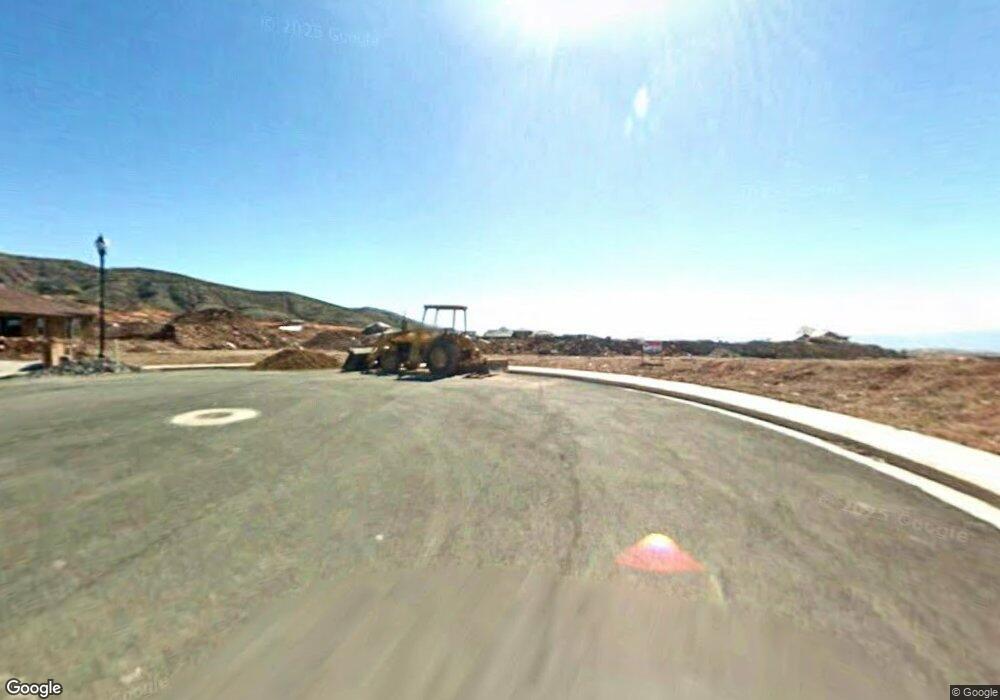
2057 S Stable Cir Washington, UT 84780
Estimated Value: $623,000 - $716,000
4
Beds
3
Baths
2,240
Sq Ft
$297/Sq Ft
Est. Value
About This Home
This home is located at 2057 S Stable Cir, Washington, UT 84780 and is currently estimated at $665,999, approximately $297 per square foot. 2057 S Stable Cir is a home located in Washington County with nearby schools including Horizon School, Washington Fields Intermediate School, and Crimson Cliffs Middle School.
Ownership History
Date
Name
Owned For
Owner Type
Purchase Details
Closed on
Jan 19, 2024
Sold by
Hess Renee A
Bought by
Renee Hess Trust and Hess
Current Estimated Value
Purchase Details
Closed on
Aug 3, 2011
Sold by
Sky Country Properties Llc
Bought by
Hess Steven L and Hess Renee A
Purchase Details
Closed on
Jan 20, 2011
Sold by
Anb Venture Llc
Bought by
Sky Country Properties Llc
Purchase Details
Closed on
Oct 13, 2006
Sold by
Excel Land Development Inc
Bought by
Ral Land Investments Inc
Purchase Details
Closed on
Dec 6, 2005
Sold by
A 1 Equity Builders Inc
Bought by
Excel Land Development Inc
Purchase Details
Closed on
Nov 10, 2005
Sold by
Excel Land Development Inc
Bought by
A-1 Equity Builders Inc
Create a Home Valuation Report for This Property
The Home Valuation Report is an in-depth analysis detailing your home's value as well as a comparison with similar homes in the area
Purchase History
| Date | Buyer | Sale Price | Title Company |
|---|---|---|---|
| Renee Hess Trust | -- | None Listed On Document | |
| Hess Steven L | -- | Southern Utah Title | |
| Sky Country Properties Llc | -- | Southern Utah Title | |
| Ral Land Investments Inc | -- | Southern Utah Title Co | |
| Excel Land Development Inc | -- | Accommodation | |
| A-1 Equity Builders Inc | -- | Southern Utah Title Co |
Source: Public Records
Tax History Compared to Growth
Tax History
| Year | Tax Paid | Tax Assessment Tax Assessment Total Assessment is a certain percentage of the fair market value that is determined by local assessors to be the total taxable value of land and additions on the property. | Land | Improvement |
|---|---|---|---|---|
| 2025 | $2,405 | $364,100 | $126,500 | $237,600 |
| 2023 | $2,399 | $359,975 | $132,000 | $227,975 |
| 2022 | $3,044 | $351,615 | $101,750 | $249,865 |
| 2021 | $2,091 | $439,200 | $115,000 | $324,200 |
| 2020 | $1,946 | $386,500 | $105,000 | $281,500 |
| 2019 | $1,883 | $365,200 | $90,000 | $275,200 |
| 2018 | $1,841 | $184,580 | $0 | $0 |
| 2017 | $1,710 | $166,815 | $0 | $0 |
| 2016 | $1,797 | $162,305 | $0 | $0 |
| 2015 | $1,794 | $155,925 | $0 | $0 |
| 2014 | $1,787 | $156,310 | $0 | $0 |
Source: Public Records
Map
Nearby Homes
- 1067 E Silver Falls Dr
- 2050 S Stable Cir
- 2050 S Stable Cir Unit 36
- 1166 E Colt Ave
- 1033 Coyote Loop
- 1089 Coyote Loop
- 1226 E Pony Trail
- 2098 S Pinto St
- 2114 S Pinto St Unit 76
- 2334 S Last Chance Dr
- 1321 E Pony Way
- 2056 S Great Basin Dr
- 1301 E Blue Sky Dr
- 922 E Silver Shadows Dr
- 2072 S Pony Way
- 2091 S Pony Way
- 1279 E Libra St
- 1387 Dome Trail Rd
- 1344 E Andromeda St
- 817 E Sonoran Dr
- 2043 S Stable Cir
- 2043 S Stable Cir Unit LOT 38
- 1071 E Corral Way
- 2060 Arabian Way E
- 2074 S Arabian Way Unit 42
- 2050 S Arabian Way Unit 41
- 1089 E Corral Way
- 4147 E Corral Way
- 4183 E Corral Way
- 1089 E Corral Way Unit Lot 71
- 2031 S Stable Cir
- 2138 Arabian Way E
- 0 S Stable Cir
- Lot 39 S Stable Cir
- Lot 37 S Stable Cir
- Lot 36 S Stable Cir
- 2034 S Stable Cir
- 2057 S Mustang St
- 2045 S Mustang St
- 1066 E Corral Way
