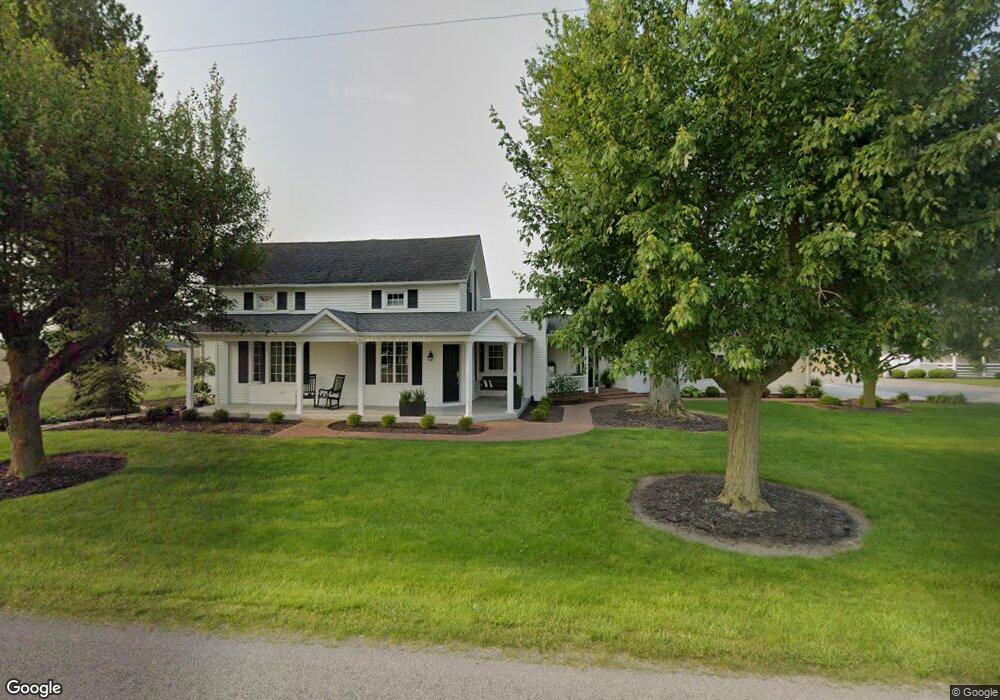
20578 Convoy Rd Middle Point, OH 45863
Estimated Value: $221,000 - $303,832
3
Beds
1
Bath
3,106
Sq Ft
$86/Sq Ft
Est. Value
About This Home
This home is located at 20578 Convoy Rd, Middle Point, OH 45863 and is currently estimated at $267,958, approximately $86 per square foot. 20578 Convoy Rd is a home located in Van Wert County with nearby schools including Lincolnview Elementary School and Lincolnview Junior/Senior High School.
Ownership History
Date
Name
Owned For
Owner Type
Purchase Details
Closed on
Oct 16, 2024
Sold by
Duvall Farms Inc
Bought by
Duvall Stephen D and Duvall Cynthia J
Current Estimated Value
Purchase Details
Closed on
Jun 1, 2005
Sold by
Duvall Stephen D and Duvall Cynthia J
Bought by
Duvall Farms Inc
Purchase Details
Closed on
Apr 30, 1993
Bought by
Duvall Stephen D and Duvall Cynthia
Create a Home Valuation Report for This Property
The Home Valuation Report is an in-depth analysis detailing your home's value as well as a comparison with similar homes in the area
Purchase History
| Date | Buyer | Sale Price | Title Company |
|---|---|---|---|
| Duvall Stephen D | -- | None Listed On Document | |
| Duvall Farms Inc | -- | None Available | |
| Duvall Stephen D | $15,000 | -- |
Source: Public Records
Tax History
| Year | Tax Paid | Tax Assessment Tax Assessment Total Assessment is a certain percentage of the fair market value that is determined by local assessors to be the total taxable value of land and additions on the property. | Land | Improvement |
|---|---|---|---|---|
| 2025 | $2,360 | $74,860 | $7,700 | $67,160 |
| 2024 | $2,360 | $74,860 | $7,700 | $67,160 |
| 2023 | $2,348 | $74,860 | $7,700 | $67,160 |
| 2022 | $2,236 | $50,970 | $5,950 | $45,020 |
| 2021 | $2,209 | $50,970 | $5,950 | $45,020 |
| 2020 | $2,204 | $50,970 | $5,950 | $45,020 |
| 2019 | $1,889 | $47,110 | $5,210 | $41,900 |
| 2018 | $1,827 | $47,110 | $5,210 | $41,900 |
| 2017 | $1,802 | $47,110 | $5,210 | $41,900 |
| 2016 | $1,476 | $43,480 | $5,040 | $38,440 |
| 2015 | $1,454 | $43,480 | $5,040 | $38,440 |
| 2014 | $1,360 | $39,260 | $5,040 | $34,220 |
| 2013 | $1,510 | $36,250 | $5,040 | $31,210 |
Source: Public Records
Map
Nearby Homes
- 0 Road 28
- 9750 Middle Point Rd
- 608 N Adams St
- 17089 Feasby Wisener Rd
- 180 3rd St
- 9450 Gamble Rd
- 537 / 539 Toomey
- 709 W 4th St
- 702 N Main St
- 610 N Washington St
- 201 E 5th St
- 628 N Pierce St
- 221 S Main St
- 424 S Canal St
- 821 E 3rd St
- 19195 State Rd
- 483 S Franklin St
- 1000 Colettas Way
- 827 S Washington St
- 308 S Jefferson St
- 20645 Convoy Rd
- 20443 Convoy Rd
- 5731 Converse Roselm Rd
- 6408 Converse Roselm Rd
- 6010 Middle Point Wetzel Rd
- 5626 Converse Roselm Rd
- 6383 Middle Point Wetzel Rd
- 21109 Sterling Rd
- 19922 Convoy Rd
- 6615 Converse Roselm Rd
- 19846 Convoy Rd
- 6542 Middle Point Wetzel Rd
- 6590 Middle Point Wetzel Rd
- 5480 Middle Point Wetzel Rd
- 6647 Middle Point Wetzel Rd
- 21405 Convoy Rd
- 6813 Converse Roselm Rd
- 5229 Converse Roselm Rd
- 20347 Church Rd
Your Personal Tour Guide
Ask me questions while you tour the home.