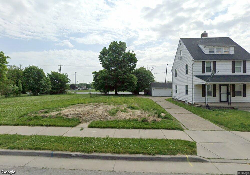
2058 Evansdale Ave Toledo, OH 43607
Ottawa NeighborhoodEstimated Value: $81,147
3
Beds
2
Baths
1,308
Sq Ft
$62/Sq Ft
Est. Value
About This Home
This home is located at 2058 Evansdale Ave, Toledo, OH 43607 and is currently estimated at $81,147, approximately $62 per square foot. 2058 Evansdale Ave is a home located in Lucas County with nearby schools including Old Orchard Elementary School, Start High School, and Central Academy Of Ohio.
Ownership History
Date
Name
Owned For
Owner Type
Purchase Details
Closed on
Aug 3, 2021
Sold by
Wintergarden Investments Llc
Bought by
Ohlates Of St Francis De Sales High Scho
Current Estimated Value
Purchase Details
Closed on
Dec 28, 2010
Sold by
Kraft Daniel G
Bought by
Wintergarden Investments Llc
Purchase Details
Closed on
Sep 27, 1994
Sold by
Garvin John T
Bought by
Kraft Daniel G
Home Financials for this Owner
Home Financials are based on the most recent Mortgage that was taken out on this home.
Original Mortgage
$45,300
Interest Rate
8.62%
Mortgage Type
New Conventional
Create a Home Valuation Report for This Property
The Home Valuation Report is an in-depth analysis detailing your home's value as well as a comparison with similar homes in the area
Home Values in the Area
Average Home Value in this Area
Purchase History
| Date | Buyer | Sale Price | Title Company |
|---|---|---|---|
| Ohlates Of St Francis De Sales High Scho | $62,000 | None Available | |
| Wintergarden Investments Llc | -- | Attorney | |
| Kraft Daniel G | $47,700 | -- |
Source: Public Records
Mortgage History
| Date | Status | Borrower | Loan Amount |
|---|---|---|---|
| Previous Owner | Kraft Daniel G | $45,300 |
Source: Public Records
Tax History Compared to Growth
Tax History
| Year | Tax Paid | Tax Assessment Tax Assessment Total Assessment is a certain percentage of the fair market value that is determined by local assessors to be the total taxable value of land and additions on the property. | Land | Improvement |
|---|---|---|---|---|
| 2024 | $62 | $420 | $420 | -- |
| 2023 | $138 | $315 | $315 | $0 |
| 2022 | $138 | $315 | $315 | $0 |
| 2021 | $1,457 | $21,350 | $5,110 | $16,240 |
| 2020 | $1,432 | $18,445 | $4,375 | $14,070 |
| 2019 | $1,392 | $18,445 | $4,375 | $14,070 |
| 2018 | $1,406 | $18,445 | $4,375 | $14,070 |
| 2017 | $1,431 | $18,025 | $4,270 | $13,755 |
| 2016 | $1,430 | $51,500 | $12,200 | $39,300 |
| 2015 | $1,417 | $51,500 | $12,200 | $39,300 |
| 2014 | $1,165 | $18,030 | $4,270 | $13,760 |
| 2013 | $1,165 | $18,030 | $4,270 | $13,760 |
Source: Public Records
Map
Nearby Homes
- 2127 Perth St
- 2019 Kensington Rd
- 2547 Greenway St
- 1735 Perth St
- 1771 Kensington Rd
- 2041 Richmond Rd
- 2003 Farnham Rd
- 1723 Potomac Dr
- 1423 Roosevelt Ave
- 2000 Oakwood Ave
- 1329 Parkside Blvd
- 1929 Foster Ave
- 1513 Waverly Ave
- 2145 Dorr St
- 1318 Addington Rd
- 2033 Crosswell Place
- 2334 Torrey Hill Dr
- 2114 Parkdale Ave
- 2340 Torrey Hill Dr
- 2289 Upton Ave
- 2054 Evansdale Ave
- 2104 Evansdale Ave
- 2050 Evansdale Ave
- 2110 Evansdale Ave
- 2046 Evansdale Ave
- 2118 Evansdale Ave
- 2042 Evansdale Ave
- 2059 Evansdale Ave
- 2055 Evansdale Ave
- 2103 Evansdale Ave
- 2051 Evansdale Ave
- 2109 Evansdale Ave
- 2038 Evansdale Ave
- 2047 Evansdale Ave
- 2115 Evansdale Ave
- 2043 Evansdale Ave
- 2044 Evansdale Ave
- 2039 Evansdale Ave
- 2119 Evansdale Ave
- 2058 Perth St