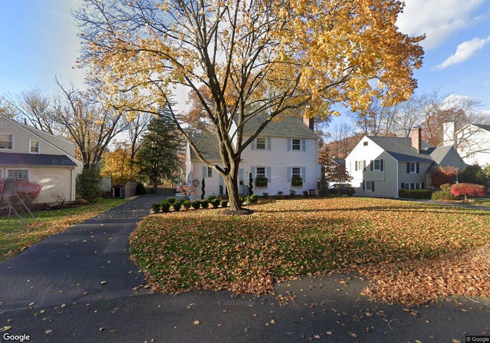
2059 Hill Top Rd Scotch Plains, NJ 07076
Estimated Value: $570,830 - $762,000
--
Bed
--
Bath
1,617
Sq Ft
$404/Sq Ft
Est. Value
About This Home
This home is located at 2059 Hill Top Rd, Scotch Plains, NJ 07076 and is currently estimated at $652,708, approximately $403 per square foot. 2059 Hill Top Rd is a home located in Union County with nearby schools including William J. McGinn Elementary School, Terrill Middle School, and Scotch Plains-Fanwood High School.
Ownership History
Date
Name
Owned For
Owner Type
Purchase Details
Closed on
Jun 13, 2016
Sold by
Jeanne C Crofton
Bought by
Isolda Paul and Isolda Genevieve
Current Estimated Value
Home Financials for this Owner
Home Financials are based on the most recent Mortgage that was taken out on this home.
Original Mortgage
$215,000
Outstanding Balance
$171,283
Interest Rate
3.6%
Estimated Equity
$481,425
Create a Home Valuation Report for This Property
The Home Valuation Report is an in-depth analysis detailing your home's value as well as a comparison with similar homes in the area
Home Values in the Area
Average Home Value in this Area
Purchase History
| Date | Buyer | Sale Price | Title Company |
|---|---|---|---|
| Isolda Paul | -- | -- |
Source: Public Records
Mortgage History
| Date | Status | Borrower | Loan Amount |
|---|---|---|---|
| Open | Isolda Paul | $215,000 | |
| Closed | Isolda Paul | -- |
Source: Public Records
Tax History Compared to Growth
Tax History
| Year | Tax Paid | Tax Assessment Tax Assessment Total Assessment is a certain percentage of the fair market value that is determined by local assessors to be the total taxable value of land and additions on the property. | Land | Improvement |
|---|---|---|---|---|
| 2025 | $11,650 | $99,000 | $33,200 | $65,800 |
| 2024 | $11,307 | $99,000 | $33,200 | $65,800 |
| 2023 | $11,307 | $99,000 | $33,200 | $65,800 |
| 2022 | $11,172 | $99,000 | $33,200 | $65,800 |
| 2021 | $10,849 | $96,300 | $33,200 | $63,100 |
| 2020 | $10,797 | $96,300 | $33,200 | $63,100 |
| 2019 | $10,717 | $96,300 | $33,200 | $63,100 |
| 2018 | $10,537 | $96,300 | $33,200 | $63,100 |
| 2017 | $10,303 | $96,300 | $33,200 | $63,100 |
| 2016 | $9,937 | $94,700 | $33,200 | $61,500 |
| 2015 | $9,524 | $94,700 | $33,200 | $61,500 |
| 2014 | $9,202 | $94,700 | $33,200 | $61,500 |
Source: Public Records
Map
Nearby Homes
- 2116 Newark Ave
- 1933 Mary Ellen Ln
- 1933 W Broad St
- 2154 W Broad St
- 119 Lamberts Mill Rd
- 2212 Shady Ln
- 2 Brookside Ct
- 187 King St
- 2219 North Ave Unit 6
- 2314 Longfellow Ave
- 345 La Grande Ave
- 120 S Martine Ave
- 5 Robin Rd
- 1466 Lamberts Mill Rd
- 314 Highgate Ave
- 21 Old South Ave
- 40 1st St
- 350 W Dudley Ave
- 524 Edgar Rd
- 2286 Stocker Ln
- 2053 Hill Top Rd
- 2065 Hill Top Rd
- 1215 Maple Hill Rd
- 1202 Woodside Rd
- 2071 Hill Top Rd
- 1196 Woodside Rd
- 1209 Maple Hill Rd
- 2060 Hill Top Rd
- 2054 Hill Top Rd
- 2066 Hill Top Rd
- 2041 Hill Top Rd
- 1192 Woodside Rd
- 1203 Maple Hill Rd
- 2070 Hill Top Rd
- 1205 Woodside Rd
- 1211 Woodside Rd
- 2058 Meadowview Rd
- 1208 Maple Hill Rd
- 1234 Maple Hill Rd
- 1199 Woodside Rd