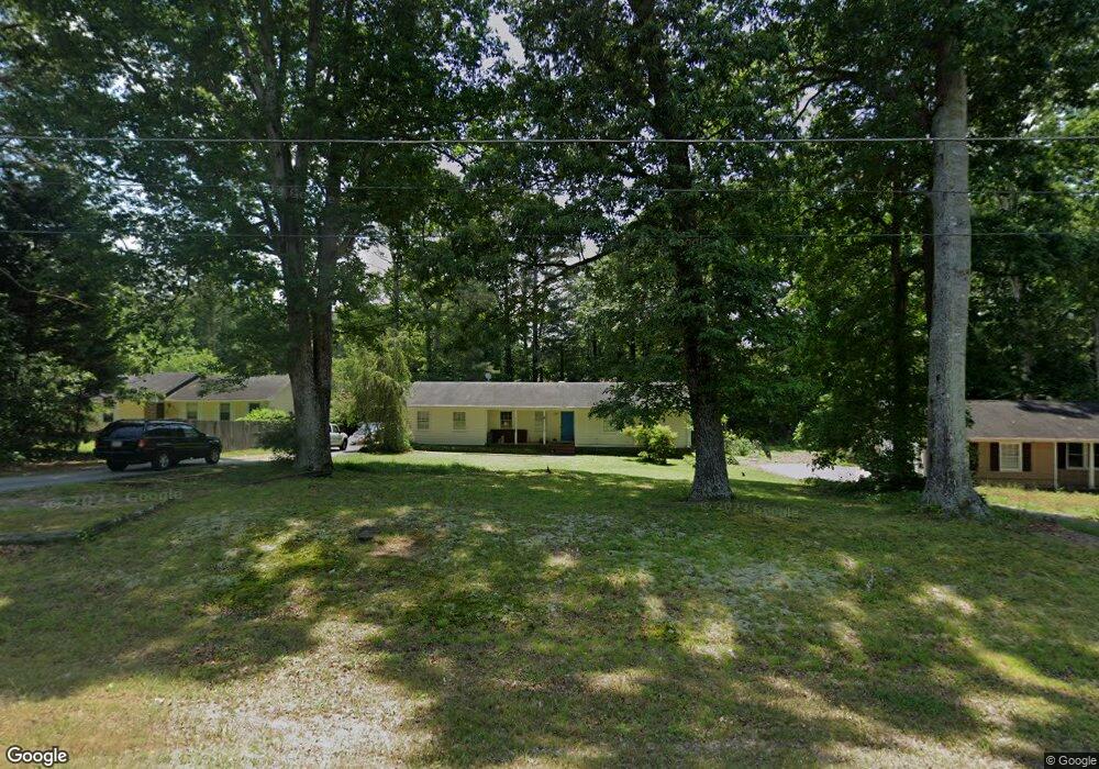
2059 McDaniels Brg Rd SW Unit 7 Lilburn, GA 30047
Estimated Value: $291,000 - $311,112
3
Beds
2
Baths
1,340
Sq Ft
$224/Sq Ft
Est. Value
About This Home
This home is located at 2059 McDaniels Brg Rd SW Unit 7, Lilburn, GA 30047 and is currently estimated at $300,278, approximately $224 per square foot. 2059 McDaniels Brg Rd SW Unit 7 is a home located in Gwinnett County with nearby schools including Head Elementary School, Five Forks Middle School, and Brookwood High School.
Ownership History
Date
Name
Owned For
Owner Type
Purchase Details
Closed on
Sep 28, 2006
Sold by
Elosge Henry E
Bought by
Sipsy Kenneth R
Current Estimated Value
Home Financials for this Owner
Home Financials are based on the most recent Mortgage that was taken out on this home.
Original Mortgage
$83,200
Outstanding Balance
$48,858
Interest Rate
6.36%
Mortgage Type
New Conventional
Estimated Equity
$251,420
Create a Home Valuation Report for This Property
The Home Valuation Report is an in-depth analysis detailing your home's value as well as a comparison with similar homes in the area
Home Values in the Area
Average Home Value in this Area
Purchase History
| Date | Buyer | Sale Price | Title Company |
|---|---|---|---|
| Sipsy Kenneth R | $104,000 | -- |
Source: Public Records
Mortgage History
| Date | Status | Borrower | Loan Amount |
|---|---|---|---|
| Open | Sipsy Kenneth R | $83,200 |
Source: Public Records
Tax History Compared to Growth
Tax History
| Year | Tax Paid | Tax Assessment Tax Assessment Total Assessment is a certain percentage of the fair market value that is determined by local assessors to be the total taxable value of land and additions on the property. | Land | Improvement |
|---|---|---|---|---|
| 2025 | -- | $114,320 | $22,200 | $92,120 |
| 2024 | -- | $105,480 | $22,200 | $83,280 |
| 2023 | $3,845 | $98,520 | $26,400 | $72,120 |
| 2022 | $2,529 | $91,160 | $26,400 | $64,760 |
| 2021 | $2,529 | $61,480 | $16,800 | $44,680 |
| 2020 | $2,542 | $61,480 | $16,800 | $44,680 |
| 2019 | $2,215 | $59,000 | $16,800 | $42,200 |
| 2018 | $2,215 | $54,720 | $14,800 | $39,920 |
| 2016 | $2,220 | $47,560 | $14,800 | $32,760 |
| 2015 | $2,039 | $42,520 | $11,200 | $31,320 |
| 2014 | $2,048 | $42,520 | $11,200 | $31,320 |
Source: Public Records
Map
Nearby Homes
- 1905 Embassy Walk Ln
- 4000 Embassy Way
- 2047 Cliffton Terrace
- 1697 Paxton Dr SW
- 4353 Pond Edge Rd
- 3588 Kelin Ct SW
- 3728 Kelin Ct SW
- 4268 Rocky Ledge Way
- 3594 Hedgestone Ln
- 1776 Bear Cave SW
- 1893 Hedgestone Ct
- 2546 Tullamore Cir
- 3725 Hunting Ridge Dr SW
- 3697 Chinaberry Ln
- 3963 Ferncliff Rd
- 3964 Ferncliff Rd Unit 3
- 4107 Signal Ridge SW
- 1732 Beauregard Dr SW
- 2069 McDaniels Bridge Rd SW
- 2049 McDaniels Bridge Rd SW
- 0 McDaniels Bridge Rd SW Unit 7283448
- 0 McDaniels Bridge Rd SW Unit 8409079
- 2079 McDaniels Bridge Rd SW
- 2076 Veracruz Dr
- 2035 Kensington Ct SW Unit 1
- 2035 Kensington Ct SW Unit 1/3
- 2035 Kensington Ct SW
- 2066 Veracruz Dr Unit 6
- 2039 McDaniels Bridge Rd SW
- 2048 McDaniels Bridge Rd SW
- 2096 Veracruz Dr Unit 6
- 2089 McDaniels Bridge Rd SW
- 2038 McDaniels Bridge Rd SW
- 2044 Kensington Ct SW
- 2056 Veracruz Dr
- 2028 McDaniels Bridge Rd SW
- 2038 Kensington Ct SW
- 2106 Veracruz Dr