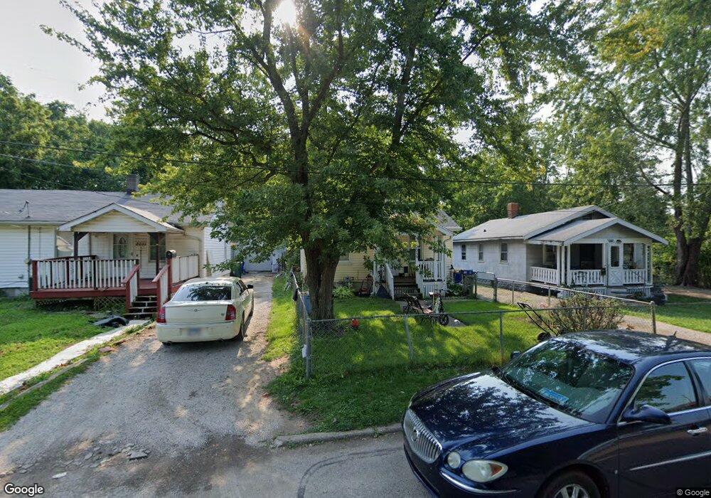
2059 N Maple Ave Decatur, IL 62526
Neighborhood Empowerment NeighborhoodEstimated Value: $34,000 - $52,000
1
Bed
1
Bath
1,056
Sq Ft
$39/Sq Ft
Est. Value
About This Home
This home is located at 2059 N Maple Ave, Decatur, IL 62526 and is currently estimated at $41,534, approximately $39 per square foot. 2059 N Maple Ave is a home located in Macon County with nearby schools including Parsons Elementary School and Stephen Decatur Middle School.
Ownership History
Date
Name
Owned For
Owner Type
Purchase Details
Closed on
Apr 18, 2022
Sold by
Sheets Deborah S
Bought by
Horne Kenyadda
Current Estimated Value
Purchase Details
Closed on
Jul 30, 2021
Sold by
Mason Gerald W
Bought by
Sheets Deborah
Purchase Details
Closed on
Dec 3, 2013
Sold by
Shelly Wanda
Bought by
Mason Gerald W
Purchase Details
Closed on
Jan 19, 2004
Purchase Details
Closed on
Jan 1, 2004
Purchase Details
Closed on
Jan 19, 2001
Sold by
Sheets Jamie
Bought by
Shelly Wanda
Create a Home Valuation Report for This Property
The Home Valuation Report is an in-depth analysis detailing your home's value as well as a comparison with similar homes in the area
Home Values in the Area
Average Home Value in this Area
Purchase History
| Date | Buyer | Sale Price | Title Company |
|---|---|---|---|
| Horne Kenyadda | -- | None Listed On Document | |
| Sheets Deborah | $10,000 | None Available | |
| Mason Gerald W | $10,000 | None Available | |
| -- | -- | -- | |
| -- | $10,000 | -- | |
| Shelly Wanda | -- | None Available |
Source: Public Records
Tax History Compared to Growth
Tax History
| Year | Tax Paid | Tax Assessment Tax Assessment Total Assessment is a certain percentage of the fair market value that is determined by local assessors to be the total taxable value of land and additions on the property. | Land | Improvement |
|---|---|---|---|---|
| 2024 | $733 | $7,571 | $442 | $7,129 |
| 2023 | $727 | $7,303 | $426 | $6,877 |
| 2022 | $685 | $6,694 | $394 | $6,300 |
| 2021 | $0 | $6,252 | $368 | $5,884 |
| 2020 | $0 | $5,961 | $350 | $5,611 |
| 2019 | $0 | $5,961 | $350 | $5,611 |
| 2018 | $0 | $5,162 | $197 | $4,965 |
| 2017 | $0 | $5,300 | $202 | $5,098 |
| 2016 | $0 | $5,354 | $204 | $5,150 |
| 2015 | -- | $6,131 | $1,072 | $5,059 |
| 2014 | -- | $6,070 | $1,061 | $5,009 |
| 2013 | $601 | $6,298 | $1,101 | $5,197 |
Source: Public Records
Map
Nearby Homes
- 1915 N Monroe St
- 1653 N Maple Ave
- 644 W Division St
- 933 W Division St
- 1545 N Monroe St
- 1504 N Monroe St
- 230 W Garfield Ave
- 2480 N Graceland Ave
- 837 W Grand Ave
- 1568 N Main St
- 1558 N Main St
- 2273 N Fairview Ave
- 1245 N Union St
- 240 E Olive St
- 1535 N Mcclellan Ave
- 1319 W Waggoner St
- 1530 W Cushing St
- 12 East Dr
- 1625 W Garfield Ave
- 141 E Packard St
- 2067 N Maple Ave
- 2051 N Maple Ave
- 2034 N Maple Ave
- 2080 N Maple Ave
- 849 W Harrison Ave
- 2048 N Van Dyke St
- 837 W Harrison Ave
- 2082 N Maple Ave
- 1999 N Maple Ave
- 2004 N Maple Ave
- 2060 N Maple Ave
- 2044 N Maple Ave
- 2064 N Maple Ave
- 861 W Harrison Ave
- 855 W Harrison Ave
- 757 W Harrison Ave
- 759 W Harrison Ave
- 2006 N Maple Ave
- 863 W Harrison Ave
- 2012 N Van Dyke St