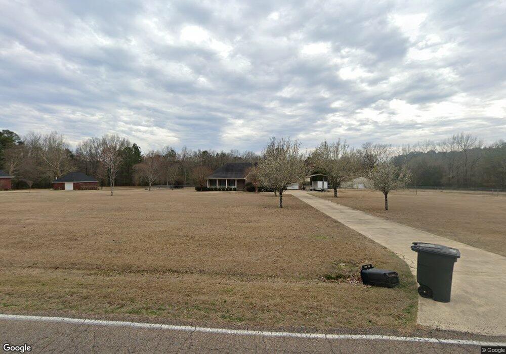
2059 Oswalt Rd Columbus, MS 39702
Estimated Value: $249,000 - $367,777
--
Bed
--
Bath
2,985
Sq Ft
$103/Sq Ft
Est. Value
About This Home
This home is located at 2059 Oswalt Rd, Columbus, MS 39702 and is currently estimated at $308,444, approximately $103 per square foot. 2059 Oswalt Rd is a home with nearby schools including Columbus Middle School and Columbus High School.
Ownership History
Date
Name
Owned For
Owner Type
Purchase Details
Closed on
Dec 29, 2020
Sold by
Hemphill Christopher D
Bought by
Walker Lawrence P
Current Estimated Value
Purchase Details
Closed on
Nov 12, 2019
Sold by
Walker Lawrence P
Bought by
Walker Larry D
Purchase Details
Closed on
Apr 6, 2006
Sold by
Digigilia Terry M and Digigilia Jackie C
Bought by
Walker Lawernce P
Create a Home Valuation Report for This Property
The Home Valuation Report is an in-depth analysis detailing your home's value as well as a comparison with similar homes in the area
Home Values in the Area
Average Home Value in this Area
Purchase History
| Date | Buyer | Sale Price | Title Company |
|---|---|---|---|
| Walker Lawrence P | -- | None Listed On Document | |
| Walker Lawrence P | -- | None Listed On Document | |
| Walker Larry D | -- | -- | |
| Walker Larry D | -- | -- | |
| Walker Lawernce P | -- | -- |
Source: Public Records
Tax History Compared to Growth
Tax History
| Year | Tax Paid | Tax Assessment Tax Assessment Total Assessment is a certain percentage of the fair market value that is determined by local assessors to be the total taxable value of land and additions on the property. | Land | Improvement |
|---|---|---|---|---|
| 2025 | $2,189 | $23,909 | $0 | $0 |
| 2024 | $2,201 | $24,232 | $0 | $0 |
| 2023 | $2,058 | $22,845 | $0 | $0 |
| 2022 | $3,314 | $34,268 | $0 | $0 |
| 2021 | $2,774 | $29,787 | $0 | $0 |
| 2020 | $2,622 | $29,787 | $0 | $0 |
| 2019 | $0 | $29,552 | $0 | $0 |
| 2018 | $0 | $19,637 | $0 | $0 |
| 2017 | -- | $19,637 | $0 | $0 |
| 2016 | -- | $19,637 | $0 | $0 |
| 2015 | $2,608 | $30,078 | $0 | $0 |
| 2014 | $2,608 | $30,078 | $0 | $0 |
Source: Public Records
Map
Nearby Homes
- 186 Wind Chase Dr
- 9 Monticello Cir
- 116 Kings Path
- 524 Jones Dr
- 836 Oswalt Rd
- 4 Stringer Ln
- 669 Jones Dr
- 338 Rogers Way
- 358 Rogers Way
- 2654 Yorkville Rd E
- 479 Bryant Rd
- 187 Jones Dr
- 17 Paige Cove
- 49 Freeman Dr
- Ms-69
- 0 0 Hwy 69 S
- 102 Livingston Ln
- 0 New Hope Rd Unit 25-2493
- 732 Thornton Dr
- 0 Yorkville Rd E