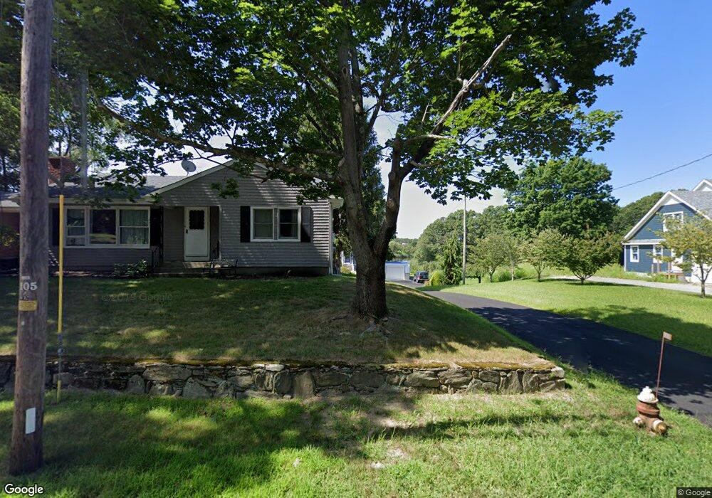
2059 Read St Somerset, MA 02726
Brayton Point NeighborhoodEstimated Value: $445,000 - $704,000
2
Beds
1
Bath
936
Sq Ft
$621/Sq Ft
Est. Value
About This Home
This home is located at 2059 Read St, Somerset, MA 02726 and is currently estimated at $581,401, approximately $621 per square foot. 2059 Read St is a home located in Bristol County with nearby schools including South Elementary School, Somerset Middle School, and Swansea Wood School.
Ownership History
Date
Name
Owned For
Owner Type
Purchase Details
Closed on
Aug 29, 2020
Sold by
Macedonio Lisa
Bought by
Macedonio Nicholas J
Current Estimated Value
Purchase Details
Closed on
Apr 3, 2009
Sold by
Funk Robert W and Flagstar Bk
Bought by
Flagstar Bk
Purchase Details
Closed on
May 11, 2006
Sold by
Santos Alserina C Est and Quental
Bought by
Duff Jamie M
Create a Home Valuation Report for This Property
The Home Valuation Report is an in-depth analysis detailing your home's value as well as a comparison with similar homes in the area
Home Values in the Area
Average Home Value in this Area
Purchase History
| Date | Buyer | Sale Price | Title Company |
|---|---|---|---|
| Macedonio Nicholas J | -- | None Available | |
| Macedonio Nicholas J | -- | None Available | |
| Flagstar Bk | $229,900 | -- | |
| Flagstar Bk | $229,900 | -- | |
| Duff Jamie M | $229,000 | -- | |
| Duff Jamie M | $229,000 | -- |
Source: Public Records
Mortgage History
| Date | Status | Borrower | Loan Amount |
|---|---|---|---|
| Previous Owner | Duff Jamie M | $192,000 | |
| Previous Owner | Duff Jamie M | $190,000 |
Source: Public Records
Tax History Compared to Growth
Tax History
| Year | Tax Paid | Tax Assessment Tax Assessment Total Assessment is a certain percentage of the fair market value that is determined by local assessors to be the total taxable value of land and additions on the property. | Land | Improvement |
|---|---|---|---|---|
| 2025 | $8,255 | $620,700 | $194,200 | $426,500 |
| 2024 | $7,642 | $597,500 | $194,200 | $403,300 |
| 2023 | $6,741 | $531,600 | $176,500 | $355,100 |
| 2022 | $6,265 | $471,400 | $153,700 | $317,700 |
| 2021 | $6,003 | $408,900 | $139,800 | $269,100 |
| 2020 | $5,258 | $373,200 | $139,800 | $233,400 |
| 2019 | $6,583 | $360,700 | $162,900 | $197,800 |
| 2018 | $5,760 | $339,600 | $162,900 | $176,700 |
| 2017 | $0 | $330,500 | $162,900 | $167,600 |
| 2016 | $5,787 | $330,500 | $162,900 | $167,600 |
| 2015 | $5,849 | $337,100 | $184,200 | $152,900 |
| 2014 | $8,399 | $347,800 | $184,200 | $163,600 |
Source: Public Records
Map
Nearby Homes
- 8 2nd St
- 24 Front St
- 30 Front St
- 34 Base Lodge Ln
- 0 Hortonville Rd Unit 73242268
- 675 Lees River Ave
- 19 Richard Rd
- 197 Alberta Ave
- 33 Rhinecliffe Rd
- 1 Taunton River
- 194 Hortonville Rd
- 265 Stevens Rd
- 126 Jaffrey St
- Lot 11 Lynch
- 0 Proprietors Way Unit 73324662
- Lot 10 Lynch
- 8 Tower Hill Rd
- 337 Lepes Rd
- 41 James Ave
- 167 Mercier Ave