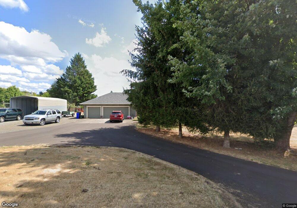
20590 S May Rd Oregon City, OR 97045
Estimated Value: $929,000 - $1,035,910
4
Beds
3
Baths
2,576
Sq Ft
$380/Sq Ft
Est. Value
About This Home
This home is located at 20590 S May Rd, Oregon City, OR 97045 and is currently estimated at $977,978, approximately $379 per square foot. 20590 S May Rd is a home located in Clackamas County with nearby schools including John McLoughlin Elementary School, Gardiner Middle School, and Oregon City Senior High School.
Ownership History
Date
Name
Owned For
Owner Type
Purchase Details
Closed on
Apr 29, 2025
Sold by
Chandler Mark D and Chandler Lori D
Bought by
Mark And Lori Chandler Family Trust and Chandler
Current Estimated Value
Purchase Details
Closed on
Nov 7, 2012
Sold by
Wells Fargo Bank Na
Bought by
Chandler Mark D and Chandler Lori D
Purchase Details
Closed on
May 16, 2012
Sold by
Miska Charles and Miska Lisa M
Bought by
Wells Fargo Bank Na
Purchase Details
Closed on
Apr 27, 2001
Sold by
Inahara Alan C and Inahara Neale Marie
Bought by
Miska Charles R
Home Financials for this Owner
Home Financials are based on the most recent Mortgage that was taken out on this home.
Original Mortgage
$285,600
Interest Rate
6.92%
Mortgage Type
Balloon
Create a Home Valuation Report for This Property
The Home Valuation Report is an in-depth analysis detailing your home's value as well as a comparison with similar homes in the area
Home Values in the Area
Average Home Value in this Area
Purchase History
| Date | Buyer | Sale Price | Title Company |
|---|---|---|---|
| Mark And Lori Chandler Family Trust | -- | None Listed On Document | |
| Chandler Mark D | $370,000 | Servicelink | |
| Wells Fargo Bank Na | $571,018 | None Available | |
| Miska Charles R | $357,000 | Chicago Title Insurance Co |
Source: Public Records
Mortgage History
| Date | Status | Borrower | Loan Amount |
|---|---|---|---|
| Previous Owner | Miska Charles R | $285,600 | |
| Closed | Miska Charles R | $65,650 |
Source: Public Records
Tax History Compared to Growth
Tax History
| Year | Tax Paid | Tax Assessment Tax Assessment Total Assessment is a certain percentage of the fair market value that is determined by local assessors to be the total taxable value of land and additions on the property. | Land | Improvement |
|---|---|---|---|---|
| 2024 | $5,187 | $354,646 | -- | -- |
| 2023 | $5,187 | $344,318 | $0 | $0 |
| 2022 | $4,735 | $334,289 | $0 | $0 |
| 2021 | $4,548 | $324,550 | $0 | $0 |
| 2020 | $4,480 | $315,097 | $0 | $0 |
| 2019 | $4,251 | $305,921 | $0 | $0 |
| 2018 | $4,230 | $297,014 | $0 | $0 |
| 2017 | $4,131 | $288,361 | $0 | $0 |
| 2016 | $3,985 | $279,963 | $0 | $0 |
| 2015 | $3,875 | $271,808 | $0 | $0 |
| 2014 | $3,717 | $263,893 | $0 | $0 |
Source: Public Records
Map
Nearby Homes
- 20721 S May Rd
- 21303 S Central Point Rd
- 10585 S New Era Rd
- 10285 S New Era Rd
- 10202 S New Era Rd
- 19600 S End Rd
- 11300 Finnegans Way
- 11231 S Parkland Ct
- 19477 Hummingbird Loop
- 31616 SW Isle Way Ln
- 22075 S Haines Rd
- 31678 SW Isle Way Ln
- 19370 Westwood Dr
- 12426 S Criteser Rd
- 476 SW Hebb Park Rd
- 32088 SW Peach Cove Rd
- 18843 Chanelle Way
- 18876 Chanelle Way
- 19457 Sunset Springs Dr
- 527 SW Hoffman Rd
- 20590 S May Rd Unit 2774
- 20580 S May Rd
- 20657 S Nursery Ln
- 20606 S May Rd
- 20500 S May Rd
- 20691 S Nursery Ln
- 20556 S May Rd
- 20585 S May Rd
- 20466 S May Road N T
- 20466 S May Rd
- 20676 S May Rd
- 20624 S Nursery Ln
- 20590 S Nursery Ln
- 20463 S May Rd
- 20466 S May Nt Unit 1
- 20925 S Nursery Ln
- 20491 S May Rd
- 20685 S May Rd
- 20392 S May Rd
- 20707 S Nursery Ln