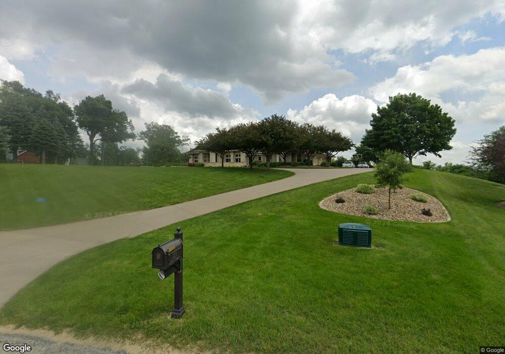
206 Abbotsford Rd Cedar Rapids, IA 52403
Estimated Value: $859,000 - $1,410,000
4
Beds
7
Baths
3,944
Sq Ft
$300/Sq Ft
Est. Value
About This Home
This home is located at 206 Abbotsford Rd, Cedar Rapids, IA 52403 and is currently estimated at $1,184,716, approximately $300 per square foot. 206 Abbotsford Rd is a home located in Linn County with nearby schools including Wilkins Elementary School, Excelsior Middle School, and Linn-Mar High School.
Ownership History
Date
Name
Owned For
Owner Type
Purchase Details
Closed on
Sep 26, 2019
Sold by
Dunn Gregory F and Dunn Wendy L
Bought by
Fleck Dudley F and Fleck Wendy M
Current Estimated Value
Home Financials for this Owner
Home Financials are based on the most recent Mortgage that was taken out on this home.
Original Mortgage
$750,000
Outstanding Balance
$639,189
Interest Rate
2.25%
Mortgage Type
New Conventional
Estimated Equity
$545,527
Purchase Details
Closed on
Sep 4, 2008
Sold by
Dunn Justin C
Bought by
Dunn Wendy L and Dunn Justin C
Purchase Details
Closed on
Jul 1, 2002
Sold by
Magid Brent M and Magid Mitzi W
Bought by
Dunn Greg and Dunn Wendy
Create a Home Valuation Report for This Property
The Home Valuation Report is an in-depth analysis detailing your home's value as well as a comparison with similar homes in the area
Home Values in the Area
Average Home Value in this Area
Purchase History
| Date | Buyer | Sale Price | Title Company |
|---|---|---|---|
| Fleck Dudley F | $1,125,000 | None Available | |
| Dunn Wendy L | $125,000 | None Available | |
| Dunn Greg | $159,500 | -- |
Source: Public Records
Mortgage History
| Date | Status | Borrower | Loan Amount |
|---|---|---|---|
| Open | Fleck Dudley F | $750,000 |
Source: Public Records
Tax History Compared to Growth
Tax History
| Year | Tax Paid | Tax Assessment Tax Assessment Total Assessment is a certain percentage of the fair market value that is determined by local assessors to be the total taxable value of land and additions on the property. | Land | Improvement |
|---|---|---|---|---|
| 2025 | $18,704 | $1,455,100 | $131,200 | $1,323,900 |
| 2024 | $14,992 | $1,401,500 | $131,200 | $1,270,300 |
| 2023 | $14,992 | $1,401,500 | $131,200 | $1,270,300 |
| 2022 | $14,504 | $963,400 | $131,200 | $832,200 |
| 2021 | $16,990 | $963,400 | $131,200 | $832,200 |
| 2020 | $16,990 | $1,050,900 | $131,200 | $919,700 |
| 2019 | $15,808 | $980,100 | $131,200 | $848,900 |
| 2018 | $15,102 | $980,100 | $131,200 | $848,900 |
| 2017 | $15,698 | $985,500 | $131,200 | $854,300 |
| 2016 | $15,443 | $985,500 | $131,200 | $854,300 |
| 2015 | $15,559 | $985,500 | $131,200 | $854,300 |
| 2014 | $15,422 | $985,500 | $131,200 | $854,300 |
| 2013 | $14,814 | $985,500 | $131,200 | $854,300 |
Source: Public Records
Map
Nearby Homes
- 6201 Lakeside Rd
- 2215 Timber Wolf Trail SE
- 0 S Lot 9 Parkridge Rd
- 5638 Meadow Grass Cir SE
- 5750 Meadow Grass Cir SE
- Lot 8 S Parkridge Rd
- Lot 7 S Parkridge Rd
- Lot 9 S Parkridge Rd
- 0 S Lot 8 Parkridge Rd Rd
- 0 S Lot 7 Parkridge Rd
- 5658 Meadow Grass Cir SE
- 819 Tumble Grass Ct SE
- 827 Tumble Grass Ct SE
- 921 Rosedale Rd SE
- 1209 Rose St
- 4809 Mcgowan Dr
- 1223 Vernon Hill Blvd
- 985 Raleigh Ln
- 1005 Alexis Ct
- 2235 Robert Dr
- 224 Abbotsford Rd
- 188 Abbotsford Rd
- 229 Abbotsford Rd
- 267 Haggis Way
- 170 Abbotsford Rd
- 258 Abbotsford Rd
- 183 Abbotsford Rd
- 275 Haggis Way
- 171 Abbotsford Rd
- 272 Haggis Way
- 276 Abbotsford Rd
- 293 Haggis Way
- 136 Dundrennan Ln
- 165 Abbotsford Rd
- 124 Dundrennan Ln
- 353 Squaw Ridge Rd
- 140 Dundrennan Ln
- 310 Abbotsford Rd
- 1 Deerfield Ln
- 6835 Lakeside Rd