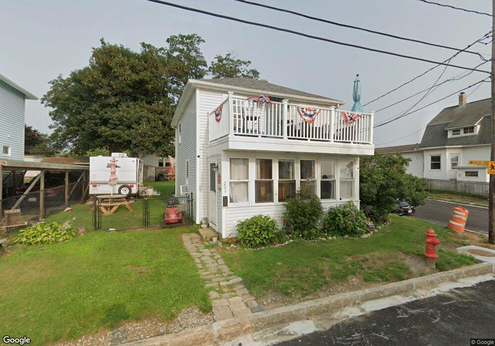
206 Atlantic Blvd Fall River, MA 02724
Sandy Beach NeighborhoodEstimated Value: $362,000 - $483,000
2
Beds
1
Bath
1,040
Sq Ft
$390/Sq Ft
Est. Value
About This Home
This home is located at 206 Atlantic Blvd, Fall River, MA 02724 and is currently estimated at $405,851, approximately $390 per square foot. 206 Atlantic Blvd is a home located in Bristol County with nearby schools including Henry Lord Community School, B M C Durfee High School, and Argosy Collegiate Charter School.
Ownership History
Date
Name
Owned For
Owner Type
Purchase Details
Closed on
Aug 19, 1998
Sold by
Cordeiro Michael and Cordeiro Susan R
Bought by
Saurette Margot A
Current Estimated Value
Home Financials for this Owner
Home Financials are based on the most recent Mortgage that was taken out on this home.
Original Mortgage
$90,072
Interest Rate
6.86%
Mortgage Type
Purchase Money Mortgage
Purchase Details
Closed on
Apr 4, 1996
Sold by
Moniz Sarah L
Bought by
Cordeiro Michael and Cordeiro Susan R
Create a Home Valuation Report for This Property
The Home Valuation Report is an in-depth analysis detailing your home's value as well as a comparison with similar homes in the area
Home Values in the Area
Average Home Value in this Area
Purchase History
| Date | Buyer | Sale Price | Title Company |
|---|---|---|---|
| Saurette Margot A | $91,500 | -- | |
| Cordeiro Michael | $50,000 | -- |
Source: Public Records
Mortgage History
| Date | Status | Borrower | Loan Amount |
|---|---|---|---|
| Open | Cordeiro Michael | $145,000 | |
| Closed | Cordeiro Michael | $118,000 | |
| Closed | Cordeiro Michael | $90,072 |
Source: Public Records
Tax History
| Year | Tax Paid | Tax Assessment Tax Assessment Total Assessment is a certain percentage of the fair market value that is determined by local assessors to be the total taxable value of land and additions on the property. | Land | Improvement |
|---|---|---|---|---|
| 2025 | $3,442 | $300,600 | $149,200 | $151,400 |
| 2024 | $3,268 | $284,400 | $146,300 | $138,100 |
| 2023 | $3,174 | $258,700 | $131,800 | $126,900 |
| 2022 | $2,586 | $230,600 | $124,300 | $106,300 |
| 2021 | $2,586 | $187,000 | $118,800 | $68,200 |
| 2020 | $2,806 | $194,200 | $113,300 | $80,900 |
| 2019 | $2,855 | $195,800 | $118,500 | $77,300 |
| 2018 | $3,942 | $192,500 | $119,300 | $73,200 |
| 2017 | $2,678 | $191,300 | $119,300 | $72,000 |
| 2016 | $2,601 | $190,800 | $123,000 | $67,800 |
| 2015 | $2,519 | $192,600 | $123,000 | $69,600 |
| 2014 | $2,423 | $192,600 | $123,000 | $69,600 |
Source: Public Records
Map
Nearby Homes
- 24 Valley St
- 391 Clarkson St
- 579 Summit St Unit 3
- 579 Summit St Unit 2
- 616 Woodman St
- 126 Wheeler St
- 30 Broad St
- 42 Main Rd
- 2229 S Main St
- 245 Dwelly St
- 25 Mathew Rd
- 609 King Philip St
- 29 Robert St
- 15 Higgins St
- 57 Larouche St
- 1852 S Main St
- 1846 S Main St
- 12 Horizon Dr
- 347 Main Rd Unit 103
- 359 Main Rd
- 196 Atlantic Blvd
- 196 Atlantic Blvd Unit 2
- 226 Atlantic Blvd
- 26 Bryan St
- 217 Atlantic Blvd
- 15 Mount Hope Ave
- 15 Mount Hope Ave Unit 1
- 19 Mount Hope Ave
- 19 Mount Hope Ave Unit 2
- 236 Atlantic Blvd
- 23 Bryan St
- 27 Mount Hope Ave
- 27 Bryan St
- 58 Bryan St
- 0 Mt Hope St Unit 3 71629990
- 35 Mount Hope Ave
- 20 Duke St
- 26 Duke St
- 8 Mount Hope Ave
- 45 Bryan St
Your Personal Tour Guide
Ask me questions while you tour the home.