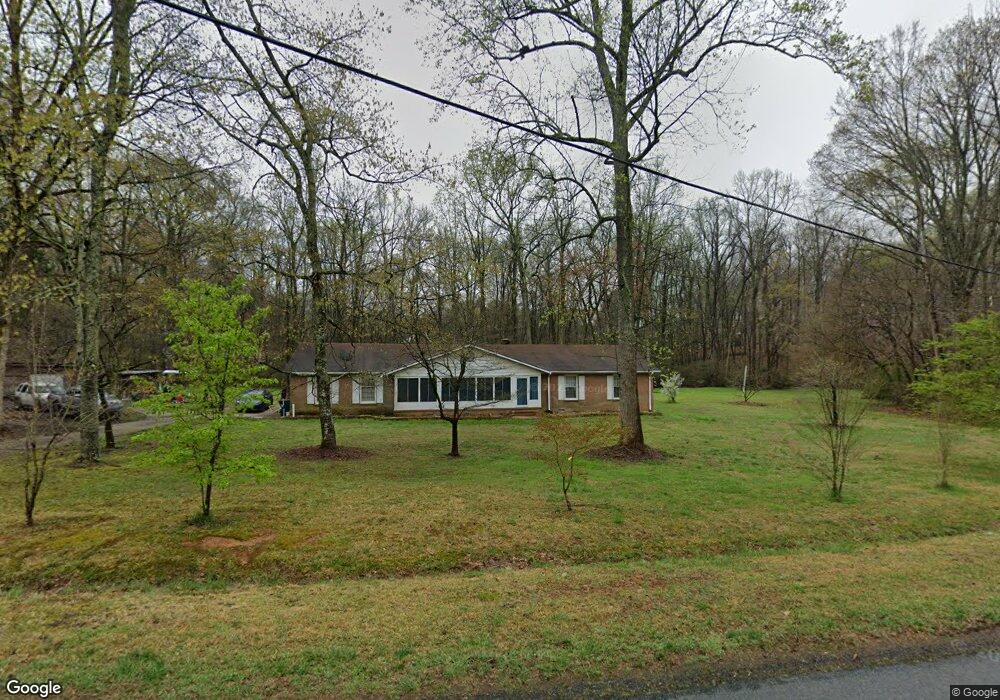
206 Brookfield Cir Salisbury, NC 28146
Estimated Value: $309,839 - $383,000
Studio
2
Baths
1,765
Sq Ft
$194/Sq Ft
Est. Value
About This Home
This home is located at 206 Brookfield Cir, Salisbury, NC 28146 and is currently estimated at $341,710, approximately $193 per square foot. 206 Brookfield Cir is a home located in Rowan County with nearby schools including China Grove Elementary School, Southeast Middle School, and Jesse C Carson High School.
Ownership History
Date
Name
Owned For
Owner Type
Purchase Details
Closed on
Feb 14, 2024
Sold by
Biggers Ronnie F
Bought by
Biggers Ronnie F and Biggers Lenora
Current Estimated Value
Home Financials for this Owner
Home Financials are based on the most recent Mortgage that was taken out on this home.
Original Mortgage
$244,821
Outstanding Balance
$237,914
Interest Rate
4%
Mortgage Type
VA
Estimated Equity
$103,796
Purchase Details
Closed on
Jun 10, 1997
Bought by
Biggers Ronnie Frank
Create a Home Valuation Report for This Property
The Home Valuation Report is an in-depth analysis detailing your home's value as well as a comparison with similar homes in the area
Purchase History
| Date | Buyer | Sale Price | Title Company |
|---|---|---|---|
| Biggers Ronnie F | -- | None Listed On Document | |
| Biggers Ronnie F | -- | None Listed On Document | |
| Biggers Ronnie Frank | -- | -- |
Source: Public Records
Mortgage History
| Date | Status | Borrower | Loan Amount |
|---|---|---|---|
| Open | Biggers Ronnie F | $244,821 | |
| Closed | Biggers Ronnie F | $244,821 |
Source: Public Records
Tax History
| Year | Tax Paid | Tax Assessment Tax Assessment Total Assessment is a certain percentage of the fair market value that is determined by local assessors to be the total taxable value of land and additions on the property. | Land | Improvement |
|---|---|---|---|---|
| 2025 | $1,702 | $254,038 | $52,500 | $201,538 |
| 2024 | $1,702 | $254,038 | $52,500 | $201,538 |
| 2023 | $1,702 | $254,038 | $52,500 | $201,538 |
| 2022 | $1,271 | $170,078 | $46,200 | $123,878 |
| 2021 | $1,262 | $170,078 | $46,200 | $123,878 |
| 2020 | $1,262 | $170,078 | $46,200 | $123,878 |
| 2019 | $1,262 | $170,078 | $46,200 | $123,878 |
| 2018 | $1,087 | $147,669 | $46,200 | $101,469 |
| 2017 | $1,087 | $147,669 | $46,200 | $101,469 |
| 2016 | $1,087 | $147,669 | $46,200 | $101,469 |
| 2015 | $1,103 | $147,669 | $46,200 | $101,469 |
| 2014 | $1,034 | $145,177 | $45,150 | $100,027 |
Source: Public Records
Map
Nearby Homes
- 0 Brookfield Cir Unit CAR4292885
- 1352 Eva Ln
- 620 Mount Hope Church Rd
- 1080 Beckham Rd
- 1060 Beckham Rd
- 5650 Bertie Ave
- 1395 Safrit Rd
- 355 Swink Ave
- 6255 Meadow Ln
- 425 Acorn Oaks Dr
- 179 Spring Oak Dr
- 1140 Peeler Rd
- 1675 N Main St
- 735 Grace Church Rd
- 410 Black Bear St Unit 153p
- 450 Black Bear St Unit 149p
- 460 Black Bear St Unit 148p
- 465 Black Bear St Unit 156p
- 1160 Fox Chase Ct
- 491 White Hare Ln Unit 75
- 205 Brookfield Cir
- 103 Fieldstone Dr
- 304 Brookfield Cir
- 105 Fieldstone Dr
- 107 Fieldstone Dr
- 152 Brookfield Cir
- 305 Brookfield Cir
- 305 Brookfield Cir Unit 66/67
- 306 Brookfield Cir
- 110 Fieldstone Dr
- 111 Fieldstone Dr
- 308 Brookfield Cir
- 403 Brookfield Cir
- 215 Fieldstone Dr
- 670 Leach Rd
- 405 Brookfield Cir
- 820 Leach Rd
- 222 Fieldstone Dr
- 407 Brookfield Cir
- 810 Ed Weavers Rd
Your Personal Tour Guide
Ask me questions while you tour the home.