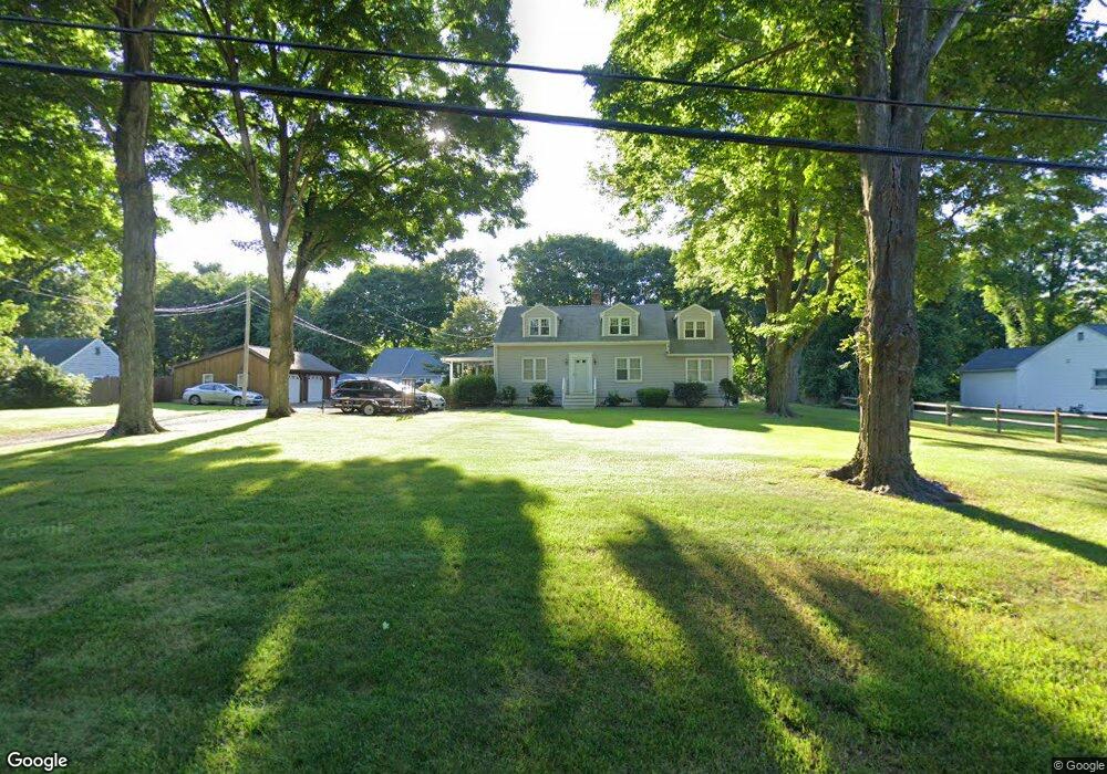
206 Copse Rd Madison, CT 06443
Estimated Value: $603,000 - $735,000
4
Beds
2
Baths
2,106
Sq Ft
$326/Sq Ft
Est. Value
About This Home
This home is located at 206 Copse Rd, Madison, CT 06443 and is currently estimated at $685,830, approximately $325 per square foot. 206 Copse Rd is a home located in New Haven County with nearby schools including Walter C. Polson Upper Middle School, Daniel Hand High School, and Our Lady of Mercy Preparatory Academy.
Ownership History
Date
Name
Owned For
Owner Type
Purchase Details
Closed on
Jun 8, 2020
Sold by
Vanstrum Kevin
Bought by
Plesiak Marcelina and Vanstrum Kevin
Current Estimated Value
Home Financials for this Owner
Home Financials are based on the most recent Mortgage that was taken out on this home.
Original Mortgage
$125,000
Outstanding Balance
$84,652
Interest Rate
3.2%
Mortgage Type
New Conventional
Estimated Equity
$601,178
Purchase Details
Closed on
May 18, 2020
Sold by
Vanstrum Peter
Bought by
Vanstrum Kevin
Home Financials for this Owner
Home Financials are based on the most recent Mortgage that was taken out on this home.
Original Mortgage
$125,000
Outstanding Balance
$84,652
Interest Rate
3.2%
Mortgage Type
New Conventional
Estimated Equity
$601,178
Create a Home Valuation Report for This Property
The Home Valuation Report is an in-depth analysis detailing your home's value as well as a comparison with similar homes in the area
Home Values in the Area
Average Home Value in this Area
Purchase History
| Date | Buyer | Sale Price | Title Company |
|---|---|---|---|
| Plesiak Marcelina | -- | None Available | |
| Vanstrum Kevin | -- | None Available |
Source: Public Records
Mortgage History
| Date | Status | Borrower | Loan Amount |
|---|---|---|---|
| Open | Plesiak Marcelina | $125,000 | |
| Closed | Vanstrum Kevin | $125,000 |
Source: Public Records
Tax History
| Year | Tax Paid | Tax Assessment Tax Assessment Total Assessment is a certain percentage of the fair market value that is determined by local assessors to be the total taxable value of land and additions on the property. | Land | Improvement |
|---|---|---|---|---|
| 2025 | $9,618 | $428,800 | $116,600 | $312,200 |
| 2024 | $9,434 | $428,800 | $116,600 | $312,200 |
| 2023 | $8,431 | $281,300 | $89,700 | $191,600 |
| 2022 | $8,273 | $281,300 | $89,700 | $191,600 |
| 2021 | $8,116 | $281,300 | $89,700 | $191,600 |
| 2020 | $7,975 | $281,300 | $89,700 | $191,600 |
| 2019 | $7,975 | $281,300 | $89,700 | $191,600 |
| 2018 | $7,826 | $279,100 | $93,400 | $185,700 |
| 2017 | $7,619 | $279,100 | $93,400 | $185,700 |
| 2016 | $7,393 | $279,100 | $93,400 | $185,700 |
| 2015 | $7,190 | $279,100 | $93,400 | $185,700 |
| 2014 | $8,485 | $337,120 | $127,800 | $209,320 |
Source: Public Records
Map
Nearby Homes
- 75 Fairview Dr
- 14 Centre Village Dr
- 37 Lantern Hill Rd
- 31 Stony Lane Lot 2 Rd
- 31 Stony Lane Lot 1 Rd
- 178 Mungertown Rd
- 31 Stony Lane Lot 3 Rd
- 30 Meeting House Ln
- 42 Wildcat Rd
- 162 Yankee Peddler Path
- 38 Sportsman Hill Rd
- 198 Green Hill Rd
- 461 Green Hill Rd
- 2 Esterly Farms Rd
- 22 Nathans Ln
- 24 Railroad Ave
- 42 Neck Rd
- 0 Bushnell Ln
- 173 Wildwood Ave
- 0 Skytop Dr
Your Personal Tour Guide
Ask me questions while you tour the home.