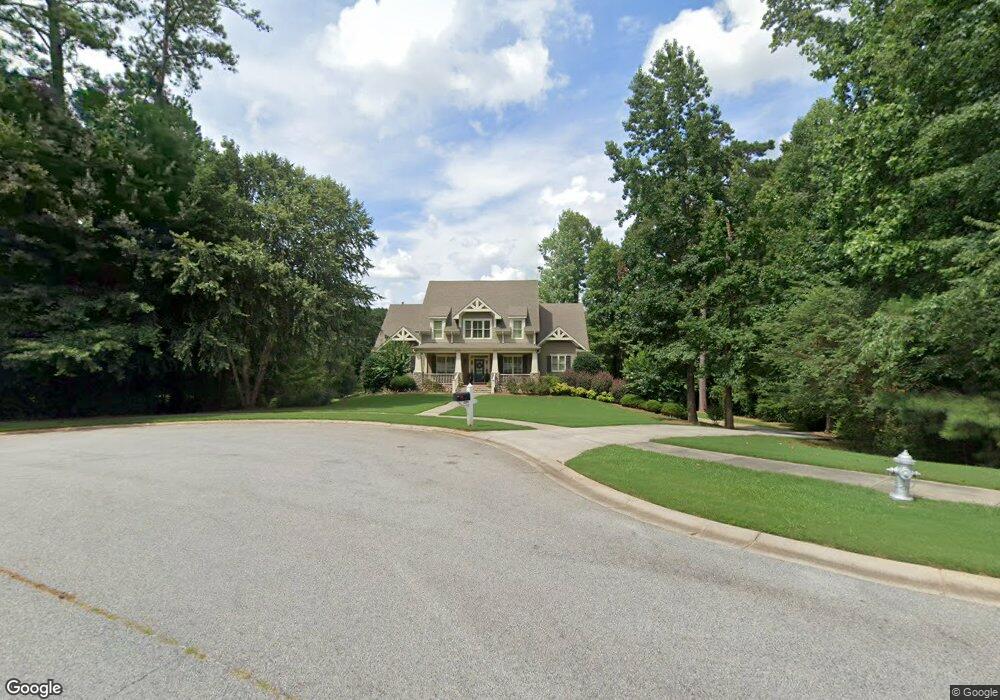
206 Dunquin Rock Tyrone, GA 30290
Estimated Value: $692,298 - $867,000
Studio
--
Bath
3,484
Sq Ft
$228/Sq Ft
Est. Value
About This Home
This home is located at 206 Dunquin Rock, Tyrone, GA 30290 and is currently estimated at $794,575, approximately $228 per square foot. 206 Dunquin Rock is a home located in Fayette County with nearby schools including Crabapple Lane Elementary School, Flat Rock Middle School, and Sandy Creek High School.
Ownership History
Date
Name
Owned For
Owner Type
Purchase Details
Closed on
Apr 4, 2005
Sold by
Regency Homes
Bought by
Hobby Jon J and Hobby Lori
Current Estimated Value
Home Financials for this Owner
Home Financials are based on the most recent Mortgage that was taken out on this home.
Original Mortgage
$100,000
Interest Rate
5.74%
Mortgage Type
New Conventional
Create a Home Valuation Report for This Property
The Home Valuation Report is an in-depth analysis detailing your home's value as well as a comparison with similar homes in the area
Home Values in the Area
Average Home Value in this Area
Purchase History
| Date | Buyer | Sale Price | Title Company |
|---|---|---|---|
| Hobby Jon J | $595,000 | -- |
Source: Public Records
Mortgage History
| Date | Status | Borrower | Loan Amount |
|---|---|---|---|
| Closed | Hobby Jon J | $100,000 | |
| Open | Hobby Jon J | $359,650 |
Source: Public Records
Tax History
| Year | Tax Paid | Tax Assessment Tax Assessment Total Assessment is a certain percentage of the fair market value that is determined by local assessors to be the total taxable value of land and additions on the property. | Land | Improvement |
|---|---|---|---|---|
| 2024 | $7,630 | $313,104 | $44,000 | $269,104 |
| 2023 | $7,173 | $299,920 | $44,000 | $255,920 |
Source: Public Records
Map
Nearby Homes
- 130 Windchime Way Unit 9
- 2230 Castle Lake Dr
- 2185 Castle Lake Dr
- 100 Clydesdale Ct
- 121 Northwoods Rd
- 200 Chaparral Trace
- 135 French Village Blvd
- 105 Laurel Forest Dr
- 95 Tyler Woods Dr
- 108 Tullamore Trail
- 321 Cottonwood Cir
- 100 Sycamore Way
- 408 Strathmore Dr
- 100 Leisure Trail
- 113 Creggan Hill Ct
- 152 Ardenlee Dr
- 12 Race Point Way
- 125 Lyndhurst Way
- 208 Silver Maple Ct
- 307 Chestnut Oak Dr
- 204 Dunquin Rock
- 205 Dunquin Rock
- 203 Dunquin Rock
- 313 Roundstone Rock Unit 82
- 202 Dunquin Rock
- 201 Dunquin Rock
- 201 Dunquin Rock Unit 15
- 314 Roundstone Rock
- 112 Beresford Rd
- 311 Roundstone Rock Unit 83
- 311 Roundstone Rock
- 110 Beresford Rd
- 200 Dunquin Rock
- 114 Beresford Rd
- 114 Beresford Rd Unit 33
- 309 Roundstone Rock Unit 84
- 116 Beresford Rd
- 312 Roundstone Rock Unit ROCK
- 312 Roundstone Rock Unit 80
- 111 Beresford Rd